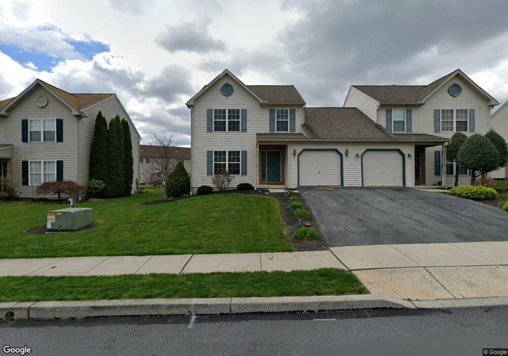
1047 Leanne St Reading, PA 19605
Estimated Value: $272,530 - $362,000
3
Beds
2
Baths
1,512
Sq Ft
$211/Sq Ft
Est. Value
About This Home
This home is located at 1047 Leanne St, Reading, PA 19605 and is currently estimated at $319,133, approximately $211 per square foot. 1047 Leanne St is a home located in Berks County with nearby schools including C E Cole Intermediate School, Muhlenberg Elementary Center, and Muhlenberg Junior High School.
Ownership History
Date
Name
Owned For
Owner Type
Purchase Details
Closed on
Jun 2, 2009
Sold by
Martin Rebecca L
Bought by
Martin Rebecca L and Martin Kenneth B
Current Estimated Value
Home Financials for this Owner
Home Financials are based on the most recent Mortgage that was taken out on this home.
Original Mortgage
$60,000
Outstanding Balance
$38,031
Interest Rate
4.83%
Mortgage Type
New Conventional
Estimated Equity
$281,102
Create a Home Valuation Report for This Property
The Home Valuation Report is an in-depth analysis detailing your home's value as well as a comparison with similar homes in the area
Purchase History
| Date | Buyer | Sale Price | Title Company |
|---|---|---|---|
| Martin Rebecca L | -- | None Available |
Source: Public Records
Mortgage History
| Date | Status | Borrower | Loan Amount |
|---|---|---|---|
| Open | Martin Rebecca L | $60,000 |
Source: Public Records
Tax History
| Year | Tax Paid | Tax Assessment Tax Assessment Total Assessment is a certain percentage of the fair market value that is determined by local assessors to be the total taxable value of land and additions on the property. | Land | Improvement |
|---|---|---|---|---|
| 2025 | $1,684 | $112,200 | $31,000 | $81,200 |
| 2024 | $5,402 | $112,200 | $31,000 | $81,200 |
| 2023 | $5,070 | $112,200 | $31,000 | $81,200 |
| 2022 | $4,986 | $112,200 | $31,000 | $81,200 |
| 2021 | $4,868 | $112,200 | $31,000 | $81,200 |
| 2020 | $4,868 | $112,200 | $31,000 | $81,200 |
| 2019 | $4,765 | $112,200 | $31,000 | $81,200 |
| 2018 | $4,681 | $112,200 | $31,000 | $81,200 |
| 2017 | $4,593 | $112,200 | $31,000 | $81,200 |
| 2016 | $1,360 | $112,200 | $31,000 | $81,200 |
| 2015 | $1,360 | $112,200 | $31,000 | $81,200 |
| 2014 | $1,360 | $112,200 | $31,000 | $81,200 |
Source: Public Records
Map
Nearby Homes
- 317 Rivervale Rd
- 1047 Sage Ave
- 1007 Bowman St
- 1079 Sage Ave
- 1018 Bowman St
- 1025 Yarrow Ave
- 1004 Heath Ave
- 5213 Stoudts Ferry Bridge Rd
- 125 Tuckerton Rd Unit 916
- 1326 Fredrick Blvd
- 1128 Fredrick Blvd Unit 19D
- 1041 River Crest Dr
- 4312 Stoudts Ferry Bridge Rd
- 3555 Reading Crest Ave
- 503 El Hatco Dr
- 906 Sutters Mill Ln
- 706 Wagon Wheel Ln
- 4113 Kinder Dr
- 1005 Landover Dr
- 523 Mount Laurel Ave
- 1045 Leanne St
- 1049 Leanne St
- 1043 Leanne St
- 1051 Leanne St
- 1007 Saint Vincent Ct
- 1005 Saint Vincent Ct
- 1009 Saint Vincent Ct
- 1041 Leanne St
- 1046 Leanne St
- 1044 Leanne St
- 1048 Leanne St
- 1039 Leanne St
- 1011 Saint Vincent Ct
- 1042 Leanne St
- 1037 Leanne St
- 1000 Saint Vincent Ct
- 1050 Leanne St
- 1007 Eddystone Ct
- 1002 Saint Vincent Ct
- 1040 Leanne St
Your Personal Tour Guide
Ask me questions while you tour the home.