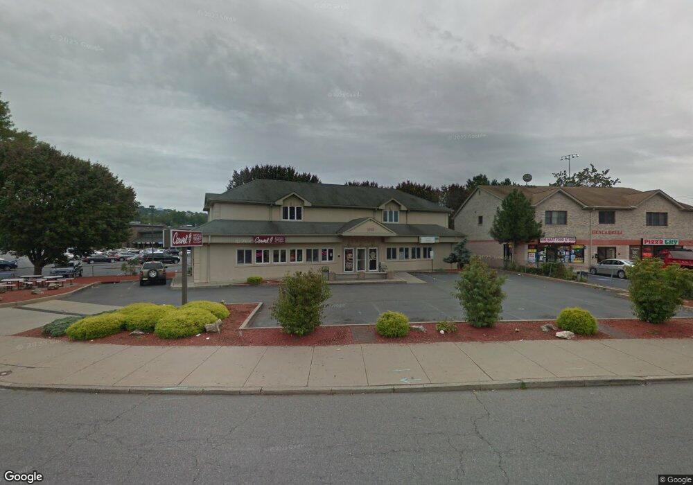
1047 Mcbride Ave Woodland Park, NJ 07424
Estimated Value: $1,275,416
1
Bed
1
Bath
4,531
Sq Ft
$281/Sq Ft
Est. Value
About This Home
This home is located at 1047 Mcbride Ave, Woodland Park, NJ 07424 and is currently estimated at $1,275,416, approximately $281 per square foot. 1047 Mcbride Ave is a home located in Passaic County with nearby schools including Charles Olbon School, Beatrice Gilmore Elementary School, and Memorial Middle School.
Ownership History
Date
Name
Owned For
Owner Type
Purchase Details
Closed on
Feb 28, 2024
Sold by
1045 Mcbride Ave Llc
Bought by
1045 Mcbride Holdings Llc
Current Estimated Value
Home Financials for this Owner
Home Financials are based on the most recent Mortgage that was taken out on this home.
Original Mortgage
$645,000
Outstanding Balance
$634,272
Interest Rate
6.63%
Mortgage Type
New Conventional
Estimated Equity
$641,144
Purchase Details
Closed on
Apr 8, 2016
Sold by
Senocam Inc
Bought by
1045 Mcbride Ave Llc
Home Financials for this Owner
Home Financials are based on the most recent Mortgage that was taken out on this home.
Original Mortgage
$500,000
Interest Rate
3.59%
Mortgage Type
Commercial
Create a Home Valuation Report for This Property
The Home Valuation Report is an in-depth analysis detailing your home's value as well as a comparison with similar homes in the area
Home Values in the Area
Average Home Value in this Area
Purchase History
| Date | Buyer | Sale Price | Title Company |
|---|---|---|---|
| 1045 Mcbride Holdings Llc | $1,160,000 | Fidelity National Title | |
| 1045 Mcbride Holdings Llc | $1,160,000 | Fidelity National Title | |
| 1045 Mcbride Ave Llc | $700,000 | Fidelity National Title Insu |
Source: Public Records
Mortgage History
| Date | Status | Borrower | Loan Amount |
|---|---|---|---|
| Open | 1045 Mcbride Holdings Llc | $645,000 | |
| Closed | 1045 Mcbride Holdings Llc | $645,000 | |
| Previous Owner | 1045 Mcbride Ave Llc | $500,000 |
Source: Public Records
Tax History Compared to Growth
Tax History
| Year | Tax Paid | Tax Assessment Tax Assessment Total Assessment is a certain percentage of the fair market value that is determined by local assessors to be the total taxable value of land and additions on the property. | Land | Improvement |
|---|---|---|---|---|
| 2025 | $16,099 | $481,000 | $255,200 | $225,800 |
| 2024 | $15,791 | $481,000 | $255,200 | $225,800 |
| 2022 | $15,815 | $481,000 | $255,200 | $225,800 |
| 2021 | $15,608 | $481,000 | $255,200 | $225,800 |
| 2020 | $15,325 | $481,000 | $255,200 | $225,800 |
| 2019 | $14,983 | $481,000 | $255,200 | $225,800 |
| 2018 | $15,204 | $481,000 | $255,200 | $225,800 |
| 2017 | $14,810 | $481,000 | $255,200 | $225,800 |
| 2016 | $14,574 | $481,000 | $255,200 | $225,800 |
| 2015 | $14,257 | $481,000 | $255,200 | $225,800 |
| 2014 | $13,307 | $492,300 | $264,000 | $228,300 |
Source: Public Records
Map
Nearby Homes
- 1047 Mcbride Ave Unit C
- 1047 Mcbride Ave Unit 2
- 1045 Mcbride Ave
- 1051 Mcbride Ave
- 1031 Mcbride Ave Unit C204
- 1031 Mcbride Ave
- 1031 Mcbride Ave
- 1031 Mcbride Ave
- 1031 Mcbride Ave
- 1031 Mcbride Ave
- 1031 Mcbride Ave
- 1031 Mcbride Ave
- 1031 Mcbride Ave
- 1031 Mcbride Ave
- 1031 Mcbride Ave
- 1031 Mcbride Ave
- 1031 Mcbride Ave
- 1031 Mcbride Ave
- 1031 Mcbride Ave
- 1031 Mcbride Ave