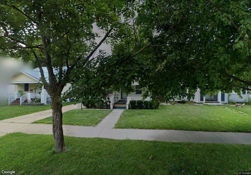
1047 N Oakland Ave Decatur, IL 62522
Garfield Park NeighborhoodEstimated Value: $36,000 - $49,000
2
Beds
1
Bath
924
Sq Ft
$47/Sq Ft
Est. Value
About This Home
This home is located at 1047 N Oakland Ave, Decatur, IL 62522 and is currently estimated at $43,045, approximately $46 per square foot. 1047 N Oakland Ave is a home located in Macon County with nearby schools including Stephen Decatur Middle School, St. Patrick School, and Teen Challenge-Home For Girls.
Ownership History
Date
Name
Owned For
Owner Type
Purchase Details
Closed on
Aug 1, 2024
Sold by
Midwest Properties Of Central Illinois L
Bought by
American Equity Funding Inc
Current Estimated Value
Purchase Details
Closed on
Mar 25, 2022
Sold by
Midwest Properties Of Central Illinois L
Bought by
Cliff Josette A
Purchase Details
Closed on
Nov 5, 2008
Sold by
Brown David
Bought by
Midwest Properties Of Central Illinois L
Purchase Details
Closed on
Jan 4, 2005
Sold by
Lickey Myrtie M
Bought by
Heritage Group Inc
Create a Home Valuation Report for This Property
The Home Valuation Report is an in-depth analysis detailing your home's value as well as a comparison with similar homes in the area
Home Values in the Area
Average Home Value in this Area
Purchase History
| Date | Buyer | Sale Price | Title Company |
|---|---|---|---|
| American Equity Funding Inc | $19,722 | None Listed On Document | |
| Cliff Josette A | -- | None Listed On Document | |
| Midwest Properties Of Central Illinois L | $26,000 | None Available | |
| Heritage Group Inc | $37,500 | None Available |
Source: Public Records
Tax History Compared to Growth
Tax History
| Year | Tax Paid | Tax Assessment Tax Assessment Total Assessment is a certain percentage of the fair market value that is determined by local assessors to be the total taxable value of land and additions on the property. | Land | Improvement |
|---|---|---|---|---|
| 2024 | $1,073 | $11,086 | $437 | $10,649 |
| 2023 | $1,064 | $10,694 | $422 | $10,272 |
| 2022 | $1,002 | $9,801 | $390 | $9,411 |
| 2021 | $942 | $9,154 | $365 | $8,789 |
| 2020 | $928 | $8,730 | $349 | $8,381 |
| 2019 | $928 | $8,730 | $349 | $8,381 |
| 2018 | $1,002 | $9,533 | $190 | $9,343 |
| 2017 | $1,025 | $9,787 | $195 | $9,592 |
| 2016 | $1,045 | $9,887 | $197 | $9,690 |
| 2015 | $993 | $9,713 | $194 | $9,519 |
| 2014 | $1,071 | $11,177 | $1,132 | $10,045 |
| 2013 | $1,107 | $11,596 | $1,174 | $10,422 |
Source: Public Records
Map
Nearby Homes
- 917 N Wilder Ave
- 1319 W Waggoner St
- 1065 W Green St
- 837 W Grand Ave
- 1451 W Marietta St
- 933 W Division St
- 1535 N Mcclellan Ave
- 1530 W Cushing St
- 925 W Olive St
- 1645 W Center St
- 1653 N Maple Ave
- 1675 W Center St
- 1545 N Monroe St
- 1415 N Dennis Ave
- 875 N Monroe St
- 1504 N Monroe St
- 958 W William St
- 644 W Division St
- 1706 W Division St
- 415 W Green St
- 1057 N Oakland Ave
- 1041 N Oakland Ave
- 1035 N Oakland Ave
- 1117 W Packard St
- 1027 N Oakland Ave
- 1052 N Oakland Ave
- 1124 W Packard St
- 1019 N Oakland Ave
- 1062 N Hill Ave
- 1034 N Oakland Ave
- 1145 W Packard St
- 1132 W Packard St
- 1109 N Oakland Ave
- 1054 N Hill Ave
- 1140 W Packard St
- 1117 N Oakland Ave
- 1009 N Oakland Ave
- 1075 W Packard St
- 1155 W Packard St
- 1106 N Oakland Ave