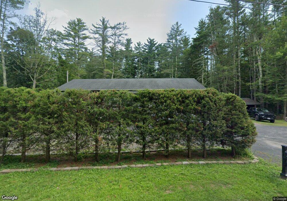
1047 Route 212 Saugerties, NY 12477
Estimated Value: $325,000 - $623,000
2
Beds
2
Baths
1,800
Sq Ft
$253/Sq Ft
Est. Value
About This Home
This home is located at 1047 Route 212, Saugerties, NY 12477 and is currently estimated at $456,000, approximately $253 per square foot. 1047 Route 212 is a home with nearby schools including Saugerties Senior High School, The Middle Way School, and St Mary Of The Snow School.
Ownership History
Date
Name
Owned For
Owner Type
Purchase Details
Closed on
Sep 12, 2013
Sold by
Desimone Bryan K and Desimone Pamela J
Bought by
Reyes Jose and Dereyes Elsi M
Current Estimated Value
Purchase Details
Closed on
Jul 2, 2010
Sold by
Nuzzi Pamela J and Desimone Pamela J
Bought by
Desimone Pamela J and Desimone Bryan K
Purchase Details
Closed on
Dec 30, 1998
Sold by
Shultis Edward G
Bought by
Nuzzi Pamela J
Purchase Details
Closed on
Sep 23, 1996
Sold by
Corsa Mathew
Bought by
Nuzzi Pamela J and Shultis Edward G
Create a Home Valuation Report for This Property
The Home Valuation Report is an in-depth analysis detailing your home's value as well as a comparison with similar homes in the area
Home Values in the Area
Average Home Value in this Area
Purchase History
| Date | Buyer | Sale Price | Title Company |
|---|---|---|---|
| Reyes Jose | $40,000 | -- | |
| Reyes Jose | $40,000 | -- | |
| Reyes Jose | $40,000 | -- | |
| Desimone Pamela J | -- | None Available | |
| Nuzzi Pamela J | $12,175 | -- | |
| Nuzzi Pamela J | $12,175 | -- | |
| Nuzzi Pamela J | $32,000 | -- | |
| Nuzzi Pamela J | $32,000 | -- |
Source: Public Records
Tax History Compared to Growth
Tax History
| Year | Tax Paid | Tax Assessment Tax Assessment Total Assessment is a certain percentage of the fair market value that is determined by local assessors to be the total taxable value of land and additions on the property. | Land | Improvement |
|---|---|---|---|---|
| 2024 | $1,150 | $56,000 | $20,000 | $36,000 |
| 2023 | $1,075 | $49,000 | $20,000 | $29,000 |
| 2022 | $1,024 | $41,500 | $20,000 | $21,500 |
| 2021 | $1,024 | $34,500 | $18,000 | $16,500 |
| 2020 | $1,003 | $31,000 | $16,000 | $15,000 |
| 2019 | $982 | $31,000 | $16,000 | $15,000 |
| 2018 | $971 | $30,000 | $16,000 | $14,000 |
| 2017 | $989 | $30,000 | $16,000 | $14,000 |
| 2016 | $987 | $30,000 | $16,000 | $14,000 |
| 2015 | -- | $30,000 | $16,000 | $14,000 |
| 2014 | -- | $16,000 | $16,000 | $0 |
Source: Public Records
Map
Nearby Homes
- 1055 Route 212
- 11 Echo Hill Rd
- 300 Band Camp Rd
- 18 Marys Ave
- 96 Echo Hill Rd
- 327 Phillips Rd
- O Band Camp Rd
- 0 Gladys Ln Unit 20240862
- 376 Band Camp Rd
- 0 Band Camp Unit 20255121
- Tbd Oak Ln
- TBD Manorville
- TBD Tiger Maple Ln
- 135 Patch Rd
- 597 New York 212
- 4 Churchland Rd
- 10 Harry Wells Rd
- 103 Park Place
- 390 Churchland Rd
- 371 Churchland Rd
- 1043 Route 212
- 315 Old Route 212
- 327 Old Route 212
- 26 George Sickle Rd
- 337 Old Route 212
- 18 George Sickle Rd
- 8 George Sickle Rd
- 8 George Sickle Rd
- 34 George Sickle Rd
- 324 Old Route 212
- 334 Old Route 212
- 11 George Sickle Rd
- 11 George Sickle Rd
- 00 Band Camp Rd
- 0 Band Camp Rd Unit 20111020
- 0 Band Camp Rd Unit 20121086
- 0 Band Camp Rd Unit 20131088
- 1073 Route 212
- 360 Old Route 212
- 5 George Sickle Rd