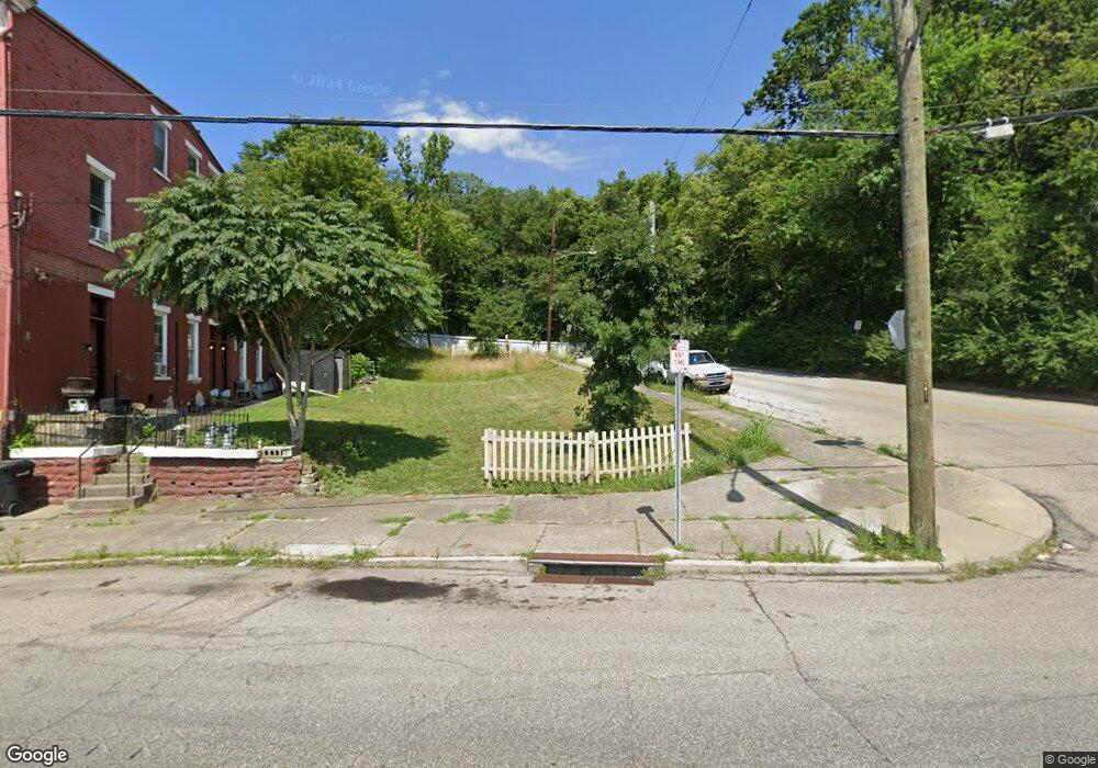
1047 State Ave Cincinnati, OH 45204
East Price Hill NeighborhoodEstimated Value: $159,000
Studio
--
Bath
--
Sq Ft
2,178
Sq Ft Lot
About This Home
This home is located at 1047 State Ave, Cincinnati, OH 45204 and is currently priced at $159,000. 1047 State Ave is a home located in Hamilton County with nearby schools including Oyler School, Robert A. Taft Information Technology High School, and Gilbert A. Dater High School.
Ownership History
Date
Name
Owned For
Owner Type
Purchase Details
Closed on
Sep 22, 2017
Sold by
Thompson Erick
Bought by
Kohler William and Kohler Marylin
Current Estimated Value
Purchase Details
Closed on
Jul 21, 2017
Sold by
Rhodes Dusty
Bought by
Thompson Erick
Purchase Details
Closed on
Feb 5, 2007
Sold by
Heinrich Richard C
Bought by
Heinrich Daisy C
Purchase Details
Closed on
Jun 27, 2002
Sold by
Norman A W
Bought by
Heinrich Richard C
Purchase Details
Closed on
Jul 2, 1992
Sold by
Rhodes Dusty
Bought by
H & N Land Company
Create a Home Valuation Report for This Property
The Home Valuation Report is an in-depth analysis detailing your home's value as well as a comparison with similar homes in the area
Home Values in the Area
Average Home Value in this Area
Purchase History
| Date | Buyer | Sale Price | Title Company |
|---|---|---|---|
| Kohler William | $2,000 | None Available | |
| Thompson Erick | -- | None Available | |
| Heinrich Daisy C | -- | None Available | |
| Heinrich Richard C | $2,000 | -- | |
| H & N Land Company | $80 | -- |
Source: Public Records
Tax History
| Year | Tax Paid | Tax Assessment Tax Assessment Total Assessment is a certain percentage of the fair market value that is determined by local assessors to be the total taxable value of land and additions on the property. | Land | Improvement |
|---|---|---|---|---|
| 2025 | $81 | $571 | $571 | -- |
| 2024 | $80 | $571 | $571 | -- |
| 2023 | $80 | $571 | $571 | $0 |
| 2022 | $89 | $606 | $606 | $0 |
| 2021 | $77 | $606 | $606 | $0 |
| 2020 | $356 | $606 | $606 | $0 |
| 2019 | $77 | $571 | $571 | $0 |
| 2018 | $2,722 | $571 | $571 | $0 |
| 2017 | $3,187 | $571 | $571 | $0 |
| 2016 | $3,508 | $4,263 | $4,263 | $0 |
| 2015 | $3,694 | $4,263 | $4,263 | $0 |
| 2014 | $3,913 | $4,263 | $4,263 | $0 |
| 2013 | $659 | $7,263 | $4,351 | $2,912 |
Source: Public Records
Map
Nearby Homes
- 2360 Wilder Ave
- 2425 Glenway Ave
- 2358 Glenway Ave
- 2485 Warsaw Ave
- 2519 Warsaw Ave
- 2540 Ring Place
- 1646 State Ave
- 2430 Maryland Ave
- 2829 Glenway Ave
- 2152 Staebler St
- 1114 Wing St
- 1030 Considine Ave
- 309 Mount Hope Ave
- 720 Grand Ave
- 1669 State Ave
- 1671 State Ave
- 817 Hawthorne Ave
- 1015 Purcell Ave
- 1708 State Ave
- 552 Grand Ave
- 1041 State Ave
- 1039 State Ave
- 2318 Wilder Ave
- 1037 State Ave
- 1033 State Ave
- 1033 State Ave Unit 1
- 1205 State Ave
- 2324 Wilder Ave
- 1222 Neff Ave
- 1209 State Ave
- 1232 Neff Ave
- 1211 State Ave
- 1234 Neff Ave
- 1213 State Ave
- 2336 Wilder Ave
- 1223 Neff Ave
- 1209 Neff Ave
- 1213 Neff Ave
- 1219 Neff Ave
- 1225 Neff Ave
Your Personal Tour Guide
Ask me questions while you tour the home.