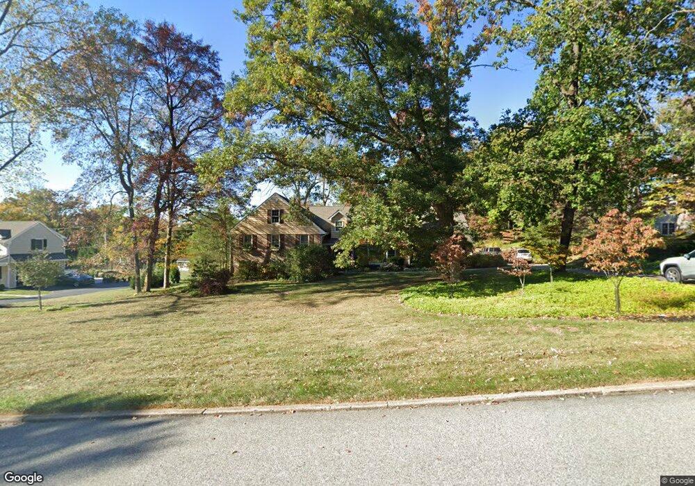
1047 Tenby Rd Berwyn, PA 19312
Estimated Value: $1,146,000 - $1,362,000
4
Beds
3
Baths
3,240
Sq Ft
$391/Sq Ft
Est. Value
About This Home
This home is located at 1047 Tenby Rd, Berwyn, PA 19312 and is currently estimated at $1,267,453, approximately $391 per square foot. 1047 Tenby Rd is a home located in Chester County with nearby schools including Beaumont Elementary School, Tredyffrin-Easttown Middle School, and Conestoga Senior High School.
Ownership History
Date
Name
Owned For
Owner Type
Purchase Details
Closed on
Jul 16, 2009
Sold by
Zouras Mary A and Mary A Zouras Living Trust
Bought by
Rodenhiser Thomas
Current Estimated Value
Purchase Details
Closed on
Mar 21, 2006
Sold by
Moran George P and Moran Carol I
Bought by
Moran Carol I
Purchase Details
Closed on
Dec 27, 2002
Sold by
Brownfield Sharon Lee and Lent Richard Morgan
Bought by
Zouras Mary A and Zouras Nicholas L
Purchase Details
Closed on
Apr 24, 1998
Sold by
Zimmer Karl J and Zimmer Dorothy C
Bought by
Brownfield Sharon Lee and Lent Richard Morgan
Home Financials for this Owner
Home Financials are based on the most recent Mortgage that was taken out on this home.
Original Mortgage
$227,000
Interest Rate
7.05%
Create a Home Valuation Report for This Property
The Home Valuation Report is an in-depth analysis detailing your home's value as well as a comparison with similar homes in the area
Home Values in the Area
Average Home Value in this Area
Purchase History
| Date | Buyer | Sale Price | Title Company |
|---|---|---|---|
| Rodenhiser Thomas | $600,000 | None Available | |
| Moran Carol I | -- | None Available | |
| Zouras Mary A | $561,200 | -- | |
| Brownfield Sharon Lee | $345,000 | -- |
Source: Public Records
Mortgage History
| Date | Status | Borrower | Loan Amount |
|---|---|---|---|
| Previous Owner | Brownfield Sharon Lee | $227,000 |
Source: Public Records
Tax History Compared to Growth
Tax History
| Year | Tax Paid | Tax Assessment Tax Assessment Total Assessment is a certain percentage of the fair market value that is determined by local assessors to be the total taxable value of land and additions on the property. | Land | Improvement |
|---|---|---|---|---|
| 2025 | $14,066 | $377,120 | $83,180 | $293,940 |
| 2024 | $14,066 | $377,120 | $83,180 | $293,940 |
| 2023 | $13,152 | $377,120 | $83,180 | $293,940 |
| 2022 | $12,793 | $377,120 | $83,180 | $293,940 |
| 2021 | $12,515 | $377,120 | $83,180 | $293,940 |
| 2020 | $11,524 | $357,190 | $83,180 | $274,010 |
| 2019 | $11,203 | $357,190 | $83,180 | $274,010 |
| 2018 | $11,009 | $357,190 | $83,180 | $274,010 |
| 2017 | $10,760 | $357,190 | $83,180 | $274,010 |
| 2016 | -- | $357,190 | $83,180 | $274,010 |
| 2015 | -- | $357,190 | $83,180 | $274,010 |
| 2014 | -- | $357,190 | $83,180 | $274,010 |
Source: Public Records
Map
Nearby Homes
- 709 Newtown Rd
- 837 Nathan Hale Rd
- 191 Stony Point Dr
- 1179 Beaumont Rd
- 206 Yorktown Place Unit 106
- 0 Prescott Rd Unit PACT2110528
- 718 Lot 1 Waterloo
- 1052 Prescott Rd
- 6 Wingstone Ln
- 520 Hawthorne Place
- 659 Andover Rd
- 600 Waynesfield Dr
- 641 Andover Rd
- 422 S Waterloo Rd
- 650 Augusta Ct
- 2000 Saint Andrews Dr
- 201 Church Rd
- 91 Central Ave
- 119 Waterloo Ave
- 541 Woodside Ave