Estimated Value: $677,000 - $885,000
4
Beds
3
Baths
2,535
Sq Ft
$305/Sq Ft
Est. Value
About This Home
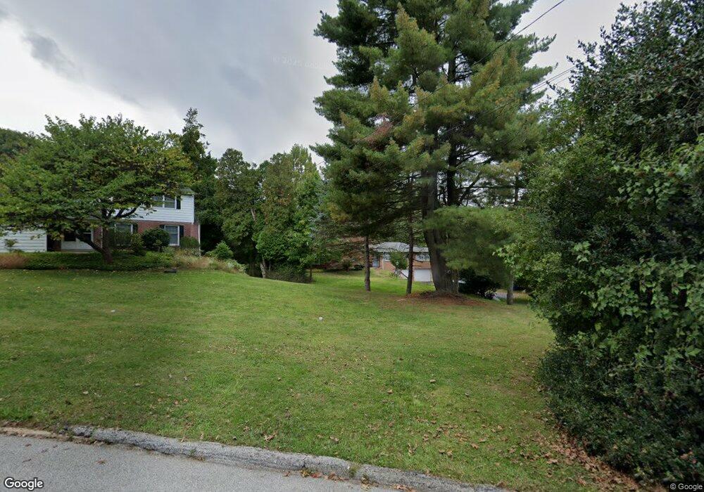
This home is located at 1047 Townsend Cir, Wayne, PA 19087 and is currently estimated at $774,012, approximately $305 per square foot. 1047 Townsend Cir is a home located in Montgomery County with nearby schools including Roberts Elementary School, Upper Merion Middle School, and Upper Merion High School.
Ownership History
Date
Name
Owned For
Owner Type
Purchase Details
Closed on
Jun 11, 2010
Sold by
Doukakis Harry C
Bought by
Zakhary Ramez and Zakhary Dalai
Current Estimated Value
Home Financials for this Owner
Home Financials are based on the most recent Mortgage that was taken out on this home.
Original Mortgage
$348,000
Outstanding Balance
$233,345
Interest Rate
4.98%
Estimated Equity
$540,667
Create a Home Valuation Report for This Property
The Home Valuation Report is an in-depth analysis detailing your home's value as well as a comparison with similar homes in the area
Purchase History
| Date | Buyer | Sale Price | Title Company |
|---|---|---|---|
| Zakhary Ramez | $435,000 | None Available |
Source: Public Records
Mortgage History
| Date | Status | Borrower | Loan Amount |
|---|---|---|---|
| Open | Zakhary Ramez | $348,000 |
Source: Public Records
Tax History
| Year | Tax Paid | Tax Assessment Tax Assessment Total Assessment is a certain percentage of the fair market value that is determined by local assessors to be the total taxable value of land and additions on the property. | Land | Improvement |
|---|---|---|---|---|
| 2025 | $6,615 | $214,630 | $64,110 | $150,520 |
| 2024 | $6,615 | $214,630 | $64,110 | $150,520 |
| 2023 | $6,380 | $214,630 | $64,110 | $150,520 |
| 2022 | $6,107 | $214,630 | $64,110 | $150,520 |
| 2021 | $5,918 | $214,630 | $64,110 | $150,520 |
| 2020 | $5,655 | $214,630 | $64,110 | $150,520 |
| 2019 | $5,559 | $214,630 | $64,110 | $150,520 |
Source: Public Records
Map
Nearby Homes
- 1034 Mount Pleasant Ave
- 559 Mitchford Rd
- 998 Upper Gulph Rd
- 966 Upper Gulph Rd
- 1111 Brians Way
- 1324 Karen Ln
- 371 Trillium Ln
- 125 Clover Hill Ln
- 780 Hobbs Rd
- 284 Croton Rd
- 50 Fariston Rd
- 1052 Eagle Rd
- 317 E Beechtree Ln
- 3 Briar Rd
- 795 Mancill Rd
- 118 W Beechtree Ln
- 417 Eagle Rd Unit 9
- 415 Eagle Rd Unit 8
- 332 Overhill Rd
- 260 N Aberdeen Ave
- 1035 Townsend Cir
- 1063 Townsend Cir
- 1021 Mount Pleasant Ave
- 1027 Townsend Cir
- 1009 Mount Pleasant Ave
- 1079 Townsend Cir
- 1013 Mount Pleasant Ave
- 1001 Mount Pleasant Ave
- 1039 Mount Pleasant Ave
- 1048 Townsend Cir
- 1015 Townsend Cir
- 1024 Townsend Cir
- 1043 Mount Pleasant Ave
- 1041 Hedgerow Cir
- 1022 Mount Pleasant Ave
- 991 Mount Pleasant Ave
- 1031 Hedgerow Cir
- 1020 Mount Pleasant Ave
- 1010 Mount Pleasant Ave
- 1059 Mount Pleasant Ave
Your Personal Tour Guide
Ask me questions while you tour the home.