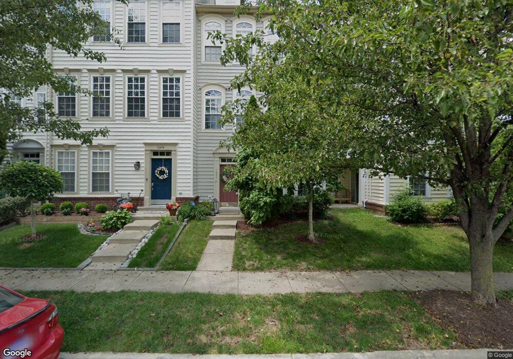
10472 Tenth Alabama Way Bristow, VA 20136
Estimated Value: $529,000 - $562,000
3
Beds
4
Baths
1,984
Sq Ft
$275/Sq Ft
Est. Value
About This Home
This home is located at 10472 Tenth Alabama Way, Bristow, VA 20136 and is currently estimated at $546,591, approximately $275 per square foot. 10472 Tenth Alabama Way is a home located in Prince William County with nearby schools including T. Clay Wood Elementary School, E.H. Marsteller Middle School, and Brentsville District High School.
Ownership History
Date
Name
Owned For
Owner Type
Purchase Details
Closed on
Feb 3, 2009
Sold by
Bank Of Ny Mellon Tr
Bought by
Shah Swapnyl
Current Estimated Value
Home Financials for this Owner
Home Financials are based on the most recent Mortgage that was taken out on this home.
Original Mortgage
$209,070
Outstanding Balance
$132,722
Interest Rate
5.18%
Mortgage Type
New Conventional
Estimated Equity
$413,869
Purchase Details
Closed on
Nov 24, 2008
Sold by
Samuel I White Pc
Bought by
The Bank Of New York
Create a Home Valuation Report for This Property
The Home Valuation Report is an in-depth analysis detailing your home's value as well as a comparison with similar homes in the area
Home Values in the Area
Average Home Value in this Area
Purchase History
| Date | Buyer | Sale Price | Title Company |
|---|---|---|---|
| Shah Swapnyl | $230,000 | -- | |
| The Bank Of New York | $246,500 | -- |
Source: Public Records
Mortgage History
| Date | Status | Borrower | Loan Amount |
|---|---|---|---|
| Open | Shah Swapnyl | $209,070 |
Source: Public Records
Tax History Compared to Growth
Tax History
| Year | Tax Paid | Tax Assessment Tax Assessment Total Assessment is a certain percentage of the fair market value that is determined by local assessors to be the total taxable value of land and additions on the property. | Land | Improvement |
|---|---|---|---|---|
| 2025 | $4,095 | $471,000 | $126,100 | $344,900 |
| 2024 | $4,095 | $411,800 | $120,000 | $291,800 |
| 2023 | $4,112 | $395,200 | $117,000 | $278,200 |
| 2022 | $4,190 | $378,300 | $115,500 | $262,800 |
| 2021 | $4,218 | $344,500 | $100,700 | $243,800 |
| 2020 | $5,163 | $333,100 | $100,700 | $232,400 |
| 2019 | $4,870 | $314,200 | $100,700 | $213,500 |
| 2018 | $3,775 | $312,600 | $100,700 | $211,900 |
| 2017 | $3,780 | $305,600 | $100,700 | $204,900 |
| 2016 | $3,728 | $304,200 | $100,700 | $203,500 |
| 2015 | $3,517 | $297,100 | $109,400 | $187,700 |
| 2014 | $3,517 | $280,500 | $102,800 | $177,700 |
Source: Public Records
Map
Nearby Homes
- 11650 Iron Brigade Unit Ave
- 11688 Camp Jones Ct
- 10554 Andrew Humphreys Ct
- 11823 Whitworth Cannon Ln
- 12021 Spring Beauty Rd
- 10505 Blazing Star Loop
- 12002 Fitzgerald Way
- 12054 Nokesville Rd
- 12203 Aster Rd
- 12171 Open Meadow Ln
- 9923 Bagpipe Ct
- 11862 Arcari Dr
- 12360 Corncrib Ct
- 14058 Hawkeye Run Ct
- 10941 Samuel Trexler Dr
- 12410 Iona Sound Dr
- 9651 Bedder Stone Place
- 10024 Darnaway Ct
- 12127 & 12131 Vint Hill Rd
- 9817 Maitland Loop
- 10474 Tenth Alabama Way
- 10470 Tenth Alabama Way
- 10476 Tenth Alabama Way
- 10478 Tenth Alabama Way
- 10433 Rifle Rd
- 10460 Tenth Alabama Way
- 10423 Rifle Rd
- 10425 Rifle Rd
- 10427 Rifle Rd
- 10421 Rifle Rd
- 10429 Rifle Rd
- 10458 Tenth Alabama Way
- 11636 Iron Brigade Unit Ave
- 10465 Tenth Alabama Way
- 11636 Iron Brigade
- 10481 Tenth Alabama Way
- 10456 Tenth Alabama Way
- 11638 Iron Brigade Unit Ave
- 11638 Iron Brigade
- 11640 Iron Brigade Unit Ave