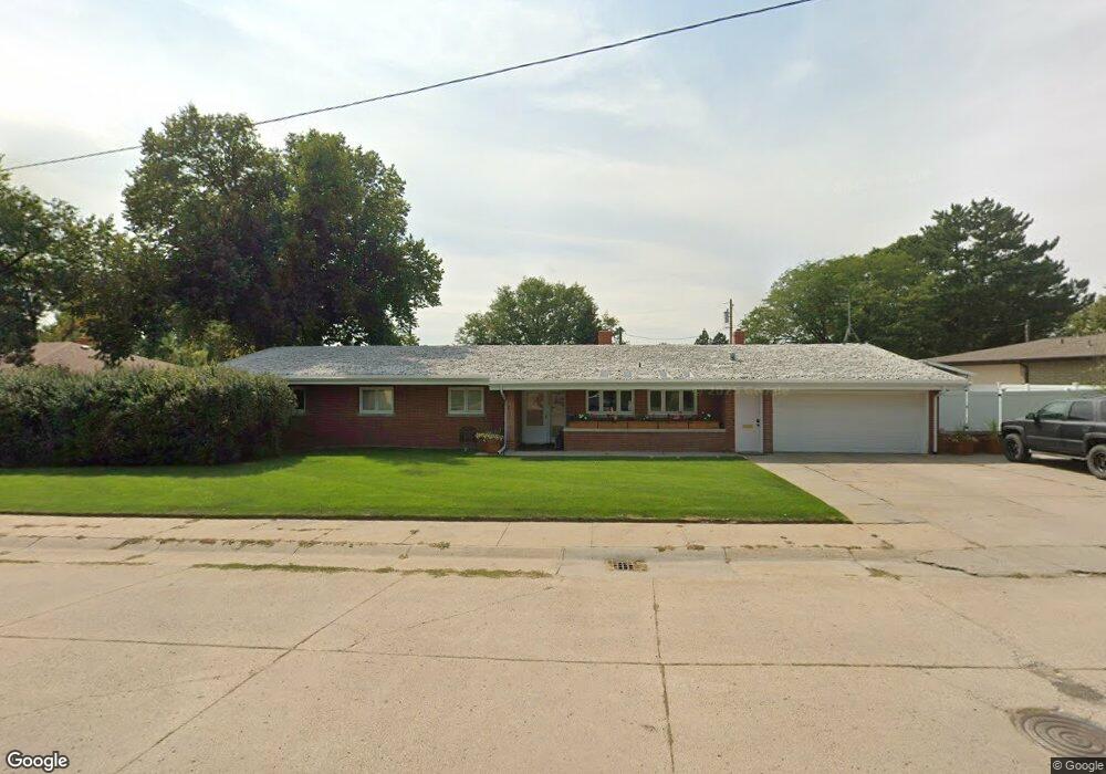
1048 Colorado Ave Alliance, NE 69301
Estimated Value: $169,000 - $272,000
3
Beds
3
Baths
1,892
Sq Ft
$123/Sq Ft
Est. Value
About This Home
This home is located at 1048 Colorado Ave, Alliance, NE 69301 and is currently estimated at $233,500, approximately $123 per square foot. 1048 Colorado Ave is a home located in Box Butte County with nearby schools including Alliance High School, St. Agnes Academy, and Immanuel Evangelical Lutheran School.
Ownership History
Date
Name
Owned For
Owner Type
Purchase Details
Closed on
Apr 12, 2021
Sold by
Cover Michael A and Cover Joni
Bought by
Redecker Matthew S and Redecker Lori A
Current Estimated Value
Home Financials for this Owner
Home Financials are based on the most recent Mortgage that was taken out on this home.
Original Mortgage
$107,500
Outstanding Balance
$79,756
Interest Rate
2.4%
Mortgage Type
New Conventional
Estimated Equity
$153,744
Create a Home Valuation Report for This Property
The Home Valuation Report is an in-depth analysis detailing your home's value as well as a comparison with similar homes in the area
Home Values in the Area
Average Home Value in this Area
Purchase History
| Date | Buyer | Sale Price | Title Company |
|---|---|---|---|
| Redecker Matthew S | -- | New Title Company Name |
Source: Public Records
Mortgage History
| Date | Status | Borrower | Loan Amount |
|---|---|---|---|
| Open | Redecker Matthew S | $107,500 |
Source: Public Records
Tax History Compared to Growth
Tax History
| Year | Tax Paid | Tax Assessment Tax Assessment Total Assessment is a certain percentage of the fair market value that is determined by local assessors to be the total taxable value of land and additions on the property. | Land | Improvement |
|---|---|---|---|---|
| 2024 | $2,696 | $215,229 | $16,609 | $198,620 |
| 2023 | $3,700 | $215,229 | $16,609 | $198,620 |
| 2022 | $3,386 | $185,923 | $14,948 | $170,975 |
| 2021 | $3,167 | $171,808 | $14,948 | $156,860 |
| 2020 | $3,158 | $171,808 | $14,948 | $156,860 |
| 2019 | $3,084 | $171,808 | $14,948 | $156,860 |
| 2018 | $3,069 | $171,808 | $14,948 | $156,860 |
| 2017 | $3,720 | $200,424 | $14,118 | $186,306 |
| 2016 | $3,677 | $200,426 | $14,120 | $186,306 |
| 2015 | $3,638 | $189,880 | $14,120 | $175,760 |
| 2014 | $3,638 | $189,302 | $14,117 | $175,185 |
Source: Public Records
Map
Nearby Homes
- 1021 Dakota Ave
- 936 Platte Ave
- 819 Black Hills Ave
- 911 Emerson Ave
- 1239 Toluca Ave
- 907 Toluca Ave
- 924 Big Horn Ave
- 1232 Cheyenne Ave
- 719 Toluca Ave
- 621 Emerson Ave
- 904 Laramie Ave
- 1019 Laramie Ave
- 672 W 20th St
- 20th St Emerson Ave To Colorado Ave
- 316 Big Horn Ave
- 420 Laramie Ave
- 615 Sweetwater Ave
- 1004 Missouri Ave
- 2039 Niobrara Ave
- 917 Missouri Ave
- 1042 Colorado Ave
- 1060 Colorado Ave
- 1045 Dakota Ave
- 746 W 12th St
- 1039 Dakota Ave
- 1051 Dakota Ave
- 1125 Colorado Ave
- 1034 Colorado Ave
- 743 W 13th St
- 1031 Dakota Ave
- 739 W 12th St
- 740 W 11th St
- 739 W 13th St
- 1030 Colorado Ave
- 730 W 12th St
- 764 W 13th St
- 768 W 13th St
- 1305 Dakota Ave
- 758 W 13th St
- 1046 Dakota Ave