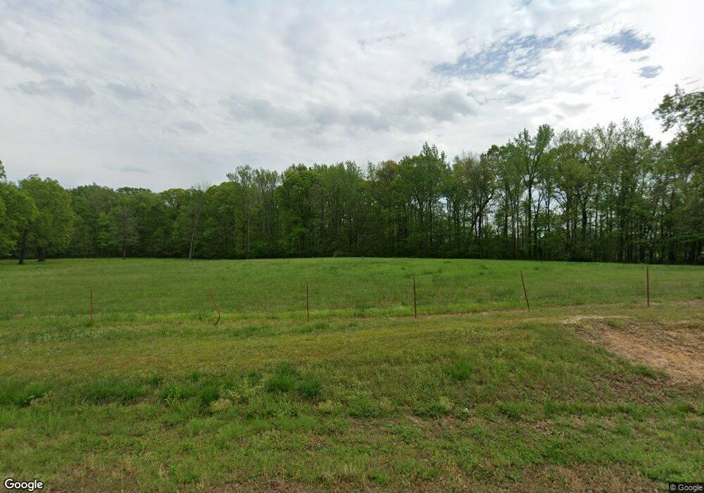
1048 Highway 124 Pangburn, AR 72121
Estimated Value: $56,913 - $274,000
--
Bed
--
Bath
1,448
Sq Ft
$114/Sq Ft
Est. Value
About This Home
This home is located at 1048 Highway 124, Pangburn, AR 72121 and is currently estimated at $164,478, approximately $113 per square foot. 1048 Highway 124 is a home with nearby schools including Pangburn Elementary School, Pangburn High School, and Mount Pleasant Baptist Academy.
Ownership History
Date
Name
Owned For
Owner Type
Purchase Details
Closed on
Feb 27, 2015
Bought by
Greene
Current Estimated Value
Purchase Details
Closed on
Mar 3, 2009
Sold by
Ashmore Robert Dale and Ashmore Dianna Lynn
Bought by
Ashmore Rodney and Ashmore Tammy L
Home Financials for this Owner
Home Financials are based on the most recent Mortgage that was taken out on this home.
Original Mortgage
$69,635
Interest Rate
4.92%
Mortgage Type
Stand Alone Refi Refinance Of Original Loan
Purchase Details
Closed on
Apr 28, 2000
Bought by
Greene Dennis M and Greene Joyce L
Purchase Details
Closed on
Feb 8, 1999
Bought by
Brock Johnny
Purchase Details
Closed on
Sep 1, 1987
Bought by
Hodge Jonathan J and Hodge Norma
Purchase Details
Closed on
Jul 2, 1979
Bought by
Hodge
Create a Home Valuation Report for This Property
The Home Valuation Report is an in-depth analysis detailing your home's value as well as a comparison with similar homes in the area
Home Values in the Area
Average Home Value in this Area
Purchase History
| Date | Buyer | Sale Price | Title Company |
|---|---|---|---|
| Greene | $25,000 | -- | |
| Ashmore Rodney | $65,000 | -- | |
| Greene Dennis M | $4,000,000 | -- | |
| Brock Johnny | $9,000 | -- | |
| Hodge Jonathan J | $1,000 | -- | |
| Hodge | -- | -- |
Source: Public Records
Mortgage History
| Date | Status | Borrower | Loan Amount |
|---|---|---|---|
| Previous Owner | Ashmore Rodney | $69,635 |
Source: Public Records
Tax History Compared to Growth
Tax History
| Year | Tax Paid | Tax Assessment Tax Assessment Total Assessment is a certain percentage of the fair market value that is determined by local assessors to be the total taxable value of land and additions on the property. | Land | Improvement |
|---|---|---|---|---|
| 2025 | $181 | $3,970 | $3,750 | $220 |
| 2024 | $181 | $3,970 | $3,750 | $220 |
| 2023 | $181 | $3,970 | $3,750 | $220 |
| 2022 | $181 | $3,970 | $3,750 | $220 |
| 2021 | $179 | $3,970 | $3,750 | $220 |
| 2020 | $162 | $3,570 | $3,350 | $220 |
| 2019 | $162 | $3,570 | $3,350 | $220 |
| 2018 | $162 | $3,570 | $3,350 | $220 |
| 2017 | $162 | $3,570 | $3,350 | $220 |
| 2016 | $162 | $3,570 | $3,350 | $220 |
| 2015 | $81 | $1,770 | $1,650 | $120 |
| 2014 | $695 | $15,270 | $1,650 | $13,620 |
Source: Public Records
Map
Nearby Homes
- 000 Old River Rd
- 8 Iveon Clay Rd
- 7 Iveon Clay Ln
- 57 Iveon Clay Ln
- 155 Cypress Shoals Dr
- 000 Little Red Mountain Rd
- 108 Adams Dr
- 000 Cypress Shoals Dr
- 109 Collins Ln
- 166 Schmelzer Ln
- 196 Schmelzer Ln
- Hwy 124 Highway 124
- 000 Summers Loop
- 000 Ray King Rd
- 280 Prince Reaper Rd
- 244 Crocker Ranch Rd
- 111 N Riverfront Trail
- 188 Summers Loop
- 2439 Fairview Rd
- 107 Little Red Mountain Rd
- 1091 Highway 124
- 137 Little Red Mountain Rd
- 682 Old River Rd
- 17AC Old River Rd
- 1096 Highway 124
- 14AC Old River Rd
- 0000 Old River Rd
- 00 Old River Rd
- 00 Old River Rd Unit Tract 2 - 7.5 acres
- 00 Old River Rd Unit Tract 1 - 7.5 acres
- 00 Old River Rd Unit 7 acres
- 00 Old River Rd Unit 22 acres
- 660 Old River Rd
- 175 Little Red Mountain Rd
- 180 Little Red Mountain Rd
- 120 Old River Rd
- 0 River Place Unit 15033182
- 202 Little Red Mountain Rd
- 113 River Place Dr
