1048 Lewis Grindle Rd Dahlonega, GA 30533
Estimated Value: $300,209 - $428,000
--
Bed
2
Baths
1,848
Sq Ft
$209/Sq Ft
Est. Value
About This Home
This home is located at 1048 Lewis Grindle Rd, Dahlonega, GA 30533 and is currently estimated at $386,802, approximately $209 per square foot. 1048 Lewis Grindle Rd is a home located in Lumpkin County with nearby schools including Lumpkin County High School.
Ownership History
Date
Name
Owned For
Owner Type
Purchase Details
Closed on
Apr 7, 2006
Sold by
Not Provided
Bought by
Hall Gene A
Current Estimated Value
Purchase Details
Closed on
Jun 14, 1988
Sold by
Maiole Doninic A
Bought by
Chastain William Fra
Purchase Details
Closed on
Nov 1, 1980
Bought by
Maiole Doninic A
Create a Home Valuation Report for This Property
The Home Valuation Report is an in-depth analysis detailing your home's value as well as a comparison with similar homes in the area
Home Values in the Area
Average Home Value in this Area
Purchase History
| Date | Buyer | Sale Price | Title Company |
|---|---|---|---|
| Hall Gene A | -- | -- | |
| Hall Gene A | $62,000 | -- | |
| Chastain William Fra | $10,800 | -- | |
| Maiole Doninic A | -- | -- |
Source: Public Records
Tax History Compared to Growth
Tax History
| Year | Tax Paid | Tax Assessment Tax Assessment Total Assessment is a certain percentage of the fair market value that is determined by local assessors to be the total taxable value of land and additions on the property. | Land | Improvement |
|---|---|---|---|---|
| 2024 | $1,885 | $80,132 | $25,584 | $54,548 |
| 2023 | $1,790 | $76,113 | $25,584 | $50,529 |
| 2022 | $1,623 | $65,546 | $25,584 | $39,962 |
| 2021 | $1,355 | $52,946 | $21,320 | $31,626 |
| 2020 | $1,371 | $51,966 | $21,320 | $30,646 |
| 2019 | $1,383 | $51,966 | $21,320 | $30,646 |
| 2018 | $1,370 | $48,302 | $21,320 | $26,982 |
| 2017 | $1,350 | $46,670 | $21,320 | $25,350 |
| 2016 | $1,264 | $42,260 | $21,320 | $20,940 |
| 2015 | $1,121 | $42,260 | $21,320 | $20,940 |
| 2014 | $1,121 | $42,516 | $21,320 | $21,196 |
| 2013 | -- | $42,786 | $21,320 | $21,466 |
Source: Public Records
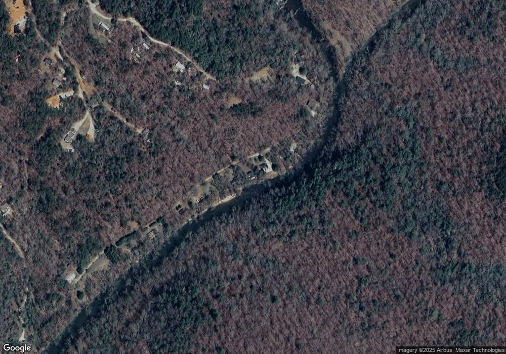
Map
Nearby Homes
- 45 Chestatee River Ridge
- 987 Peaceful Valley Dr
- 1063 Grindle Bridge Rd
- 499 Old Deer Path Way
- 0 Christy Ln Unit 10577382
- 31 Valhalla Dr
- 0 Waterfall Dr Unit 9 10472076
- 0 Valhalla Dr Unit 10621291
- 220 Foothills Dr
- 380 Copper Mill Rd
- 86.99 Acres Mincie Mountain
- 651 Hester Rd
- 3395 Asbury Mill Rd
- 55 Santa Pera Dr
- 349 Hester Rd
- 2832 Asbury Mill Rd
- 0 Hester Rd Unit 7591226
- 20.65 Acres Mincie Mountain
- 42.65 Acres Mincie Mountain
- 23.86 Acres Mincie Mountain
- 1026 Lewis Grindle Rd
- Lot 7A Lewis Grindle Rd
- 1155 Lewis Grindle Rd
- 1195 Lewis Grindle Rd
- 851 Lewis Grindle Rd
- 343 Hollybrook Rd
- 93 Hollybrook Rd
- 797 Lewis Grindle Rd
- 7 Uncle Ab Rd
- 308 Hollybrook Rd
- 292 Hollybrook Rd
- 0 Hollybrook Rd
- 0 Hollybrook Rd Unit 8225683
- 0 Hollybrook Rd Unit 3152491
- 0 Hollybrook Rd Unit 7587416
- 0 Hollybrook Rd Unit 7473395
- 0 Hollybrook Rd Unit 7277829
- 0 Hollybrook Rd Unit 6752710
- 0 Hollybrook Rd Unit Lot 25 8822123
- 0 Hollybrook Rd Unit Lot 78 8747872