1048 S Elm St Marshfield, MO 65706
Estimated Value: $44,000 - $271,000
Studio
--
Bath
2,083
Sq Ft
$86/Sq Ft
Est. Value
About This Home
This home is located at 1048 S Elm St, Marshfield, MO 65706 and is currently estimated at $178,674, approximately $85 per square foot. 1048 S Elm St is a home with nearby schools including Edwin P. Hubble Elementary School, Shook Elementary School, and Daniel Webster Elementary School.
Ownership History
Date
Name
Owned For
Owner Type
Purchase Details
Closed on
Dec 20, 2024
Sold by
Hunt Revocable Living Trust and Hunt Robert G
Bought by
Johnson Alvin O and Johnson Latricia J
Current Estimated Value
Home Financials for this Owner
Home Financials are based on the most recent Mortgage that was taken out on this home.
Original Mortgage
$42,000
Outstanding Balance
$41,484
Interest Rate
6.84%
Mortgage Type
Credit Line Revolving
Estimated Equity
$137,190
Create a Home Valuation Report for This Property
The Home Valuation Report is an in-depth analysis detailing your home's value as well as a comparison with similar homes in the area
Home Values in the Area
Average Home Value in this Area
Purchase History
| Date | Buyer | Sale Price | Title Company |
|---|---|---|---|
| Johnson Alvin O | -- | None Listed On Document | |
| Johnson Alvin O | -- | None Listed On Document | |
| Johnson Alvin O | -- | None Listed On Document |
Source: Public Records
Mortgage History
| Date | Status | Borrower | Loan Amount |
|---|---|---|---|
| Open | Johnson Alvin O | $42,000 | |
| Closed | Johnson Alvin O | $42,000 |
Source: Public Records
Tax History
| Year | Tax Paid | Tax Assessment Tax Assessment Total Assessment is a certain percentage of the fair market value that is determined by local assessors to be the total taxable value of land and additions on the property. | Land | Improvement |
|---|---|---|---|---|
| 2025 | $978 | $1,240 | $0 | $0 |
| 2024 | $978 | $18,850 | $0 | $0 |
| 2023 | $948 | $18,850 | $0 | $0 |
| 2022 | $949 | $18,850 | $0 | $0 |
| 2021 | $949 | $18,850 | $0 | $0 |
| 2020 | $847 | $17,270 | $0 | $0 |
| 2019 | $847 | $17,270 | $0 | $0 |
| 2018 | $848 | $17,270 | $0 | $0 |
| 2017 | $754 | $17,270 | $0 | $0 |
| 2016 | $674 | $15,310 | $0 | $0 |
| 2015 | $693 | $15,310 | $0 | $0 |
| 2012 | -- | $15,750 | $0 | $0 |
Source: Public Records
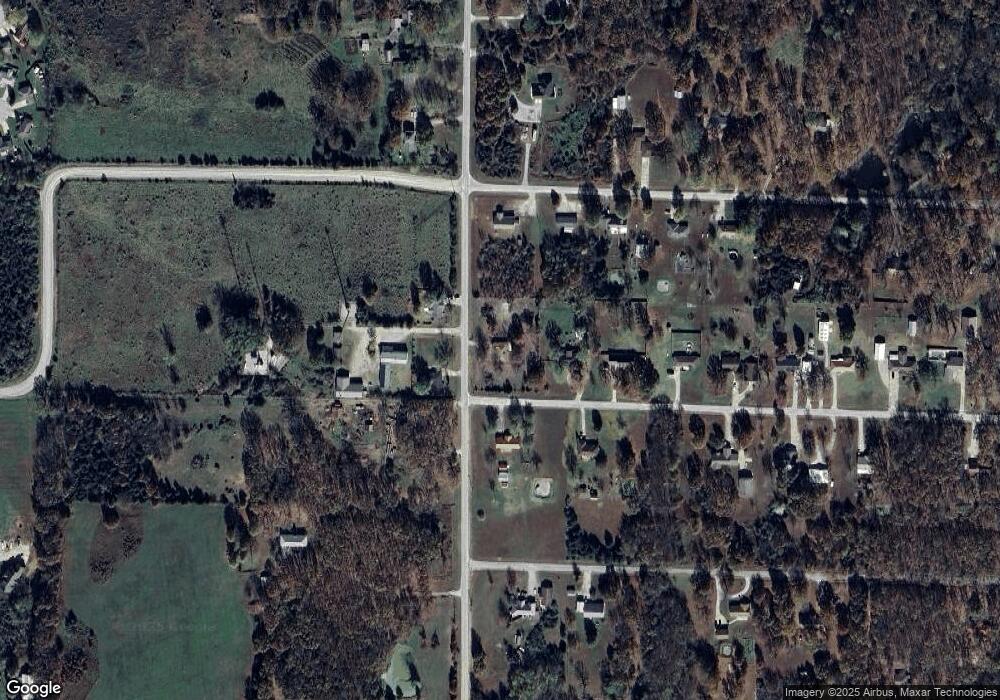
Map
Nearby Homes
- 964 Joann St
- 529 E Mcvay St
- 508 S Walnut St
- 252 Elizabeth St
- 520 S Pine St
- 256 E 2nd St
- Tbd S Marshall St
- 252 Commercial St
- 438 E Madison St
- 112 N Vine St
- 705 E Washington St
- 314 E Jackson St
- 529 S Clay St
- 259 E Jefferson St
- Tbd Commerce Rd
- 770 Aspen St
- 000 Commerce Rd
- 824 E Burford St
- 720 E Burford St
- 765 Aspen St
- 923 Brentwood Dr
- 1057 S Elm St
- 1035 S Elm St
- 910 Brentwood Dr
- 941 Brentwood Dr
- 928 Brentwood Dr
- 940 Cedarbrook
- 67 Ferguson Dr
- 950 Cedarbrook
- 1113 S Elm Rd
- 961 Brentwood Dr
- 962 Cedarbrook
- 999 S Elm St
- 975 Brentwood Dr
- 972 Brentwood Dr
- 953 Cedarbrook
- 910 Roanoke Ln
- 976 Cedarbrook
- 930 Roanoke Ln
- 0000 Cedarbrook
Your Personal Tour Guide
Ask me questions while you tour the home.