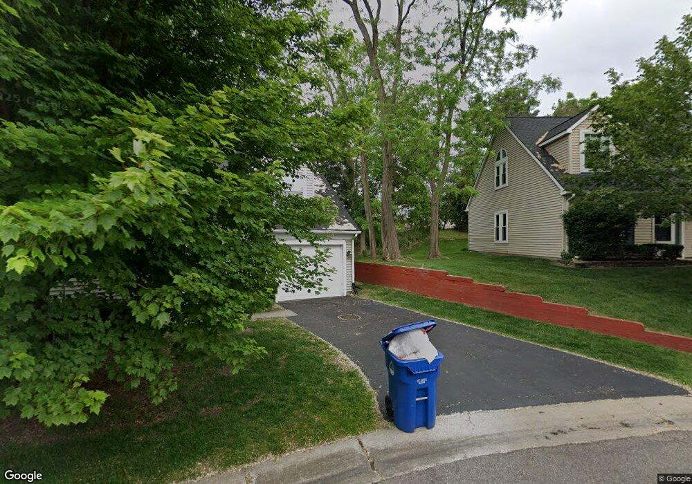
1048 Sandpiper Dr Waterford, MI 48328
Waterford Township NeighborhoodEstimated Value: $283,000 - $298,000
2
Beds
2
Baths
1,836
Sq Ft
$158/Sq Ft
Est. Value
About This Home
This home is located at 1048 Sandpiper Dr, Waterford, MI 48328 and is currently estimated at $290,566, approximately $158 per square foot. 1048 Sandpiper Dr is a home located in Oakland County with nearby schools including Donelson Hills Elementary School, Mason Middle School, and Waterford Mott High School.
Ownership History
Date
Name
Owned For
Owner Type
Purchase Details
Closed on
Oct 31, 2001
Sold by
Gabbard-Kaltenb Glenda C
Bought by
Rocquemore-Ariza Lisa
Current Estimated Value
Purchase Details
Closed on
Nov 30, 1995
Sold by
Boddy Daniel E
Bought by
Gabbard Glenda C
Home Financials for this Owner
Home Financials are based on the most recent Mortgage that was taken out on this home.
Original Mortgage
$91,900
Interest Rate
7.45%
Create a Home Valuation Report for This Property
The Home Valuation Report is an in-depth analysis detailing your home's value as well as a comparison with similar homes in the area
Home Values in the Area
Average Home Value in this Area
Purchase History
| Date | Buyer | Sale Price | Title Company |
|---|---|---|---|
| Rocquemore-Ariza Lisa | $149,900 | -- | |
| Gabbard Glenda C | $114,900 | -- |
Source: Public Records
Mortgage History
| Date | Status | Borrower | Loan Amount |
|---|---|---|---|
| Previous Owner | Gabbard Glenda C | $91,900 | |
| Closed | Rocquemore-Ariza Lisa | -- |
Source: Public Records
Tax History Compared to Growth
Tax History
| Year | Tax Paid | Tax Assessment Tax Assessment Total Assessment is a certain percentage of the fair market value that is determined by local assessors to be the total taxable value of land and additions on the property. | Land | Improvement |
|---|---|---|---|---|
| 2024 | $1,094 | $113,010 | $0 | $0 |
| 2023 | $1,043 | $105,480 | $0 | $0 |
| 2022 | $1,680 | $97,660 | $0 | $0 |
| 2021 | $1,589 | $93,600 | $0 | $0 |
| 2020 | $955 | $86,120 | $0 | $0 |
| 2019 | $1,556 | $82,020 | $0 | $0 |
| 2018 | $1,542 | $75,710 | $0 | $0 |
| 2017 | $1,417 | $75,710 | $0 | $0 |
| 2016 | $1,415 | $68,210 | $0 | $0 |
| 2015 | -- | $55,860 | $0 | $0 |
| 2014 | -- | $44,150 | $0 | $0 |
| 2011 | -- | $45,740 | $0 | $0 |
Source: Public Records
Map
Nearby Homes
- 3313 Harbours Blvd
- 000 Cass Lake Rd
- 3559 Port Cove Dr Unit 25
- 3559 Port Cove Dr Unit 17
- 3630 Cass Elizabeth Rd
- 1330 Bamford Dr
- 1384 Rossdale Dr
- 1389 S Cass Lake Rd
- 1390 Bamford Dr
- 1035 Wyman Dr
- 1095 Wyman Dr
- 3891 Oak Knoll Rd
- 603 Woodingham Ave
- 433 Hogarth St
- 425 Hogarth St
- 424 Hogarth St
- The Dover Plan at Hogarth
- The Dawson Plan at Hogarth
- The Concord Plan at Hogarth
- The Everest Plan at Hogarth
- 3423 Audubon Ct
- 3423 Audubon Ct
- 3423 Audubon Ct Unit 33
- 1032 Sandpiper Dr Unit 19
- 1025 Audubon Dr
- 1045 Sandpiper Dr
- 1033 Audubon Dr
- 1093 Audubon Dr
- 3405 Audubon Ct
- 1117 Audubon Dr Unit 30
- 1103 Audubon Dr Unit 28
- 1093 Audubon Dr
- 1085 Audubon Dr Unit 26
- 1045 Sandpiper Dr
- 1033 Sandpiper Dr
- 1058 Audubon Dr
- 1034 Audubon Dr
- 1024 Audubon Dr
- 1143 Audubon Dr Unit 38
- 1135 Audubon Dr