1048 Sharpless Mine Rd Swanton, MD 21561
Estimated Value: $171,000 - $249,180
--
Bed
1
Bath
1,320
Sq Ft
$160/Sq Ft
Est. Value
About This Home
This home is located at 1048 Sharpless Mine Rd, Swanton, MD 21561 and is currently estimated at $211,393, approximately $160 per square foot. 1048 Sharpless Mine Rd is a home located in Garrett County with nearby schools including Broad Ford Elementary School, Southern Middle School, and Southern Garrett High School.
Ownership History
Date
Name
Owned For
Owner Type
Purchase Details
Closed on
Jul 27, 2022
Sold by
Taylor Darlene F
Bought by
Taylor Timothy E and Taylor Elizabeth C
Current Estimated Value
Purchase Details
Closed on
Jul 21, 2022
Sold by
Taylor Darlene F
Bought by
Taylor Darlene F
Purchase Details
Closed on
Oct 17, 2011
Sold by
Taylor Darlene F
Bought by
Evans Wilbur
Purchase Details
Closed on
Oct 7, 2011
Sold by
Evans Wilbur L and Taylor Darlene F
Bought by
Evans Wilbur L
Purchase Details
Closed on
Mar 20, 1995
Sold by
Evans Wilbur L and Evans Hazel V
Bought by
Taylor Darlene F
Create a Home Valuation Report for This Property
The Home Valuation Report is an in-depth analysis detailing your home's value as well as a comparison with similar homes in the area
Home Values in the Area
Average Home Value in this Area
Purchase History
| Date | Buyer | Sale Price | Title Company |
|---|---|---|---|
| Taylor Timothy E | -- | Mattingly Amanda D | |
| Taylor Timothy E | -- | Mattingly Amanda D | |
| Taylor Darlene F | -- | Mattingly Amanda D | |
| Taylor Darlene F | -- | Mattingly Amanda D | |
| Evans Wilbur | -- | -- | |
| Evans Wilbur L | -- | None Available | |
| Evans Wilbur | -- | -- | |
| Taylor Darlene F | -- | -- |
Source: Public Records
Tax History Compared to Growth
Tax History
| Year | Tax Paid | Tax Assessment Tax Assessment Total Assessment is a certain percentage of the fair market value that is determined by local assessors to be the total taxable value of land and additions on the property. | Land | Improvement |
|---|---|---|---|---|
| 2025 | $1,197 | $104,300 | $0 | $0 |
| 2024 | $1,195 | $97,200 | $27,600 | $69,600 |
| 2023 | $1,166 | $94,667 | $0 | $0 |
| 2022 | $1,136 | $92,133 | $0 | $0 |
| 2021 | $762 | $89,600 | $27,600 | $62,000 |
| 2020 | $678 | $87,033 | $0 | $0 |
| 2019 | $668 | $84,467 | $0 | $0 |
| 2018 | $668 | $81,900 | $27,600 | $54,300 |
| 2017 | $903 | $81,900 | $0 | $0 |
| 2016 | -- | $81,833 | $0 | $0 |
| 2015 | -- | $81,800 | $0 | $0 |
| 2014 | -- | $81,800 | $0 | $0 |
Source: Public Records
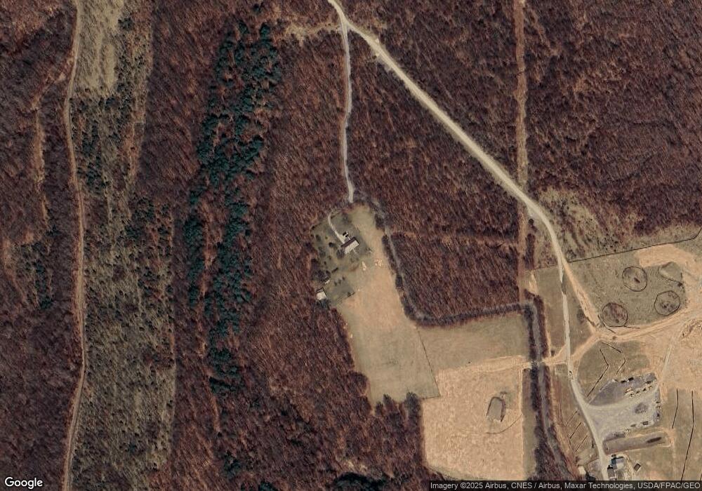
Map
Nearby Homes
- 3484 Kitzmiller Rd
- 3601 Swanton Rd
- TBD Upper Green Glade Rd
- 1055 Old Wilson Rd
- 2043 Green Glade Rd
- 0 Green Glade Rd Unit MDGA2010316
- 807 Green Glade Rd
- 0 Hazelhurst Rd Unit C MDGA2009820
- 0 Hazelhurst Rd Unit B MDGA2009814
- 16652 Maryland Hwy
- 907 Hazelhurst Rd Unit A
- 32 Hazelhurst Ln
- 249 Hazelhurst Rd
- 468 Pritts Rd
- 0 Sears Ln Unit MDGA2009994
- 167 Sears Ln
- 0 Crows Point Rd
- 0 Abrams Creek - Oakmont Wv Unit WVMI2000826
- 95 Frederick Cir
- 0 Shadyside Rd Unit WVMI2003702
- 1429 Sharpless Mine Rd
- 100 ACRES Sharpless Mine Rd
- 1553 Sharpless Mine Rd
- 1054 Mount Zion Rd
- 1730 Mount Zion Rd
- 1324 Mount Zion Rd
- 1138 Mount Zion Rd
- 1652 Mount Zion Rd
- 252 Sharpless Mine Rd
- 1720 Mount Zion Rd
- 1836 Mount Zion Rd
- 1088 Mount Zion Rd
- 1802 Mount Zion Rd
- 1038 Mount Zion Rd
- 1411 Mount Zion Rd
- 1548 Mount Zion Rd
- 1903 Mount Zion Rd
- 1945 Mount Zion Rd
- 1025 Mount Zion Rd
- 1970 Mount Zion Rd