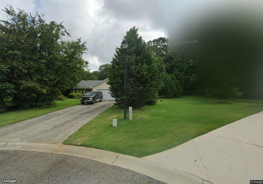
1048 Tia Dr Bethlehem, GA 30620
Estimated Value: $291,876 - $317,000
--
Bed
2
Baths
1,428
Sq Ft
$214/Sq Ft
Est. Value
About This Home
This home is located at 1048 Tia Dr, Bethlehem, GA 30620 and is currently estimated at $305,719, approximately $214 per square foot. 1048 Tia Dr is a home located in Barrow County with nearby schools including Bethlehem Elementary School, Haymon-Morris Middle School, and Apalachee High School.
Ownership History
Date
Name
Owned For
Owner Type
Purchase Details
Closed on
Jul 27, 2007
Sold by
Southfork Hms Inc
Bought by
Wray Christopher M
Current Estimated Value
Home Financials for this Owner
Home Financials are based on the most recent Mortgage that was taken out on this home.
Original Mortgage
$131,580
Outstanding Balance
$83,267
Interest Rate
6.65%
Mortgage Type
New Conventional
Estimated Equity
$222,452
Purchase Details
Closed on
Jan 27, 2006
Sold by
Sjc Developers Llc
Bought by
Tia Estate Developers Llc
Create a Home Valuation Report for This Property
The Home Valuation Report is an in-depth analysis detailing your home's value as well as a comparison with similar homes in the area
Home Values in the Area
Average Home Value in this Area
Purchase History
| Date | Buyer | Sale Price | Title Company |
|---|---|---|---|
| Wray Christopher M | $123,900 | -- | |
| Tia Estate Developers Llc | $474,000 | -- |
Source: Public Records
Mortgage History
| Date | Status | Borrower | Loan Amount |
|---|---|---|---|
| Open | Wray Christopher M | $131,580 |
Source: Public Records
Tax History Compared to Growth
Tax History
| Year | Tax Paid | Tax Assessment Tax Assessment Total Assessment is a certain percentage of the fair market value that is determined by local assessors to be the total taxable value of land and additions on the property. | Land | Improvement |
|---|---|---|---|---|
| 2024 | $2,148 | $94,998 | $20,000 | $74,998 |
| 2023 | $1,735 | $95,398 | $20,000 | $75,398 |
| 2022 | $1,775 | $65,167 | $12,320 | $52,847 |
| 2021 | $1,848 | $65,167 | $12,320 | $52,847 |
| 2020 | $1,853 | $65,167 | $12,320 | $52,847 |
| 2019 | $1,680 | $56,555 | $11,200 | $45,355 |
| 2018 | $1,655 | $56,555 | $11,200 | $45,355 |
| 2017 | $1,311 | $45,022 | $10,000 | $35,022 |
| 2016 | $1,146 | $39,565 | $10,000 | $29,565 |
| 2015 | $1,161 | $39,878 | $10,000 | $29,878 |
| 2014 | $1,112 | $38,032 | $7,840 | $30,192 |
| 2013 | -- | $36,238 | $7,840 | $28,398 |
Source: Public Records
Map
Nearby Homes
- 1050 Bethlehem Church Rd
- 164 Manning Gin Rd
- 303 Carly Ct
- 966 David Ave
- 784 Manger Ave
- 0 Manger Ave E Unit 20154677
- 0 Manger Ave E Unit 20127001
- 724 Manger Ave
- 0 McElhannon Rd SW Unit 10581793
- 1235 Dale Dr
- 898 Harrison Mill Rd
- 1408 Wyndham Way
- 797 Ode Peppers Rd
- 449 & 455 Carl-Bethlehem Rd
- 182 Nativity Cove
- 259 Dunagan Ct
- 378 Dunagan Ct
- 0 Harrison Mill Rd Unit 10522698
- 328 Advent Dr
- 0 Monroe Hwy Unit 10466108
- 1046 Tia Dr
- 1047 Tia Dr
- 1044 Tia Dr
- 1045 Tia Dr
- 1043 Tia Dr
- 1042 Tia Dr
- 1039 Tia Dr
- 204 Tia Ct
- 0 Tia Dr Unit 7526979
- 0 Tia Dr Unit 7465182
- 0 Tia Dr Unit 7596045
- 1038 Tia Dr
- 0 Tia Ct Unit 8728525
- 0 Tia Ct Unit 9005174
- 0 Tia Ct Unit 7021951
- 0 Tia Ct
- 1004 Bethlehem Church Rd
- 206 Tia Ct
- 1036 Tia Dr
- 1024 Bethlehem Church Rd