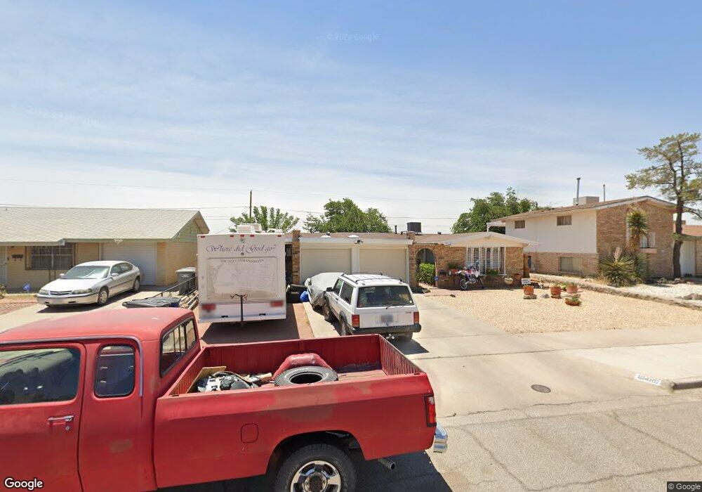
10480 Seawood Dr El Paso, TX 79925
Travis White NeighborhoodEstimated Value: $238,000 - $252,000
4
Beds
3
Baths
1,723
Sq Ft
$141/Sq Ft
Est. Value
About This Home
This home is located at 10480 Seawood Dr, El Paso, TX 79925 and is currently estimated at $242,821, approximately $140 per square foot. 10480 Seawood Dr is a home located in El Paso County with nearby schools including Eastwood Heights Elementary School, Eastwood High School, and St. Raphael School.
Ownership History
Date
Name
Owned For
Owner Type
Purchase Details
Closed on
Aug 17, 2009
Sold by
Santana Terry and Von Twistern Terry
Bought by
Uyarra Marcelino Daniel and Uyarra Cristina
Current Estimated Value
Home Financials for this Owner
Home Financials are based on the most recent Mortgage that was taken out on this home.
Original Mortgage
$132,554
Outstanding Balance
$86,338
Interest Rate
5.19%
Mortgage Type
FHA
Estimated Equity
$156,483
Purchase Details
Closed on
Sep 26, 1997
Sold by
Bridges Michael K
Bought by
Santana Terry
Home Financials for this Owner
Home Financials are based on the most recent Mortgage that was taken out on this home.
Original Mortgage
$69,850
Interest Rate
7.49%
Mortgage Type
FHA
Create a Home Valuation Report for This Property
The Home Valuation Report is an in-depth analysis detailing your home's value as well as a comparison with similar homes in the area
Home Values in the Area
Average Home Value in this Area
Purchase History
| Date | Buyer | Sale Price | Title Company |
|---|---|---|---|
| Uyarra Marcelino Daniel | -- | St | |
| Santana Terry | -- | -- |
Source: Public Records
Mortgage History
| Date | Status | Borrower | Loan Amount |
|---|---|---|---|
| Open | Uyarra Marcelino Daniel | $132,554 | |
| Previous Owner | Santana Terry | $69,850 |
Source: Public Records
Tax History Compared to Growth
Tax History
| Year | Tax Paid | Tax Assessment Tax Assessment Total Assessment is a certain percentage of the fair market value that is determined by local assessors to be the total taxable value of land and additions on the property. | Land | Improvement |
|---|---|---|---|---|
| 2025 | $3,477 | $213,168 | -- | -- |
| 2024 | $3,477 | $193,789 | -- | -- |
| 2023 | $3,215 | $176,172 | $0 | $0 |
| 2022 | $4,973 | $160,156 | $0 | $0 |
| 2021 | $4,733 | $150,915 | $21,971 | $128,944 |
| 2020 | $4,181 | $132,360 | $16,901 | $115,459 |
| 2018 | $4,083 | $131,287 | $16,901 | $114,386 |
| 2017 | $4,042 | $132,237 | $16,901 | $115,336 |
| 2016 | $4,042 | $132,237 | $16,901 | $115,336 |
| 2015 | $2,905 | $132,237 | $16,901 | $115,336 |
| 2014 | $2,905 | $122,306 | $16,901 | $105,405 |
Source: Public Records
Map
Nearby Homes
- 10481 Deepwood Ct
- 7936 Dogwood St
- 10412 Chinaberry Dr
- 10533 Springwood Dr
- 10617 Candlewood Ave
- 7921 Candlewood Ave
- 10463 Davwood Ln
- 10212 Garwood Ct
- 1207 Bois d Arc Dr
- 10844 Sombra Verde Dr
- 10233 Byway Dr
- 10313 Byway Dr
- 1909 Crow Dr
- 9801 Eastridge Dr
- 1649 Lomaland Dr
- 7922 Parral Dr
- 740 Draco Place
- 7761 Maverick Ave
- 7832 Ranchland Dr
- 10304 Woodruff Ct
- 10476 Seawood Dr
- 10484 Seawood Dr
- 10484 Seawood Dr Unit 1
- 10485 Deepwood Ct
- 10472 Seawood Dr
- 10481 Seawood Dr
- 10477 Deepwood Ct
- 10485 Seawood Dr
- 10477 Seawood Dr
- 10468 Seawood Dr
- 10492 Seawood Dr
- 10489 Seawood Dr
- 10473 Seawood Dr
- 10493 Deepwood Ct
- 10473 Deepwood Ct
- 10464 Seawood Dr
- 10469 Seawood Dr
- 10493 Seawood Dr
- 10480 Chinaberry Dr
- 10484 Chinaberry Dr