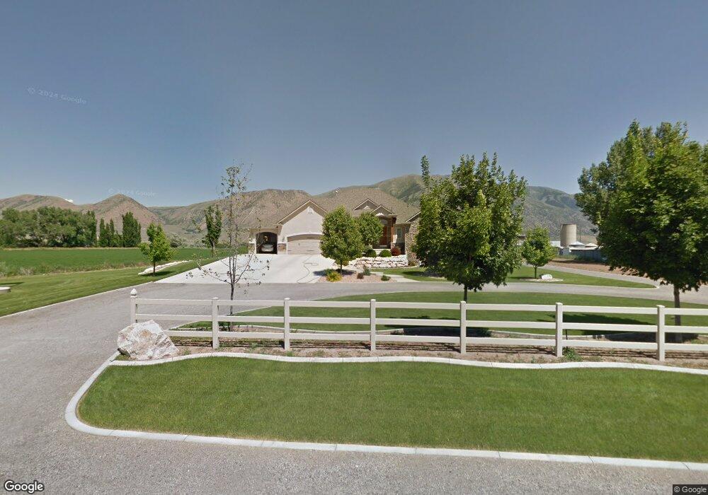
10488 N 4400 W Tremonton, UT 84337
Estimated Value: $744,000
3
Beds
3
Baths
4,938
Sq Ft
$151/Sq Ft
Est. Value
About This Home
This home is located at 10488 N 4400 W, Tremonton, UT 84337 and is currently priced at $744,000, approximately $150 per square foot. 10488 N 4400 W is a home located in Box Elder County with nearby schools including McKinley School, Bear River Middle School, and Alice C. Harris Intermediate School.
Ownership History
Date
Name
Owned For
Owner Type
Purchase Details
Closed on
Mar 31, 2017
Sold by
Lay Mark S and Lay Frances O
Bought by
Lay Mark S and Lay Frances O
Current Estimated Value
Purchase Details
Closed on
Oct 6, 2015
Sold by
Lay Mark Stephen Fisher
Bought by
Lay Mark S and Lay Frances O
Home Financials for this Owner
Home Financials are based on the most recent Mortgage that was taken out on this home.
Original Mortgage
$300,800
Outstanding Balance
$235,860
Interest Rate
3.78%
Mortgage Type
New Conventional
Create a Home Valuation Report for This Property
The Home Valuation Report is an in-depth analysis detailing your home's value as well as a comparison with similar homes in the area
Home Values in the Area
Average Home Value in this Area
Purchase History
| Date | Buyer | Sale Price | Title Company |
|---|---|---|---|
| Lay Mark S | -- | None Available | |
| Lay Mark S | -- | Stewart Title Insurance Agen | |
| Lay Mark Stephen Fisher | -- | Advanced Title |
Source: Public Records
Mortgage History
| Date | Status | Borrower | Loan Amount |
|---|---|---|---|
| Open | Lay Mark Stephen Fisher | $300,800 |
Source: Public Records
Tax History Compared to Growth
Tax History
| Year | Tax Paid | Tax Assessment Tax Assessment Total Assessment is a certain percentage of the fair market value that is determined by local assessors to be the total taxable value of land and additions on the property. | Land | Improvement |
|---|---|---|---|---|
| 2023 | $4,186 | $917,379 | $135,000 | $782,379 |
| 2022 | $4,186 | $465,999 | $26,675 | $439,324 |
| 2021 | $3,654 | $610,163 | $48,500 | $561,663 |
| 2020 | $3,521 | $610,163 | $48,500 | $561,663 |
| 2019 | $2,745 | $247,948 | $26,675 | $221,273 |
| 2018 | $2,931 | $247,948 | $26,675 | $221,273 |
| 2017 | $3,036 | $0 | $0 | $0 |
| 2016 | $2,533 | $201,343 | $26,675 | $174,668 |
| 2015 | $2,281 | $185,464 | $26,675 | $158,789 |
| 2014 | $2,281 | $177,902 | $26,675 | $151,227 |
| 2013 | -- | $177,902 | $26,675 | $151,227 |
Source: Public Records
Map
Nearby Homes
- 4693 W 9120 N
- 9449 N Powerline Rd Unit 2
- 10135 N Highway 38
- 137 N 870 W Unit 28
- 839 E 180 N Unit 30
- 4979 W 12000 N
- 11990 N 4800 W
- 9605 N Highway 38
- 11560 N 3400 W
- 9835 N Highway 38 Unit 11
- 9791 N Highway 38 Unit 10
- 9743 N Highway 38 Unit 8
- Auburn Plan at River's Edge - Tremonton
- Aberdeen Plan at River's Edge - Tremonton
- Glendale Plan at River's Edge - Tremonton
- Lyndhurst Plan at River's Edge - Tremonton
- Sumac Plan at River's Edge - Tremonton
- Redwood Plan at River's Edge - Tremonton
- Summerlyn Plan at River's Edge - Tremonton
- Fairview Plan at River's Edge - Tremonton