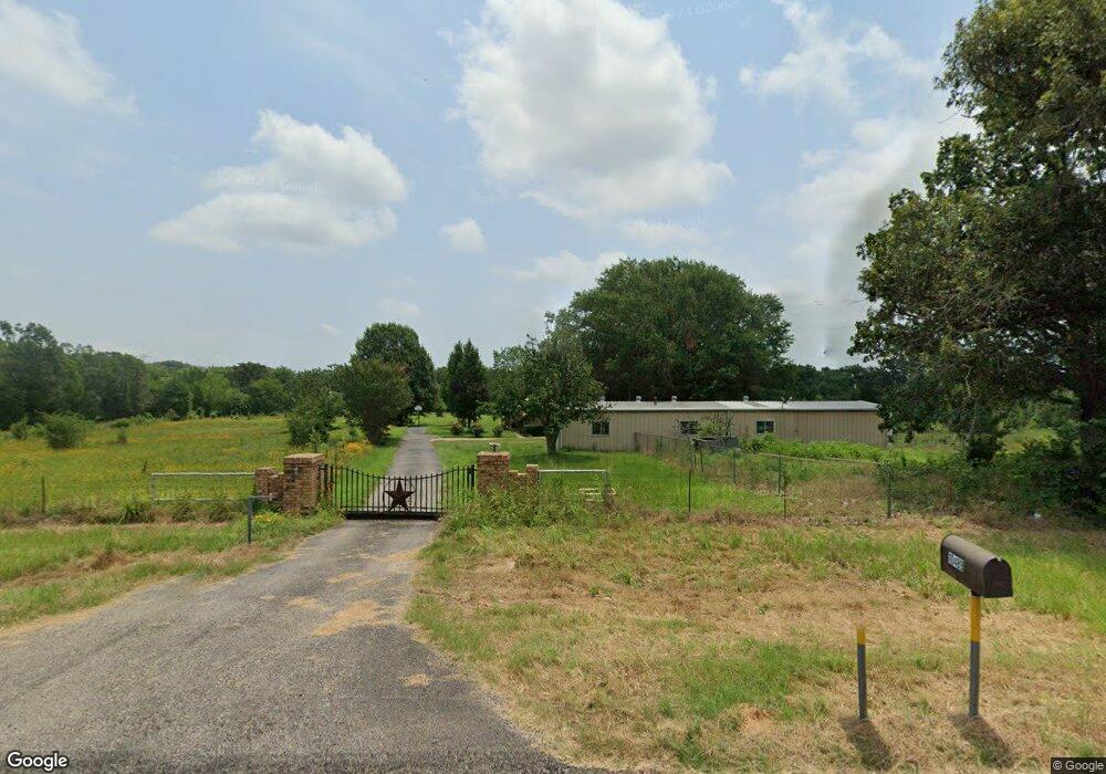
10489 Fm 59 Athens (Area), TX 75752
Estimated Value: $421,000 - $598,641
3
Beds
2
Baths
2,432
Sq Ft
$209/Sq Ft
Est. Value
About This Home
This home is located at 10489 Fm 59, Athens (Area), TX 75752 and is currently estimated at $507,880, approximately $208 per square foot. 10489 Fm 59 is a home located in Henderson County with nearby schools including Cross Roads J High School and Cross Roads High School.
Ownership History
Date
Name
Owned For
Owner Type
Purchase Details
Closed on
Mar 12, 2024
Sold by
Carder Jackie Doyles
Bought by
Carder Jackie Doyles
Current Estimated Value
Purchase Details
Closed on
Nov 4, 2015
Sold by
Youngman Cody and Youngman Laura
Bought by
Carder Linda
Purchase Details
Closed on
Aug 15, 2014
Sold by
Thomas Jason Dewitt
Bought by
Carder Linda
Purchase Details
Closed on
Jan 17, 2012
Sold by
Thomas Jason and Thomas Kerri
Bought by
Carder Linda
Home Financials for this Owner
Home Financials are based on the most recent Mortgage that was taken out on this home.
Original Mortgage
$12,000
Interest Rate
3.95%
Mortgage Type
Purchase Money Mortgage
Purchase Details
Closed on
Sep 30, 2005
Sold by
Tanner John H
Bought by
Carder Linda
Create a Home Valuation Report for This Property
The Home Valuation Report is an in-depth analysis detailing your home's value as well as a comparison with similar homes in the area
Home Values in the Area
Average Home Value in this Area
Purchase History
| Date | Buyer | Sale Price | Title Company |
|---|---|---|---|
| Carder Jackie Doyles | -- | None Listed On Document | |
| Carder Linda | -- | Trinity Valley Title Company | |
| Carder Linda | -- | -- | |
| Carder Linda | -- | -- | |
| Thomas Jason Dewitt | -- | None Available | |
| Carder Linda | -- | -- |
Source: Public Records
Mortgage History
| Date | Status | Borrower | Loan Amount |
|---|---|---|---|
| Previous Owner | Thomas Jason Dewitt | $12,000 |
Source: Public Records
Tax History Compared to Growth
Tax History
| Year | Tax Paid | Tax Assessment Tax Assessment Total Assessment is a certain percentage of the fair market value that is determined by local assessors to be the total taxable value of land and additions on the property. | Land | Improvement |
|---|---|---|---|---|
| 2025 | $1,458 | $356,194 | -- | -- |
| 2024 | $1,458 | $323,813 | $0 | $0 |
| 2023 | $2,173 | $394,189 | $0 | $0 |
| 2022 | $4,546 | $486,750 | $109,440 | $377,310 |
| 2021 | $4,452 | $270,760 | $5,950 | $264,810 |
| 2020 | $3,984 | $250,060 | $5,950 | $244,110 |
| 2019 | $3,896 | $201,770 | $5,850 | $195,920 |
| 2018 | $2,955 | $189,150 | $4,590 | $184,560 |
| 2017 | $3,208 | $184,440 | $3,500 | $180,940 |
| 2016 | $3,478 | $184,440 | $3,500 | $180,940 |
| 2015 | $3,288 | $184,440 | $3,500 | $180,940 |
| 2014 | $1,900 | $130,350 | $3,500 | $126,850 |
Source: Public Records
Map
Nearby Homes
- 910 Sycamore St
- 908 Sycamore St
- 11250 Fm 59
- 8419 County Road 1213
- 0 Private Road 5204
- 000 Private Road 5204
- 11567 Fm 59
- TBD Cr-1200
- 8970 Fm 59
- 0 Tr 3 Cr 41514
- 12401 County Road 1113
- 12469 County Road 1114
- 12126 Fm 59
- 0 Tbd Cr 41514
- 0 Hwy 175 E Unit 24758232
- 0 Hwy 175 E Unit 20888897
- 12646 Private Road 5104
- Lot #9 Private Road 5210
- TR 4 Cr 41514
- 1081 Pearl Harbor St
- 10489 Fm 59
- 10494 Fm 59
- 10600 Fm 59
- 10458 Fm 59
- 10644 Fm 59
- 10696 Fm 59
- 10192 Fm 59
- 10455 Fm 59
- 7300 Private Road 5101
- 10591 County Road 1216
- 10700 County Road 1216
- 10017 Fm 59
- 7486 Private Road 5102
- 10004 Fm 59
- 7464 Private Road 5102
- 7446 7446 Pr 5102
- 7446 Private Road 5102
- 9969 Highway 59
- 7475 Private Road 5101
- 7475 Private Road 5101