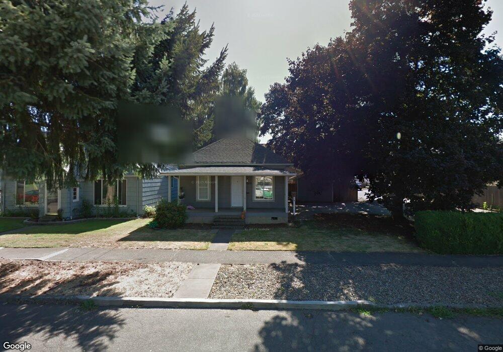
1049 Grove St Lebanon, OR 97355
Estimated Value: $288,000 - $327,319
2
Beds
2
Baths
1,080
Sq Ft
$285/Sq Ft
Est. Value
About This Home
This home is located at 1049 Grove St, Lebanon, OR 97355 and is currently estimated at $307,660, approximately $284 per square foot. 1049 Grove St is a home located in Linn County with nearby schools including Pioneer School, Seven Oak Middle School, and Lebanon High School.
Ownership History
Date
Name
Owned For
Owner Type
Purchase Details
Closed on
Jun 3, 2019
Sold by
Hoiseth John Kevin
Bought by
Young Brady E L and Young Donald R
Current Estimated Value
Home Financials for this Owner
Home Financials are based on the most recent Mortgage that was taken out on this home.
Original Mortgage
$132,000
Outstanding Balance
$116,293
Interest Rate
4.2%
Mortgage Type
New Conventional
Estimated Equity
$191,367
Purchase Details
Closed on
Apr 20, 2007
Sold by
Vk Land Development Llc
Bought by
Hoiseth John Kevin
Purchase Details
Closed on
Apr 13, 2007
Sold by
1049 Grove Street Trust and Kimball Bryan P
Bought by
Vk Land Development Llc
Create a Home Valuation Report for This Property
The Home Valuation Report is an in-depth analysis detailing your home's value as well as a comparison with similar homes in the area
Home Values in the Area
Average Home Value in this Area
Purchase History
| Date | Buyer | Sale Price | Title Company |
|---|---|---|---|
| Young Brady E L | $165,000 | Ticor Title Company Of Or | |
| Hoiseth John Kevin | $50,000 | Lawyers Title Insurance Corp | |
| Vk Land Development Llc | $125,000 | Amerititle |
Source: Public Records
Mortgage History
| Date | Status | Borrower | Loan Amount |
|---|---|---|---|
| Open | Young Brady E L | $132,000 |
Source: Public Records
Tax History Compared to Growth
Tax History
| Year | Tax Paid | Tax Assessment Tax Assessment Total Assessment is a certain percentage of the fair market value that is determined by local assessors to be the total taxable value of land and additions on the property. | Land | Improvement |
|---|---|---|---|---|
| 2024 | $2,529 | $120,340 | -- | -- |
| 2023 | $2,447 | $116,840 | $0 | $0 |
| 2022 | $2,396 | $113,440 | $0 | $0 |
| 2021 | $2,310 | $110,140 | $0 | $0 |
| 2020 | $2,282 | $106,940 | $0 | $0 |
| 2019 | $2,168 | $103,830 | $0 | $0 |
| 2018 | $2,151 | $100,810 | $0 | $0 |
| 2017 | $2,077 | $97,880 | $0 | $0 |
| 2016 | $1,899 | $95,030 | $0 | $0 |
| 2015 | $1,792 | $92,270 | $0 | $0 |
| 2014 | $1,706 | $89,590 | $0 | $0 |
Source: Public Records
Map
Nearby Homes
- TL 600 E Oak St
- 1111 Hiatt St
- 0 Hiatt (Lot Unit 7000) St
- 938 Cleveland St
- 1400 Grove St
- 653 E Elmore (Next To) St
- 54 W Sherman St
- 411 Mayer Dr
- 760 S 2nd St
- 372 Berry St
- 732 Harmony St
- 705 E Sherman St
- 372 Jennings St
- 64 W Vine St
- 371 Lydia Ln
- Parcel 2 E Grant St
- 0 E Grant St Unit Parcel1 24084276
- Parcel 1 E Grant St
- 875 S 5th St
- 324 W Sherman St