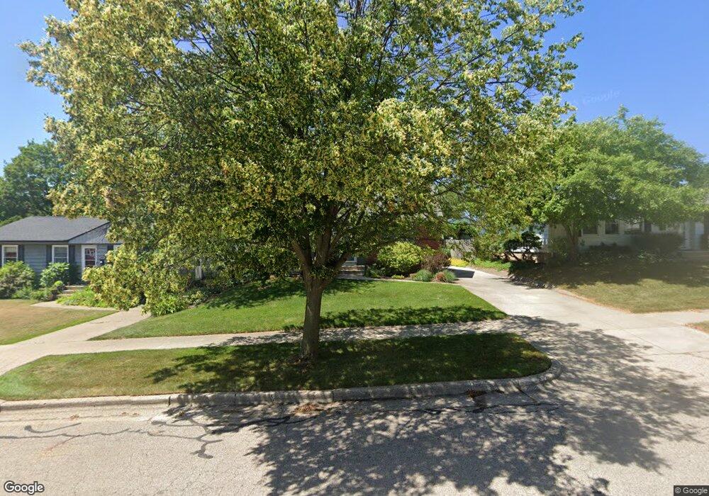
1049 Lockridge Dr NE Grand Rapids, MI 49505
Creston NeighborhoodEstimated Value: $290,013 - $312,000
--
Bed
--
Bath
1,333
Sq Ft
$226/Sq Ft
Est. Value
About This Home
This home is located at 1049 Lockridge Dr NE, Grand Rapids, MI 49505 and is currently estimated at $301,503, approximately $226 per square foot. 1049 Lockridge Dr NE is a home located in Kent County with nearby schools including Kent Hills School, Riverside Middle School, and Union High School.
Ownership History
Date
Name
Owned For
Owner Type
Purchase Details
Closed on
Apr 20, 2023
Sold by
Robinson Peter A
Bought by
Peter A Robinson Trust
Current Estimated Value
Purchase Details
Closed on
Aug 13, 1998
Sold by
Wsnewsk Wsnewsk S S and Wsnewsk Robinson P
Bought by
Robinson Robinson P and Robinson Peter A
Purchase Details
Closed on
Jun 10, 1996
Sold by
Richer Richer J J and Richer S
Bought by
Robinson Wisnewski S and Robinson Peter A
Purchase Details
Closed on
Apr 24, 1991
Sold by
Marklvtz Marklvtz K K and Marklvtz Richer S
Bought by
Robinson Peter A
Purchase Details
Closed on
Mar 19, 1991
Sold by
Marklvtz Marklvtz H H and Marklvtz Mrklvtz K
Bought by
Robinson Peter A
Create a Home Valuation Report for This Property
The Home Valuation Report is an in-depth analysis detailing your home's value as well as a comparison with similar homes in the area
Home Values in the Area
Average Home Value in this Area
Purchase History
| Date | Buyer | Sale Price | Title Company |
|---|---|---|---|
| Peter A Robinson Trust | -- | None Listed On Document | |
| Robinson Robinson P | $98,500 | -- | |
| Robinson Wisnewski S | -- | -- | |
| Robinson Peter A | $15,300 | -- | |
| Robinson Peter A | -- | -- |
Source: Public Records
Tax History Compared to Growth
Tax History
| Year | Tax Paid | Tax Assessment Tax Assessment Total Assessment is a certain percentage of the fair market value that is determined by local assessors to be the total taxable value of land and additions on the property. | Land | Improvement |
|---|---|---|---|---|
| 2025 | $2,017 | $162,400 | $0 | $0 |
| 2024 | $2,017 | $149,900 | $0 | $0 |
| 2023 | $1,932 | $128,300 | $0 | $0 |
| 2022 | $1,943 | $109,800 | $0 | $0 |
| 2021 | $1,900 | $100,100 | $0 | $0 |
| 2020 | $1,816 | $94,500 | $0 | $0 |
| 2019 | $1,902 | $79,400 | $0 | $0 |
| 2018 | $1,837 | $68,700 | $0 | $0 |
| 2017 | $1,788 | $63,600 | $0 | $0 |
| 2016 | $1,810 | $56,800 | $0 | $0 |
| 2015 | $1,683 | $56,800 | $0 | $0 |
| 2013 | -- | $49,500 | $0 | $0 |
Source: Public Records
Map
Nearby Homes
- 1848 Emerald Ave NE
- 1119 Kentwood Dr NE
- 2036 Fuller Ave NE
- 1683 Herrick Ave NE
- 1825 Meadowfield Dr NE
- 1757 Westlane Dr NE
- 2100 Dawson Ave NE
- 1237 Dale Ct NE
- 1755 Benjamin Ave NE
- 1335 Knapp St NE
- 1223 Ridgeway St NE
- 2031 Eastern Ave NE
- 2202 Fuller Ave NE
- 1804 Carlton Ave NE
- 741 Knapp St NE
- 1701 Carlton Ave NE
- 1115 Ecklund St NE
- 2033 Melita Ave NE
- 1649 Carlton Ave NE
- 1448 Herrick Ave NE
- 1055 Lockridge Dr NE
- 1043 Lockridge Dr NE
- 1061 Lockridge Dr NE
- 1037 Lockridge Dr NE
- 1036 Truxton Ave NE
- 1030 Truxton Ave NE
- 1033 Lockridge Dr NE
- 1024 Truxton Ave NE
- 1040 Truxton Ave NE
- 1065 Lockridge Dr NE
- 1056 Lockridge Dr NE
- 1062 Lockridge Dr NE
- 1014 Truxton Ave NE
- 1027 Lockridge Dr NE
- 1044 Lockridge Dr NE
- 1046 Truxton Ave NE
- 1070 Lockridge Dr NE
- 1069 Lockridge Dr NE
- 1038 Lockridge Dr NE
- 1021 Lockridge Dr NE