1049 Poplar Cir Weston, FL 33326
Country Isles NeighborhoodEstimated Value: $1,064,413 - $1,201,000
5
Beds
3
Baths
2,746
Sq Ft
$413/Sq Ft
Est. Value
About This Home
This home is located at 1049 Poplar Cir, Weston, FL 33326 and is currently estimated at $1,134,353, approximately $413 per square foot. 1049 Poplar Cir is a home located in Broward County with nearby schools including Country Isles Elementary School, Tequesta Trace Middle School, and Western High School.
Ownership History
Date
Name
Owned For
Owner Type
Purchase Details
Closed on
Jul 11, 2008
Sold by
Stevens Delano C and Stevens Kristen
Bought by
Cirone Emil A and Cirone Cynthia
Current Estimated Value
Home Financials for this Owner
Home Financials are based on the most recent Mortgage that was taken out on this home.
Original Mortgage
$412,200
Outstanding Balance
$260,765
Interest Rate
6.03%
Mortgage Type
Purchase Money Mortgage
Estimated Equity
$873,588
Purchase Details
Closed on
Sep 1, 1990
Sold by
Available Not
Bought by
Available Not
Create a Home Valuation Report for This Property
The Home Valuation Report is an in-depth analysis detailing your home's value as well as a comparison with similar homes in the area
Home Values in the Area
Average Home Value in this Area
Purchase History
| Date | Buyer | Sale Price | Title Company |
|---|---|---|---|
| Cirone Emil A | $516,000 | Attorney | |
| Available Not | $197,921 | -- |
Source: Public Records
Mortgage History
| Date | Status | Borrower | Loan Amount |
|---|---|---|---|
| Open | Cirone Emil A | $412,200 |
Source: Public Records
Tax History
| Year | Tax Paid | Tax Assessment Tax Assessment Total Assessment is a certain percentage of the fair market value that is determined by local assessors to be the total taxable value of land and additions on the property. | Land | Improvement |
|---|---|---|---|---|
| 2026 | $9,309 | $435,620 | -- | -- |
| 2025 | $9,067 | $424,170 | -- | -- |
| 2024 | $8,794 | $412,220 | -- | -- |
| 2023 | $8,794 | $400,220 | $0 | $0 |
| 2022 | $8,235 | $388,570 | $0 | $0 |
| 2021 | $8,001 | $377,260 | $0 | $0 |
| 2020 | $7,759 | $372,060 | $0 | $0 |
| 2019 | $7,517 | $363,700 | $0 | $0 |
| 2018 | $7,191 | $356,920 | $0 | $0 |
| 2017 | $6,855 | $349,580 | $0 | $0 |
| 2016 | $6,836 | $342,390 | $0 | $0 |
| 2015 | $6,941 | $340,010 | $0 | $0 |
| 2014 | $6,977 | $337,320 | $0 | $0 |
| 2013 | -- | $388,570 | $126,380 | $262,190 |
Source: Public Records
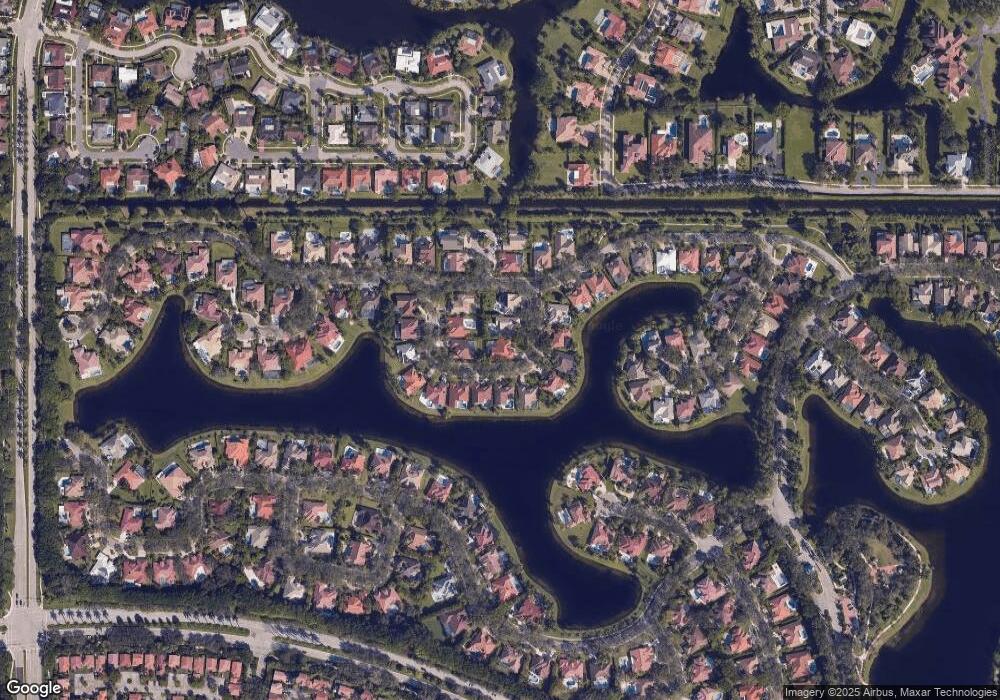
Map
Nearby Homes
- 751 Ranch Rd
- 570 Royal Poinciana Ct
- 1347 Seagrape Cir
- 1327 Seagrape Cir
- 1361 Seagrape Cir
- 1321 Seagrape Cir
- 151 Sw Terrace
- 16380 Paddock Ln
- 1290 Manor Ct
- 1426 Seagrape Cir
- 1202 Manor Dr S
- 1411 Seagrape Cir
- 1427 Seagrape Cir
- 1040 Sandalwood Ln
- 601 Ranch Rd
- 1227 Seagrape Cir
- 1078 Laguna Springs Dr
- 1495 Garden Rd
- 1411 Cottonwood Cir
- 1361 Springside Dr Unit 3
- 1053 Poplar Cir
- 1045 Poplar Cir
- 1057 Poplar Cir
- 1048 Poplar Cir
- 1041 Poplar Cir
- 1046 Poplar Cir
- 1050 Poplar Cir
- 1056 Poplar Cir
- 1052 Poplar Cir
- 1054 Poplar Cir
- 1037 Poplar Cir
- 1058 Poplar Cir
- 1042 Poplar Cir
- 1051 Deerpath Ct
- 1060 Pine Branch Dr
- 1040 Poplar Cir
- 1039 Deerpath Ct
- 1036 Poplar Cir
- 1038 Poplar Cir
- 1055 Pine Branch Dr
Your Personal Tour Guide
Ask me questions while you tour the home.