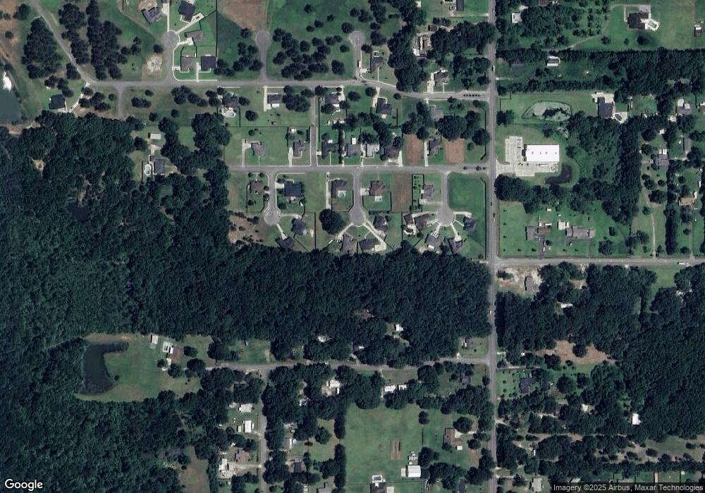
10492 Corine Dr Irvington, AL 36544
Estimated Value: $323,992 - $352,000
3
Beds
2
Baths
2,150
Sq Ft
$155/Sq Ft
Est. Value
About This Home
This home is located at 10492 Corine Dr, Irvington, AL 36544 and is currently estimated at $334,248, approximately $155 per square foot. 10492 Corine Dr is a home located in Mobile County with nearby schools including Saint Elmo Elementary School, Alba Middle School, and Alma Bryant High School.
Ownership History
Date
Name
Owned For
Owner Type
Purchase Details
Closed on
Nov 16, 2018
Sold by
Bank Compass
Bought by
Peters Dennis R and Peters Mary Nell
Current Estimated Value
Home Financials for this Owner
Home Financials are based on the most recent Mortgage that was taken out on this home.
Original Mortgage
$175,750
Outstanding Balance
$154,849
Interest Rate
4.9%
Mortgage Type
New Conventional
Estimated Equity
$179,399
Purchase Details
Closed on
Jun 5, 2006
Sold by
S A S Enterprises Llc
Bought by
Ivy James E
Home Financials for this Owner
Home Financials are based on the most recent Mortgage that was taken out on this home.
Original Mortgage
$148,800
Interest Rate
6.5%
Mortgage Type
Construction
Create a Home Valuation Report for This Property
The Home Valuation Report is an in-depth analysis detailing your home's value as well as a comparison with similar homes in the area
Home Values in the Area
Average Home Value in this Area
Purchase History
| Date | Buyer | Sale Price | Title Company |
|---|---|---|---|
| Peters Dennis R | $185,000 | Sterling Land Title Agency I | |
| Ivy James E | $27,000 | None Available |
Source: Public Records
Mortgage History
| Date | Status | Borrower | Loan Amount |
|---|---|---|---|
| Open | Peters Dennis R | $175,750 | |
| Previous Owner | Ivy James E | $148,800 |
Source: Public Records
Tax History Compared to Growth
Tax History
| Year | Tax Paid | Tax Assessment Tax Assessment Total Assessment is a certain percentage of the fair market value that is determined by local assessors to be the total taxable value of land and additions on the property. | Land | Improvement |
|---|---|---|---|---|
| 2024 | $1,121 | $24,500 | $4,000 | $20,500 |
| 2023 | $1,055 | $23,120 | $4,000 | $19,120 |
| 2022 | $1,066 | $23,350 | $4,000 | $19,350 |
| 2021 | $926 | $20,480 | $4,000 | $16,480 |
| 2020 | $913 | $20,180 | $4,000 | $16,180 |
| 2019 | $1,922 | $39,620 | $0 | $0 |
| 2018 | $943 | $20,820 | $0 | $0 |
| 2017 | $987 | $21,000 | $0 | $0 |
| 2016 | $991 | $21,820 | $0 | $0 |
| 2013 | $960 | $20,280 | $0 | $0 |
Source: Public Records
Map
Nearby Homes
- 0 Amanda Ln Unit 7606519
- 8296 Amanda Ln
- 0 Highway 90 Unit 7579777
- 0 Hurricane Blvd Unit 7569258
- 0 Highway 90 Unit 7567124
- 0 Magnolia Ln W Unit 7158140
- 0 Highway 90 Unit 7580707
- 0 Murray Rd Unit 7662707
- 0 Irvington-Bayou La Batre Hwy Unit 7660378
- 10770 Oak St
- 8600 Two Mile Rd
- 0 Thomas Rd
- 0 Maple Ct
- 8030 Easyway St
- 11020 Irvington Bayou La Batre Hwy
- 0 Sunshine Dr
- 10563 Beverly Rd
- 8070 Irvington Ct
- 9750 Hodge Nursery Rd
- 10120 Padgett Switch Rd
- 10492 Corrine Dr
- 10491 Corrine Dr
- 10483 Namir Dr
- 0 Corinne Dr Unit 255849
- 0 Corinne Dr Unit Lot 24 0601980
- 10493 Namir Dr
- 10481 Corrine Dr
- 8249 Amanda Ln
- 8275 Amanda Ln
- 8219 Amanda Ln
- 10480 Freedom Ln
- 8160 Amanda Ln
- 0 Namir Dr Unit 634849
- 0 Namir Dr Unit 645662
- 0 Namir Dr Unit 658856
- 0 Namir Dr Unit 17 0608230
- 0 Namir Dr Unit 17 0539223
- 0 Namir Dr Unit 17 0515010
- 0 Namir Dr Unit 17 0197145
- 0 Namir Dr Unit 17
