10494 State Route 28 Frankfort, OH 45628
Estimated Value: $193,015 - $324,000
--
Bed
1
Bath
864
Sq Ft
$277/Sq Ft
Est. Value
About This Home
This home is located at 10494 State Route 28, Frankfort, OH 45628 and is currently estimated at $239,004, approximately $276 per square foot. 10494 State Route 28 is a home located in Ross County with nearby schools including Adena Elementary School, Adena Middle School, and Adena High School.
Ownership History
Date
Name
Owned For
Owner Type
Purchase Details
Closed on
Apr 4, 2024
Sold by
Detty Wanda L
Bought by
Detty Milton S and Detty Melissa A
Current Estimated Value
Purchase Details
Closed on
Jul 11, 2003
Bought by
Detty Wanda L Tod To Detty Milto
Purchase Details
Closed on
Feb 24, 2003
Bought by
Detty Wanda L Tod To Detty Milto
Purchase Details
Closed on
Nov 17, 1997
Bought by
Detty Wanda L Tod To Detty Milto
Create a Home Valuation Report for This Property
The Home Valuation Report is an in-depth analysis detailing your home's value as well as a comparison with similar homes in the area
Home Values in the Area
Average Home Value in this Area
Purchase History
| Date | Buyer | Sale Price | Title Company |
|---|---|---|---|
| Detty Milton S | -- | None Listed On Document | |
| Detty Milton S | -- | None Listed On Document | |
| Detty Wanda L Tod To Detty Milto | -- | -- | |
| Detty Wanda L Tod To Detty Milto | -- | -- | |
| Detty Wanda L Tod To Detty Milto | -- | -- |
Source: Public Records
Tax History Compared to Growth
Tax History
| Year | Tax Paid | Tax Assessment Tax Assessment Total Assessment is a certain percentage of the fair market value that is determined by local assessors to be the total taxable value of land and additions on the property. | Land | Improvement |
|---|---|---|---|---|
| 2024 | $1,424 | $50,700 | $11,060 | $39,640 |
| 2023 | $1,424 | $50,700 | $11,060 | $39,640 |
| 2022 | $1,418 | $50,700 | $11,060 | $39,640 |
| 2021 | $1,135 | $40,080 | $8,500 | $31,580 |
| 2020 | $1,166 | $40,080 | $8,500 | $31,580 |
| 2019 | $1,100 | $39,000 | $8,500 | $30,500 |
| 2018 | $828 | $31,040 | $6,310 | $24,730 |
| 2017 | $669 | $26,760 | $6,310 | $20,450 |
| 2016 | $650 | $26,760 | $6,310 | $20,450 |
| 2015 | $569 | $24,420 | $6,310 | $18,110 |
| 2014 | $555 | $24,420 | $6,310 | $18,110 |
| 2013 | $558 | $24,420 | $6,310 | $18,110 |
Source: Public Records
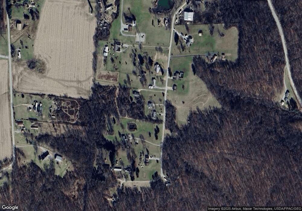
Map
Nearby Homes
- 10605 State Route 28
- 10792 State Route 28
- 0 State Route 28
- 7535 State Route 28
- 10597 State Route 28
- 0 N Sd Rt 28
- 0 N Sd St Rt 28
- 0 N Sd Rt 28 Unit 225026807
- 2139 Poplar Ridge Rd
- 235 Lagerham Ln
- 5678 Lower Twin Rd
- 2025 Little Creek Rd
- 2371 Owl Creek Rd
- 10830 Lower Twin Rd
- 4249 Ragged Ridge Rd
- 2946 Wisecup Hill Rd
- 64 Springfield St
- 2719 Sulphur Lick Rd
- 130 W Springfield St
- 40 N 2nd St
- 10460 State Route 28
- 10460 Ohio 28
- 10466 State Route 28
- 10468 Ohio 28
- 10468 State Route 28
- 10476 Ohio 28
- 10464 State Route 28
- 10464 State Route 28
- 10464 Ohio 28
- 10476 State Route 28
- 10400 Ohio 28
- 10458 State Route 28
- 10400 State Route 28
- 10411 State Route 28
- 373 Poplar Ridge Rd
- 355 Poplar Ridge Rd
- 10282 State Route 28
- 10303 Ohio 28
- 65 Poplar Ridge Rd
- 74 Owl Creek Rd