10496 Carson Hwy Tecumseh, MI 49286
Estimated Value: $276,931 - $422,000
3
Beds
2
Baths
1,664
Sq Ft
$193/Sq Ft
Est. Value
About This Home
This home is located at 10496 Carson Hwy, Tecumseh, MI 49286 and is currently estimated at $320,483, approximately $192 per square foot. 10496 Carson Hwy is a home located in Lenawee County with nearby schools including Patterson Elementary School, Tecumseh Middle School, and Tecumseh High School.
Ownership History
Date
Name
Owned For
Owner Type
Purchase Details
Closed on
Aug 13, 2019
Sold by
Armstrong Leslie L and Armstrong Ganz
Bought by
Armstrong Leslie L and Armstrong Ganz
Current Estimated Value
Purchase Details
Closed on
Jun 15, 2006
Sold by
Callison Jane
Bought by
Ganz Armstrong Susan
Home Financials for this Owner
Home Financials are based on the most recent Mortgage that was taken out on this home.
Original Mortgage
$75,000
Interest Rate
6.73%
Mortgage Type
Purchase Money Mortgage
Create a Home Valuation Report for This Property
The Home Valuation Report is an in-depth analysis detailing your home's value as well as a comparison with similar homes in the area
Purchase History
| Date | Buyer | Sale Price | Title Company |
|---|---|---|---|
| Armstrong Leslie L | -- | None Available | |
| Armstrong Leslie L | -- | -- | |
| Ganz Armstrong Susan | $217,000 | Atcl |
Source: Public Records
Mortgage History
| Date | Status | Borrower | Loan Amount |
|---|---|---|---|
| Previous Owner | Ganz Armstrong Susan | $75,000 |
Source: Public Records
Tax History
| Year | Tax Paid | Tax Assessment Tax Assessment Total Assessment is a certain percentage of the fair market value that is determined by local assessors to be the total taxable value of land and additions on the property. | Land | Improvement |
|---|---|---|---|---|
| 2025 | $2,239 | $121,500 | $0 | $0 |
| 2024 | $15 | $110,600 | $0 | $0 |
| 2023 | $2,142 | $101,700 | $0 | $0 |
| 2022 | $2,114 | $88,000 | $0 | $0 |
| 2021 | $2,334 | $81,400 | $0 | $0 |
| 2020 | $2,309 | $72,700 | $0 | $0 |
| 2019 | $0 | $101,400 | $0 | $0 |
| 2018 | $2,939 | $83,719 | $0 | $0 |
| 2017 | $2,833 | $84,248 | $0 | $0 |
| 2016 | $2,813 | $82,883 | $0 | $0 |
| 2014 | -- | $79,147 | $0 | $0 |
Source: Public Records
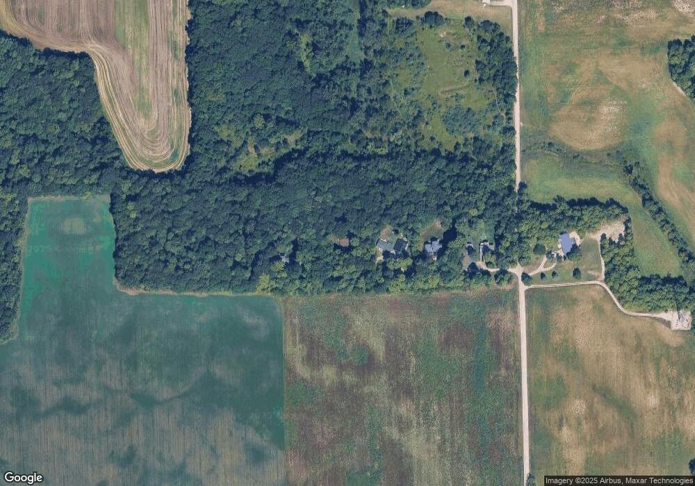
Map
Nearby Homes
- 12135 N Adrian Hwy
- 9000 Matthews Hwy
- 1251 E Monroe Rd
- 4055 Monroe Rd
- W Us-12 Hwy
- 100 BLK Pleasant Dr
- 0 W Us-12 Hwy Unit 26002956
- 3987 W M 50 M 50
- 410 Settlers Cove
- 11180 Tecumseh - Clinton Hwy
- 700 Blk N Occidental Rd
- 317 Clark St Unit B
- 316 W Michigan Ave Unit 28
- 19740 Lemm Rd
- V/L Post Oak Dr
- 502 Carriage Dr
- 102 Tyrrell St
- 1000 Dinius Rd Unit 1000 Blk.
- 108 Burton St
- 1003 Carriage Dr
- 10494 Carson Hwy
- 10492 Carson Hwy
- 10490 Carson Hwy
- 10000 Carson Hwy Unit BLK
- 10495 Carson Hwy
- 10498 Carson Hwy
- 10494 Carson Hwy
- 10650 Carson Hwy
- 10185 Cason Hwy
- 10684 Carson Hwy
- 10185 Carson Hwy
- 10758 Carson Hwy
- 1886 W Munger Rd
- 2170 W Munger Rd
- 1818 W Munger Rd
- 1734 W Munger Rd
- 000 Carson Hwy
- 1571 Taylor Rd
- 1977 Taylor Rd
- 1980 Taylor Rd
Your Personal Tour Guide
Ask me questions while you tour the home.