Estimated Value: $223,000 - $375,000
Studio
--
Bath
864
Sq Ft
$346/Sq Ft
Est. Value
About This Home
This home is located at 10496 Wildfire Rd, Cadet, MO 63630 and is currently estimated at $299,000, approximately $346 per square foot. 10496 Wildfire Rd is a home with nearby schools including Kingston Primary School, Kingston Elementary School, and Kingston Middle School.
Ownership History
Date
Name
Owned For
Owner Type
Purchase Details
Closed on
Aug 24, 2011
Sold by
Brad Richmond Llc
Bought by
Battreal Jeffrey
Current Estimated Value
Create a Home Valuation Report for This Property
The Home Valuation Report is an in-depth analysis detailing your home's value as well as a comparison with similar homes in the area
Purchase History
| Date | Buyer | Sale Price | Title Company |
|---|---|---|---|
| Battreal Jeffrey | -- | -- |
Source: Public Records
Tax History
| Year | Tax Paid | Tax Assessment Tax Assessment Total Assessment is a certain percentage of the fair market value that is determined by local assessors to be the total taxable value of land and additions on the property. | Land | Improvement |
|---|---|---|---|---|
| 2025 | $953 | $18,460 | $3,610 | $14,850 |
| 2024 | $9 | $16,530 | $3,610 | $12,920 |
| 2023 | $895 | $16,530 | $3,610 | $12,920 |
| 2022 | $895 | $16,530 | $3,610 | $12,920 |
| 2021 | $900 | $16,530 | $3,610 | $12,920 |
| 2020 | $901 | $16,530 | $3,610 | $12,920 |
| 2019 | $901 | $16,530 | $3,610 | $12,920 |
| 2018 | $903 | $16,530 | $0 | $0 |
| 2017 | $901 | $16,530 | $3,610 | $12,920 |
| 2016 | $812 | $15,120 | $3,610 | $11,510 |
| 2014 | -- | $15,120 | $0 | $0 |
| 2013 | -- | $15,120 | $0 | $0 |
| 2012 | -- | $15,120 | $0 | $0 |
Source: Public Records
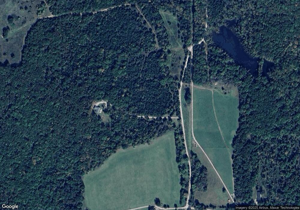
Map
Nearby Homes
- 58 State Highway F
- 000 State Highway F
- 0 Dusty Rd Unit MIS26017066
- 16072 State Highway F
- 4 Jackal Rd
- 3 Jackal Rd
- 2 Jackal Rd
- 1 Jackal Rd
- 0 Cyclone Rd
- 0 State Highway F Unit MIS25069736
- 10555 Pashia Farm Rd
- 10555 Pashia Rd
- 15190 N State Highway 21
- 10076 Puckett Rd
- 10801 Blackberry Hill
- 20722 State Highway Aa
- 20165 State Highway Aa
- 10248 Keyes Branch Rd
- 1101 Richeson Rd
- 10450 Oakwood Rd
- 10290 Wildfire Rd
- 0 Wildfire Rd
- 999 Arnault Branch Rd
- 10175 Wildfire Rd
- 000 Hwy F
- 12739 Arnault Branch Rd
- 12340 Arnault Branch Rd
- 12953 Arnault Branch Rd
- 0 Highway F Unit 22043364
- 0 Highway F Unit 21058055
- 0 Highway F Unit 19070989
- 0 Highway F Unit 19070958
- 14950 State Highway F
- 15009 State Highway F
- 14754 State Highway F
- 02.98 +/- State Highway F
- 14694 State Highway F
- 14726 State Highway F
- 0 Bailey Dr Unit 18013872
- 0 Bailey Dr Unit 17082383
Your Personal Tour Guide
Ask me questions while you tour the home.