10497 Billman Rd Roscommon, MI 48653
Estimated Value: $108,000 - $186,000
2
Beds
2
Baths
900
Sq Ft
$175/Sq Ft
Est. Value
About This Home
This home is located at 10497 Billman Rd, Roscommon, MI 48653 and is currently estimated at $157,164, approximately $174 per square foot. 10497 Billman Rd is a home located in Crawford County with nearby schools including Roscommon Elementary School, Roscommon Middle School, and Roscommon High School.
Ownership History
Date
Name
Owned For
Owner Type
Purchase Details
Closed on
Aug 4, 2020
Sold by
Alger Stephen R
Bought by
Porter David
Current Estimated Value
Purchase Details
Closed on
Mar 5, 1999
Sold by
Pape Stephan and Pape Elizabeth
Bought by
Alger Stephen R
Purchase Details
Closed on
Mar 1, 1999
Sold by
O'Brien Patrick and Wf Jane
Bought by
Pape Stephan and Pape Elizabeth
Purchase Details
Closed on
Dec 4, 1998
Sold by
O'Brien Patrick and O'Brien Jane
Bought by
Pape Stephan and Pape Elizabeth
Purchase Details
Closed on
Dec 2, 1998
Bought by
Patrick O'Brien
Purchase Details
Closed on
Jun 10, 1998
Sold by
Pape Stephan E and Pape Elizabeth
Bought by
Bankers Trust Co
Purchase Details
Closed on
Dec 1, 1994
Create a Home Valuation Report for This Property
The Home Valuation Report is an in-depth analysis detailing your home's value as well as a comparison with similar homes in the area
Home Values in the Area
Average Home Value in this Area
Purchase History
| Date | Buyer | Sale Price | Title Company |
|---|---|---|---|
| Porter David | $30,000 | -- | |
| Alger Stephen R | $43,400 | -- | |
| Pape Stephan | $20,000 | -- | |
| Pape Stephan | $19,800 | -- | |
| O'Brien Patrick | $20,000 | -- | |
| Patrick O'Brien | -- | -- | |
| Bankers Trust Co | -- | -- | |
| -- | $24,000 | -- |
Source: Public Records
Tax History Compared to Growth
Tax History
| Year | Tax Paid | Tax Assessment Tax Assessment Total Assessment is a certain percentage of the fair market value that is determined by local assessors to be the total taxable value of land and additions on the property. | Land | Improvement |
|---|---|---|---|---|
| 2025 | $1,731 | $55,400 | $55,400 | $0 |
| 2024 | $448 | $51,700 | $51,700 | $0 |
| 2023 | $428 | $36,100 | $36,100 | $0 |
| 2022 | $408 | $33,700 | $33,700 | $0 |
| 2021 | $1,559 | $32,600 | $32,600 | $0 |
| 2020 | $1,232 | $32,300 | $32,300 | $0 |
| 2019 | $1,201 | $30,900 | $30,900 | $0 |
| 2018 | $1,176 | $29,900 | $29,900 | $0 |
| 2017 | $293 | $28,000 | $28,000 | $0 |
| 2016 | $290 | $23,700 | $23,700 | $0 |
| 2015 | -- | $23,700 | $0 | $0 |
| 2014 | -- | $23,800 | $0 | $0 |
| 2013 | -- | $25,300 | $0 | $0 |
Source: Public Records
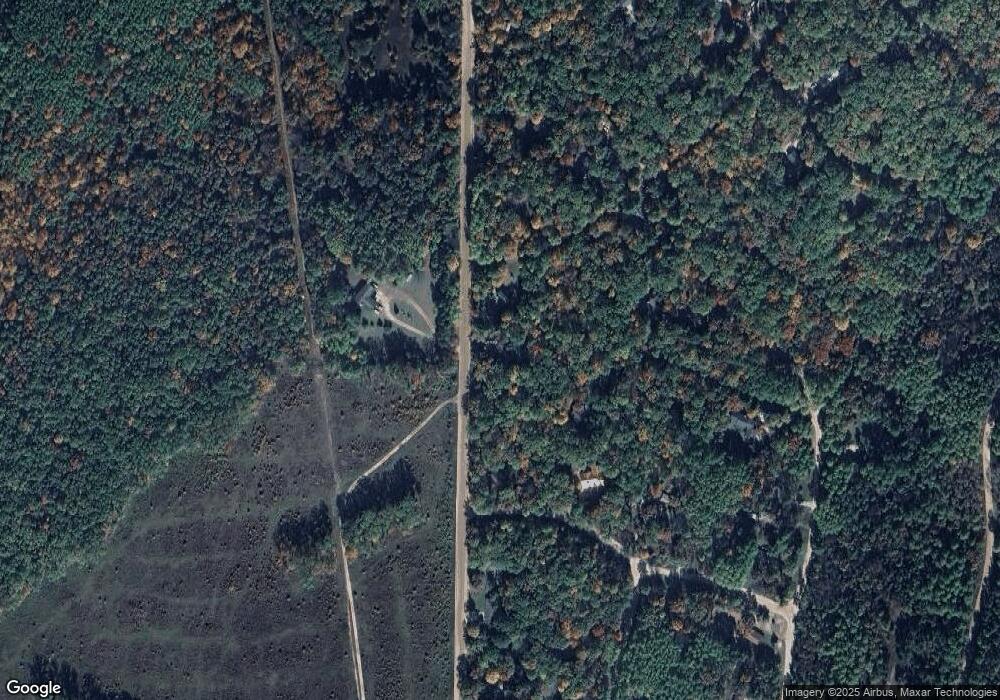
Map
Nearby Homes
- 10256 Billman Rd
- 91 Otter Ct
- 10339 W Forest Way
- TBD E Pinedale St
- Apache Trail
- 724 Lynn Dr
- Silverbow Ln
- 115 S Hunting Horn Dr
- E Huntinghorn Rd
- E Huntinghorn Rd
- 11427 Huntinghorn Rd
- 0 Beaver Creek Trail Unit 25064697
- 11269 Tanglewood Dr
- 11282 Steckert Bridge Rd
- V/L Steckert Bridge Rd
- 10957 Pines Trail
- 10681 Pines Trail
- 726 Wilbur Ln
- 38 S Eugene Dr
- 1249 Finn Trail
- 10467 Billman Rd
- XXX Billman Rd
- XXX Billman Rd Unit 415
- 431 Deerskin Ct
- 258 Tribal Trail Unit 258
- 10559 Billman Rd
- 10372 Tribal Trail
- 10381 Tribal Trail
- 428 Wigwam St
- 10609 Billman Rd
- 10372 Tribal Trail
- 410 Wigwam St
- 10389 Billman Rd
- 10629 Billman Rd
- 10668 Deerwood Trail
- 10516 Pochahantas Trail
- 10516 Pochahantas Trail
- 10647 Billman Rd
- 10317 Billman Rd
- 10572 Pochahantas Trail