Estimated Value: $719,639 - $878,000
2
Beds
2
Baths
1,569
Sq Ft
$485/Sq Ft
Est. Value
About This Home
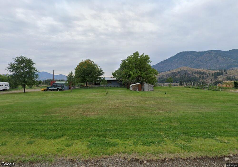
This home is located at 104B Twisp Airport Rd, Twisp, WA 98856 and is currently estimated at $761,660, approximately $485 per square foot. 104B Twisp Airport Rd is a home with nearby schools including Methow Valley Elementary School, Liberty Bell Junior/Senior High School, and Methow Valley Independent Learning Center.
Ownership History
Date
Name
Owned For
Owner Type
Purchase Details
Closed on
Aug 27, 2020
Sold by
Bader Kathleen A
Bought by
Sullivan Patrick J and Sullivan Robin S
Current Estimated Value
Home Financials for this Owner
Home Financials are based on the most recent Mortgage that was taken out on this home.
Original Mortgage
$396,000
Outstanding Balance
$283,211
Interest Rate
3%
Mortgage Type
New Conventional
Estimated Equity
$478,449
Purchase Details
Closed on
Jun 29, 2009
Sold by
Lomison John G and Lomison Sandra Eileen
Bought by
Bader Kathleen A
Create a Home Valuation Report for This Property
The Home Valuation Report is an in-depth analysis detailing your home's value as well as a comparison with similar homes in the area
Home Values in the Area
Average Home Value in this Area
Purchase History
| Date | Buyer | Sale Price | Title Company |
|---|---|---|---|
| Sullivan Patrick J | $495,000 | Wfg Natl Ttl Co Of Eastern W | |
| Bader Kathleen A | $92,500 | Inland Professional Title |
Source: Public Records
Mortgage History
| Date | Status | Borrower | Loan Amount |
|---|---|---|---|
| Open | Sullivan Patrick J | $396,000 |
Source: Public Records
Tax History Compared to Growth
Tax History
| Year | Tax Paid | Tax Assessment Tax Assessment Total Assessment is a certain percentage of the fair market value that is determined by local assessors to be the total taxable value of land and additions on the property. | Land | Improvement |
|---|---|---|---|---|
| 2025 | $4,843 | $669,800 | $125,000 | $544,800 |
| 2024 | $4,843 | $613,400 | $125,000 | $488,400 |
| 2023 | $4,282 | $500,700 | $125,000 | $375,700 |
| 2022 | $4,251 | $395,800 | $58,700 | $337,100 |
| 2021 | $4,899 | $395,800 | $58,700 | $337,100 |
| 2020 | $3,958 | $395,800 | $58,700 | $337,100 |
| 2019 | $3,774 | $318,000 | $58,700 | $259,300 |
| 2018 | $3,580 | $318,000 | $58,700 | $259,300 |
| 2017 | $3,251 | $318,000 | $58,700 | $259,300 |
| 2016 | $2,805 | $277,800 | $45,000 | $232,800 |
| 2015 | $2,595 | $277,800 | $45,000 | $232,800 |
| 2013 | -- | $277,800 | $45,000 | $232,800 |
Source: Public Records
Map
Nearby Homes
- 803 C Twisp Carlton
- 1221 Riverside Ave
- 3020 Washington Unit 153
- 0 Lot 2 Amended Surface Short Plat
- 2992 Washington 153
- 803 D Twisp Carlton Rd
- 318 Lombard St
- 96 Alder Creek Rd
- 303 E 2nd Ave
- 136 Johnson St
- 115 Johnson St N Unit 1,2,3
- 140 Twisp Ave W Unit 204
- 0 Isabella Ln Unit NWM2400755
- 0 Isabella Ln Unit NWM2400767
- 799 Twisp River Rd
- 48 Thurlow Rd
- 121 Finley Canyon Rd
- 54B Ross Rd Unit B
- 245 Twisp Carlton Rd
- 3A Ross Rd
- 100 Twisp Airport Rd
- 10 Halyruud Dr
- 5 No Go Around Ln
- 12 Halyruud Dr
- 7 No Go Around Ln
- 119 Twisp Airport Rd
- 15 Halyruud Dr
- 14 Halyruud Dr
- 120 Twisp Airport Rd
- 94 Twisp Airport Rd
- 88 Twisp Airport Rd
- 2311 Halyruud Ln
- 4 Halyruud Ln
- 92 Twisp Airport Rd
- 115 Twisp Airport Rd
- 104C Twisp Airport Rd
- 3 Halyruud Ln
- 2340 Halyruud Ln
- 20342 State Route 20
- 20396 State Route 20