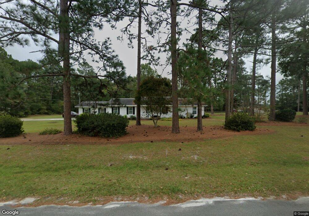
105 2nd Rd Hazlehurst, GA 31539
Estimated Value: $168,000 - $240,000
--
Bed
2
Baths
1,755
Sq Ft
$110/Sq Ft
Est. Value
About This Home
This home is located at 105 2nd Rd, Hazlehurst, GA 31539 and is currently estimated at $193,597, approximately $110 per square foot. 105 2nd Rd is a home located in Jeff Davis County with nearby schools including Jeff Davis Primary School, Jeff Davis Elementary School, and Jeff Davis Middle School.
Ownership History
Date
Name
Owned For
Owner Type
Purchase Details
Closed on
Mar 30, 2018
Sold by
Phillips Donald G
Bought by
Pridgen Williams Caralee
Current Estimated Value
Home Financials for this Owner
Home Financials are based on the most recent Mortgage that was taken out on this home.
Original Mortgage
$93,000
Outstanding Balance
$80,090
Interest Rate
4.5%
Mortgage Type
New Conventional
Estimated Equity
$113,507
Purchase Details
Closed on
Oct 21, 1991
Bought by
Phillips Phil
Purchase Details
Closed on
Jan 1, 1984
Bought by
Hughes Melvin A
Create a Home Valuation Report for This Property
The Home Valuation Report is an in-depth analysis detailing your home's value as well as a comparison with similar homes in the area
Home Values in the Area
Average Home Value in this Area
Purchase History
| Date | Buyer | Sale Price | Title Company |
|---|---|---|---|
| Pridgen Williams Caralee | $93,000 | -- | |
| Phillips Phil | $40,500 | -- | |
| Hughes Melvin A | -- | -- |
Source: Public Records
Mortgage History
| Date | Status | Borrower | Loan Amount |
|---|---|---|---|
| Open | Pridgen Williams Caralee | $93,000 |
Source: Public Records
Tax History Compared to Growth
Tax History
| Year | Tax Paid | Tax Assessment Tax Assessment Total Assessment is a certain percentage of the fair market value that is determined by local assessors to be the total taxable value of land and additions on the property. | Land | Improvement |
|---|---|---|---|---|
| 2024 | $1,963 | $66,800 | $5,520 | $61,280 |
| 2023 | $1,264 | $43,010 | $4,875 | $38,135 |
| 2022 | $1,264 | $43,010 | $4,875 | $38,135 |
| 2021 | $1,264 | $43,010 | $4,875 | $38,135 |
| 2020 | $1,264 | $43,010 | $4,875 | $38,135 |
| 2019 | $1,093 | $43,010 | $4,875 | $38,135 |
| 2018 | $916 | $33,163 | $4,875 | $28,288 |
| 2017 | $790 | $29,337 | $2,666 | $26,671 |
| 2016 | $776 | $29,337 | $2,666 | $26,671 |
| 2015 | -- | $29,338 | $2,666 | $26,671 |
| 2014 | -- | $29,354 | $2,666 | $26,687 |
Source: Public Records
Map
Nearby Homes
- 393 Douglas Hwy
- 102 W Palm Rd
- 74 74 Leslie Rd
- 0 Collins St
- 53 Mockingbird Ln
- 34 Bradford Ln
- 0 Wragler Ln Unit 10542405
- 00 Pat Dixon St & Charles Rogers Blvd
- 16 Beech Rd
- 55 Pine Ridge Rd
- 0 Charles Rogers Blvd
- 54 Walton Way
- 58 Currie St
- 44 Kersey St
- 9 Kersey St
- 73 Latimer St
- 45 Elton St
- 20 W Sycamore St
- 116 Walton Way
- 371 Burketts Ferry Rd