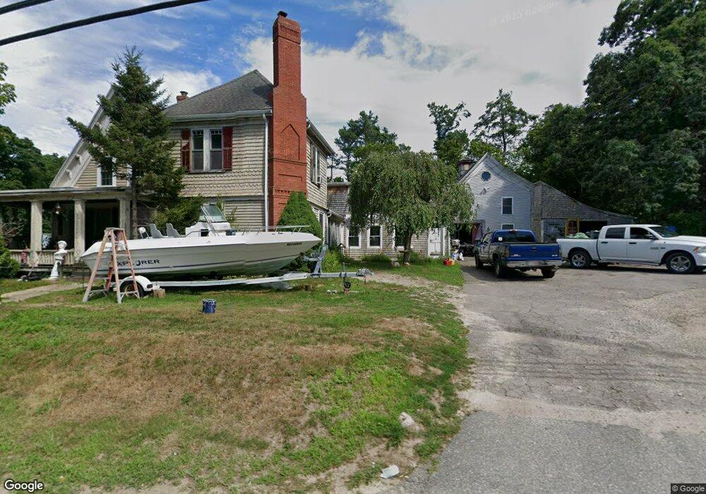
105 Acorn St Marshfield, MA 02050
Estimated Value: $827,000 - $996,000
5
Beds
3
Baths
3,872
Sq Ft
$236/Sq Ft
Est. Value
About This Home
This home is located at 105 Acorn St, Marshfield, MA 02050 and is currently estimated at $913,480, approximately $235 per square foot. 105 Acorn St is a home located in Plymouth County with nearby schools including South River, Furnace Brook Middle School, and Marshfield High School.
Ownership History
Date
Name
Owned For
Owner Type
Purchase Details
Closed on
Jan 31, 1995
Sold by
Myers Farm Estates Inc
Bought by
Perilli Richard R and Perilli Karen J
Current Estimated Value
Home Financials for this Owner
Home Financials are based on the most recent Mortgage that was taken out on this home.
Original Mortgage
$108,000
Interest Rate
9.24%
Mortgage Type
Purchase Money Mortgage
Purchase Details
Closed on
Sep 1, 1994
Sold by
Fhlmc
Bought by
Crossen Ralph M
Home Financials for this Owner
Home Financials are based on the most recent Mortgage that was taken out on this home.
Original Mortgage
$75,000
Interest Rate
8.44%
Mortgage Type
Purchase Money Mortgage
Purchase Details
Closed on
Apr 20, 1994
Sold by
Jennings Thomas F and Jennings Barbara A
Bought by
Fhlmc
Create a Home Valuation Report for This Property
The Home Valuation Report is an in-depth analysis detailing your home's value as well as a comparison with similar homes in the area
Home Values in the Area
Average Home Value in this Area
Purchase History
| Date | Buyer | Sale Price | Title Company |
|---|---|---|---|
| Perilli Richard R | $135,000 | -- | |
| Crossen Ralph M | $85,000 | -- | |
| Fhlmc | $176,775 | -- |
Source: Public Records
Mortgage History
| Date | Status | Borrower | Loan Amount |
|---|---|---|---|
| Open | Fhlmc | $160,000 | |
| Closed | Fhlmc | $108,000 | |
| Previous Owner | Fhlmc | $75,000 |
Source: Public Records
Tax History Compared to Growth
Tax History
| Year | Tax Paid | Tax Assessment Tax Assessment Total Assessment is a certain percentage of the fair market value that is determined by local assessors to be the total taxable value of land and additions on the property. | Land | Improvement |
|---|---|---|---|---|
| 2025 | $7,392 | $746,700 | $356,200 | $390,500 |
| 2024 | $7,455 | $717,500 | $340,900 | $376,600 |
| 2023 | $6,342 | $632,700 | $305,300 | $327,400 |
| 2022 | $6,342 | $489,700 | $243,400 | $246,300 |
| 2021 | $6,395 | $484,800 | $243,400 | $241,400 |
| 2020 | $6,085 | $456,500 | $215,100 | $241,400 |
| 2019 | $6,108 | $456,500 | $215,100 | $241,400 |
| 2018 | $6,011 | $449,600 | $215,100 | $234,500 |
| 2017 | $5,736 | $418,100 | $215,100 | $203,000 |
| 2016 | $5,713 | $411,600 | $208,600 | $203,000 |
| 2015 | $5,470 | $411,600 | $208,600 | $203,000 |
| 2014 | $5,469 | $411,500 | $193,400 | $218,100 |
Source: Public Records
Map
Nearby Homes
- 5 Maple Ln Unit 5
- 431 Moraine St
- 15 Lady Slipper Ln
- 713 Webster St
- 20 Amado Way
- 184 King Phillips Pathe
- 311 S River St
- 3 Harlow Brook Way Unit 3
- 2 Harlow Brook Way Unit 2
- 92 Salt Meadow Waye
- 2 Secret Pond Way Unit 35
- 1 Secret Pond Way Unit 36
- The Duplex Plan at The Village at Harlow Brook
- The Chatham Plan at The Village at Harlow Brook
- The Falmouth Plan at The Village at Harlow Brook
- 235 Main St
- 167 Planting Field Rd
- 14 Red Pony Path
- 30 Chandler Dr
- 33 Herring Weir Rd