Estimated Value: $174,000 - $191,049
3
Beds
2
Baths
1,040
Sq Ft
$174/Sq Ft
Est. Value
About This Home
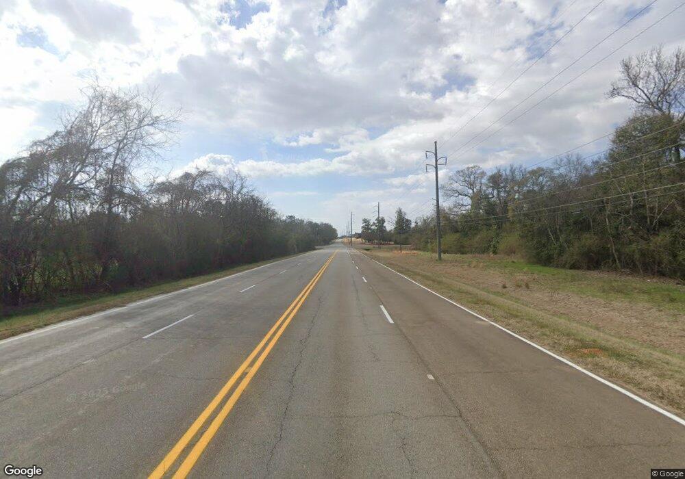
This home is located at 105 Airport Rd, Perry, GA 31069 and is currently estimated at $180,762, approximately $173 per square foot. 105 Airport Rd is a home located in Houston County with nearby schools including Tucker Elementary School, Perry Middle School, and Perry High School.
Ownership History
Date
Name
Owned For
Owner Type
Purchase Details
Closed on
Nov 17, 1998
Sold by
Lanham Archie A and Lanham Catherine D
Bought by
Cobb Ruth P and William W*
Current Estimated Value
Purchase Details
Closed on
Feb 8, 1994
Sold by
Browne Dwayne D and Browne Jill L
Bought by
Lanham Archie A and Lanham Catherine D
Purchase Details
Closed on
Mar 31, 1992
Sold by
Stewart William E and Stewart Patsy P
Bought by
Browne Dwayne D and Browne Jill L
Purchase Details
Closed on
Dec 21, 1982
Sold by
Mullins W G
Bought by
Stewart William E and Stewart Patsy P
Purchase Details
Closed on
Jun 6, 1980
Sold by
Mullins Homes Inc
Bought by
Mullins W G
Create a Home Valuation Report for This Property
The Home Valuation Report is an in-depth analysis detailing your home's value as well as a comparison with similar homes in the area
Home Values in the Area
Average Home Value in this Area
Purchase History
| Date | Buyer | Sale Price | Title Company |
|---|---|---|---|
| Cobb Ruth P | -- | -- | |
| Lanham Archie A | -- | -- | |
| Browne Dwayne D | -- | -- | |
| Stewart William E | -- | -- | |
| Mullins W G | -- | -- |
Source: Public Records
Tax History Compared to Growth
Tax History
| Year | Tax Paid | Tax Assessment Tax Assessment Total Assessment is a certain percentage of the fair market value that is determined by local assessors to be the total taxable value of land and additions on the property. | Land | Improvement |
|---|---|---|---|---|
| 2024 | $1,370 | $46,000 | $6,280 | $39,720 |
| 2023 | $1,117 | $38,920 | $6,280 | $32,640 |
| 2022 | $630 | $36,560 | $6,280 | $30,280 |
| 2021 | $508 | $31,120 | $6,000 | $25,120 |
| 2020 | $500 | $30,680 | $6,000 | $24,680 |
| 2019 | $500 | $30,680 | $6,000 | $24,680 |
| 2018 | $500 | $30,680 | $6,000 | $24,680 |
| 2017 | $501 | $30,680 | $6,000 | $24,680 |
| 2016 | $502 | $30,680 | $6,000 | $24,680 |
| 2015 | $502 | $30,680 | $6,000 | $24,680 |
| 2014 | -- | $30,680 | $6,000 | $24,680 |
| 2013 | -- | $30,680 | $6,000 | $24,680 |
Source: Public Records
Map
Nearby Homes
- 312 Spyglass Hill Dr
- 142 Fairway Oaks Dr
- 145 Fairway Oaks Dr
- 205 S Houston Springs Blvd
- 156 Turning Leaf Ln
- 310 Pebble Beach Dr
- 315 Pebble Beach Dr
- 133 Shady Oak Dr
- 131 Shady Oak Dr
- 902 Quail Ridge Ln
- 1803 Quail Ridge Ln
- 1804 Quail Ridge Ln
- 1801 Quail Ridge Ln
- 1802 Quail Ridge Ln
- 128 Kenmore Cir Unit 15
- 126 Kenmore Cir Unit 14
- 124 Kenmore Cir Unit 13
- 113 Kenmore Cir Unit 138
- 115 Kenmore Cir Unit 139
- 117 Kenmore Cir Unit 140
- 108 Airport Rd
- 113 Airport Rd
- 110 Airport Rd
- 230 Overton Dr Unit LOT 49
- 233 Overton Dr
- 230 Overton Dr
- 237 Overton Dr
- 238 Overton Dr
- 240 Overton Dr
- 231 Overton Dr
- 239 Overton Dr
- 236 Overton Dr
- 237 Overton Dr Unit LOT 70
- 238 Overton Dr Unit LOT 53
- 240 Overton Dr Unit LOT 54
- 229 Overton Dr
- 234 Overton Dr
- 300 Mason Mill Rd
- 250 Overton Dr
- 243 Overton Dr
