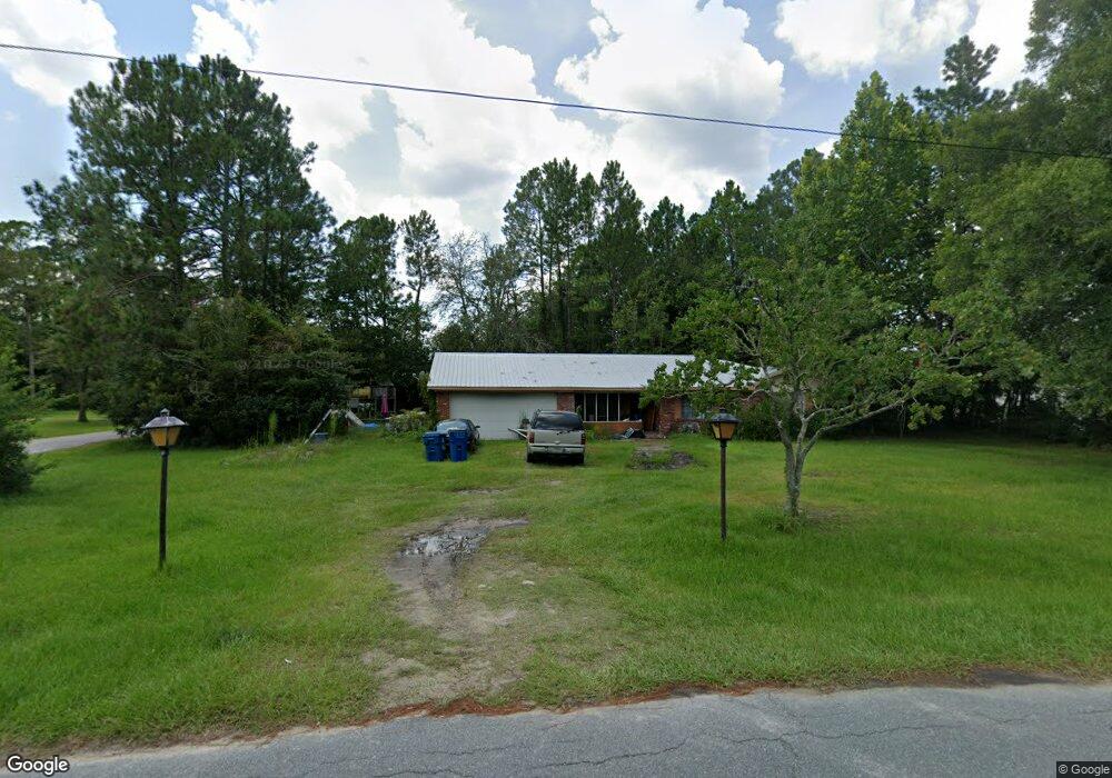
105 Allen Rd Nahunta, GA 31553
Estimated Value: $180,000 - $215,000
3
Beds
2
Baths
1,872
Sq Ft
$105/Sq Ft
Est. Value
About This Home
This home is located at 105 Allen Rd, Nahunta, GA 31553 and is currently estimated at $196,518, approximately $104 per square foot. 105 Allen Rd is a home located in Brantley County with nearby schools including Nahunta Primary School, Nahunta Elementary School, and Brantley County Middle School.
Ownership History
Date
Name
Owned For
Owner Type
Purchase Details
Closed on
Sep 15, 2006
Sold by
Sec Of Housing & U
Bought by
Morgan Alan Doyle and Morgan Selena Elaine
Current Estimated Value
Home Financials for this Owner
Home Financials are based on the most recent Mortgage that was taken out on this home.
Original Mortgage
$80,100
Outstanding Balance
$46,349
Interest Rate
6.48%
Mortgage Type
New Conventional
Estimated Equity
$150,169
Purchase Details
Closed on
Jan 4, 2005
Sold by
Chase Manhattan Mtg Corp
Bought by
Sec Of Housing & Urban
Create a Home Valuation Report for This Property
The Home Valuation Report is an in-depth analysis detailing your home's value as well as a comparison with similar homes in the area
Purchase History
| Date | Buyer | Sale Price | Title Company |
|---|---|---|---|
| Morgan Alan Doyle | $75,241 | -- | |
| Sec Of Housing & Urban | $87,400 | -- | |
| Chase Manhattan Mtg Corp | $87,400 | -- |
Source: Public Records
Mortgage History
| Date | Status | Borrower | Loan Amount |
|---|---|---|---|
| Open | Morgan Alan Doyle | $80,100 |
Source: Public Records
Tax History
| Year | Tax Paid | Tax Assessment Tax Assessment Total Assessment is a certain percentage of the fair market value that is determined by local assessors to be the total taxable value of land and additions on the property. | Land | Improvement |
|---|---|---|---|---|
| 2025 | $1,915 | $56,482 | $2,016 | $54,466 |
| 2024 | $1,746 | $48,027 | $5,000 | $43,027 |
| 2023 | $1,766 | $48,027 | $5,000 | $43,027 |
| 2022 | $1,766 | $48,027 | $5,000 | $43,027 |
| 2021 | $1,673 | $36,770 | $5,000 | $31,770 |
| 2020 | $1,683 | $36,770 | $5,000 | $31,770 |
| 2019 | $1,648 | $36,027 | $5,000 | $31,027 |
| 2018 | $1,717 | $36,027 | $5,000 | $31,027 |
| 2017 | $1,717 | $36,027 | $5,000 | $31,027 |
| 2016 | $1,657 | $36,027 | $5,000 | $31,027 |
| 2015 | -- | $36,027 | $5,000 | $31,027 |
Source: Public Records
Map
Nearby Homes
- 92 Ervin St
- 154 Avalon St
- 20.55 ACRES Highway 82
- 109 Rainge St
- 387 Burton St
- 440 Brantley St
- 584 Knox St
- 00 Robin Ln
- 828 Knox St
- 4561 Buffalo Creek Dr
- 29 Chisholm St
- 1473 Chesser Ln
- 7126 U S 301
- 4432 Pembers Rd
- 537 Seward Trail
- 4452 Pembers Rd
- 193 Blackberry Rd
- 3362 Seed Orchard Rd
- 0 Woodrow Ln
- 91 Cane Cir
Your Personal Tour Guide
Ask me questions while you tour the home.