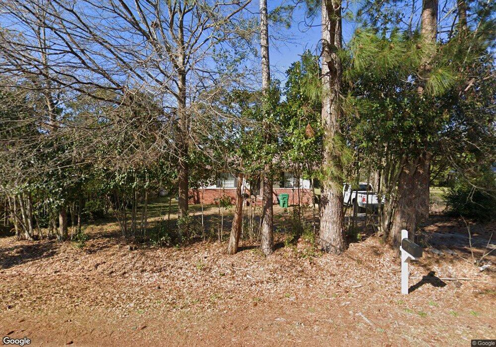
105 Andrew Dr Warner Robins, GA 31093
Estimated Value: $105,830 - $139,000
2
Beds
1
Bath
888
Sq Ft
$134/Sq Ft
Est. Value
About This Home
This home is located at 105 Andrew Dr, Warner Robins, GA 31093 and is currently estimated at $118,958, approximately $133 per square foot. 105 Andrew Dr is a home located in Houston County with nearby schools including Northside Elementary School, Northside Middle School, and Northside High School.
Ownership History
Date
Name
Owned For
Owner Type
Purchase Details
Closed on
Nov 11, 2021
Sold by
M & P Rentals Inc
Bought by
Sfr3 040 Llc
Current Estimated Value
Purchase Details
Closed on
Dec 20, 2002
Sold by
Carpenter Dorothy W
Bought by
M & P Rentals Inc
Purchase Details
Closed on
Oct 18, 2001
Sold by
Carpenter David D
Bought by
Carpenter Dorothy W
Purchase Details
Closed on
Jun 20, 1976
Sold by
Carpenter David D
Bought by
Carpenter David D
Purchase Details
Closed on
Aug 14, 1969
Sold by
Tunison Lucien L
Bought by
Carpenter David D
Purchase Details
Closed on
Feb 8, 1960
Bought by
Tunison Lucien L
Create a Home Valuation Report for This Property
The Home Valuation Report is an in-depth analysis detailing your home's value as well as a comparison with similar homes in the area
Home Values in the Area
Average Home Value in this Area
Purchase History
| Date | Buyer | Sale Price | Title Company |
|---|---|---|---|
| Sfr3 040 Llc | $3,350,000 | None Available | |
| M & P Rentals Inc | -- | -- | |
| Carpenter Dorothy W | -- | -- | |
| Carpenter David D | -- | -- | |
| Carpenter David D | -- | -- | |
| Tunison Lucien L | -- | -- |
Source: Public Records
Tax History Compared to Growth
Tax History
| Year | Tax Paid | Tax Assessment Tax Assessment Total Assessment is a certain percentage of the fair market value that is determined by local assessors to be the total taxable value of land and additions on the property. | Land | Improvement |
|---|---|---|---|---|
| 2024 | $631 | $26,360 | $3,920 | $22,440 |
| 2023 | $514 | $21,280 | $2,840 | $18,440 |
| 2022 | $416 | $19,240 | $2,840 | $16,400 |
| 2021 | $411 | $16,920 | $2,840 | $14,080 |
| 2020 | $345 | $14,120 | $2,840 | $11,280 |
| 2019 | $345 | $14,120 | $2,840 | $11,280 |
| 2018 | $345 | $14,120 | $2,840 | $11,280 |
| 2017 | $345 | $14,120 | $2,840 | $11,280 |
| 2016 | $349 | $14,280 | $2,840 | $11,440 |
| 2015 | $350 | $14,280 | $2,840 | $11,440 |
| 2014 | -- | $14,280 | $2,840 | $11,440 |
| 2013 | -- | $14,280 | $2,840 | $11,440 |
Source: Public Records
Map
Nearby Homes
- 113 Northwind Ct
- 113 Eastlake Dr
- 213 Fairgrounds Blvd
- V L Plantation Rd
- 104 Hughes Dr
- 0 Plantation Rd
- 108 Emerald Ct
- 303 Wake Forest Dr
- 312 Wake Forest Dr
- 109 Haag Dr
- 60 Tiffany Ln
- 119 Keith Dr
- 108 Jessica Dr
- 107 Briarwood Dr
- 201 Inglewood Dr
- 124 Flanders Dr
- 304 Keith Dr
- 94 Tiffany Ln
- 334 Wisconsin Ave
