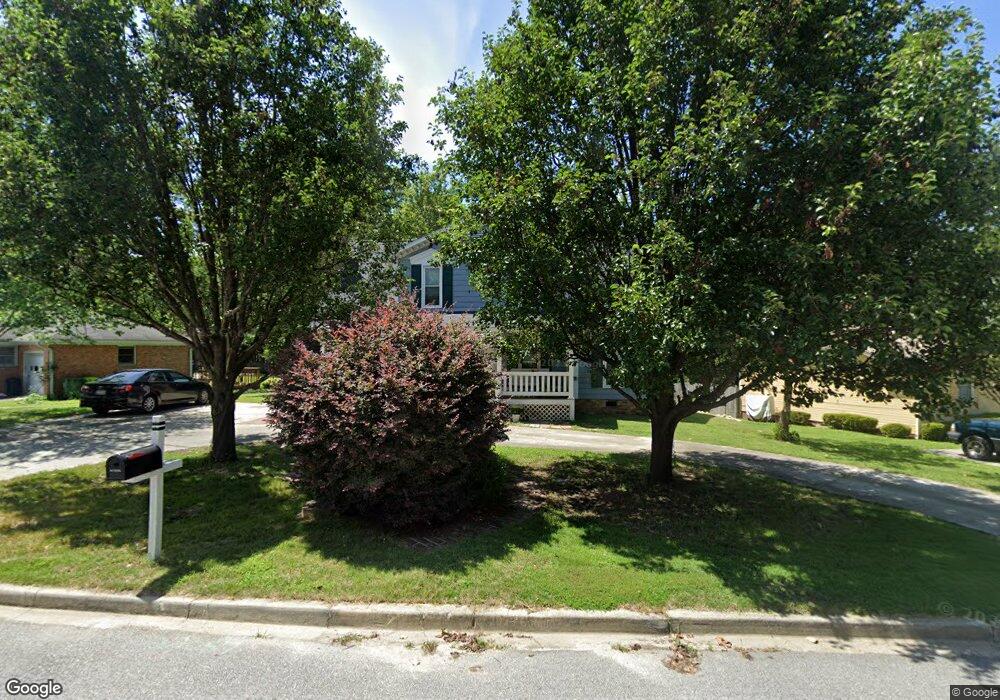
105 Arborgate Cir Columbia, SC 29212
Saint Andrews NeighborhoodEstimated Value: $193,000 - $271,000
4
Beds
4
Baths
2,273
Sq Ft
$109/Sq Ft
Est. Value
About This Home
This home is located at 105 Arborgate Cir, Columbia, SC 29212 and is currently estimated at $246,901, approximately $108 per square foot. 105 Arborgate Cir is a home located in Richland County with nearby schools including Harbison West Elementary School, Irmo Middle, and Irmo High.
Ownership History
Date
Name
Owned For
Owner Type
Purchase Details
Closed on
Apr 1, 2019
Sold by
Mcwilliams Michael J
Bought by
Mcwilliams Teresa D
Current Estimated Value
Purchase Details
Closed on
Jul 2, 1999
Sold by
Clark Mark S and Clark Joe W
Bought by
Mcwilliams Michael J and Mcwilliams Teresa D
Home Financials for this Owner
Home Financials are based on the most recent Mortgage that was taken out on this home.
Original Mortgage
$77,900
Interest Rate
7.27%
Mortgage Type
Purchase Money Mortgage
Create a Home Valuation Report for This Property
The Home Valuation Report is an in-depth analysis detailing your home's value as well as a comparison with similar homes in the area
Home Values in the Area
Average Home Value in this Area
Purchase History
| Date | Buyer | Sale Price | Title Company |
|---|---|---|---|
| Mcwilliams Teresa D | -- | None Available | |
| Mcwilliams Michael J | $82,000 | -- |
Source: Public Records
Mortgage History
| Date | Status | Borrower | Loan Amount |
|---|---|---|---|
| Previous Owner | Mcwilliams Michael J | $77,900 |
Source: Public Records
Tax History
| Year | Tax Paid | Tax Assessment Tax Assessment Total Assessment is a certain percentage of the fair market value that is determined by local assessors to be the total taxable value of land and additions on the property. | Land | Improvement |
|---|---|---|---|---|
| 2024 | $1,181 | $159,100 | $0 | $0 |
| 2023 | $1,480 | $5,532 | $0 | $0 |
| 2022 | $1,290 | $138,300 | $16,500 | $121,800 |
| 2021 | $1,291 | $5,530 | $0 | $0 |
| 2020 | $1,344 | $5,530 | $0 | $0 |
| 2019 | $1,320 | $5,530 | $0 | $0 |
| 2018 | $1,049 | $4,810 | $0 | $0 |
| 2017 | $1,025 | $4,810 | $0 | $0 |
| 2016 | $1,020 | $4,810 | $0 | $0 |
| 2015 | $1,025 | $4,810 | $0 | $0 |
| 2014 | $1,023 | $120,300 | $0 | $0 |
| 2013 | -- | $4,810 | $0 | $0 |
Source: Public Records
Map
Nearby Homes
- 117 Arborgate Cir
- 108 Prairie Grass Way
- 120 Prairie Grass Way
- 118 Prairie Grass Way
- 124 Prairie Grass Way
- 130 Prairie Grass Way
- 126 Prairie Grass Way
- 116 Prairie Grass Way
- 338 Ryegrass Way
- 121 Prairie Grass Way
- 18 Southpine Ct
- 27 Westgrove Ct
- 121 Foxglove Cir
- 122 Chinquapin Cir
- 157 Shadowpine Rd
- 140 Forest Fern Rd
- 18 Chinquapin Ct
- 2 Guilford Green Ct
- 405 Harbison Blvd Unit 628
- 27 Heritage Village Ln
- 109 Arborgate Cir
- 101 Arborgate Cir
- 113 Arborgate Cir
- 161 Arborgate Cir
- 53 Arborgate Ct
- 102 Arborgate Cir
- 1 Arborgate Ct
- 157 Arborgate Cir
- 106 Arborgate Cir
- 30 Arborview Ct
- 49 Arborgate Ct
- 121 Arborgate Cir
- 110 Arborgate Cir
- 5 Arborgate Ct
- 125 Arborgate Cir
- 114 Arborgate Cir
- 45 Arborgate Ct
- 26 Arborview Ct
- 116 Arborgate Cir
- 129 Arborgate Cir
Your Personal Tour Guide
Ask me questions while you tour the home.