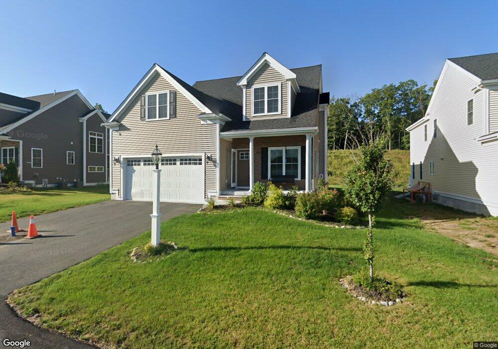
105 Black Birch Dr Wrentham, MA 02093
Estimated Value: $843,436 - $1,089,000
3
Beds
3
Baths
2,517
Sq Ft
$376/Sq Ft
Est. Value
About This Home
This home is located at 105 Black Birch Dr, Wrentham, MA 02093 and is currently estimated at $947,109, approximately $376 per square foot. 105 Black Birch Dr is a home with nearby schools including Delaney Elementary School and Charles E Roderick.
Ownership History
Date
Name
Owned For
Owner Type
Purchase Details
Closed on
Aug 30, 2016
Sold by
Eaglebrook Development
Bought by
Mohmmad-Abdul Hafiz and Noorie Lubna
Current Estimated Value
Home Financials for this Owner
Home Financials are based on the most recent Mortgage that was taken out on this home.
Original Mortgage
$520,900
Outstanding Balance
$410,229
Interest Rate
3%
Mortgage Type
Unknown
Estimated Equity
$536,880
Create a Home Valuation Report for This Property
The Home Valuation Report is an in-depth analysis detailing your home's value as well as a comparison with similar homes in the area
Purchase History
| Date | Buyer | Sale Price | Title Company |
|---|---|---|---|
| Mohmmad-Abdul Hafiz | $578,819 | -- |
Source: Public Records
Mortgage History
| Date | Status | Borrower | Loan Amount |
|---|---|---|---|
| Open | Mohmmad-Abdul Hafiz | $520,900 |
Source: Public Records
Tax History
| Year | Tax Paid | Tax Assessment Tax Assessment Total Assessment is a certain percentage of the fair market value that is determined by local assessors to be the total taxable value of land and additions on the property. | Land | Improvement |
|---|---|---|---|---|
| 2025 | $9,719 | $838,600 | $232,600 | $606,000 |
| 2024 | $9,152 | $762,700 | $232,600 | $530,100 |
| 2023 | $9,326 | $739,000 | $211,500 | $527,500 |
| 2022 | $8,902 | $651,200 | $205,800 | $445,400 |
| 2021 | $8,657 | $615,300 | $192,300 | $423,000 |
| 2020 | $8,812 | $618,400 | $146,800 | $471,600 |
| 2019 | $8,390 | $594,200 | $146,800 | $447,400 |
| 2018 | $7,967 | $559,500 | $146,900 | $412,600 |
| 2017 | $1,026 | $72,000 | $72,000 | $0 |
| 2016 | $1,000 | $70,000 | $70,000 | $0 |
Source: Public Records
Map
Nearby Homes
- 50 Reed Fulton Ave Unit Lot 61
- 500 Franklin St
- 75 Jordan Rd
- 18 Northern Spy Rd
- 45 Joshua Rd
- 3 Oak View Terrace Unit 3
- 9 Elliot Mills Unit 5
- 8 Elliot Mills Unit 30
- 5 Elliot Mills Unit 3
- 7 Elliot Mills Unit 4
- 10 Elliot Mills Unit 29
- 14 Waites Crossing
- 10 Waites Crossing
- 135 Creek St Unit 2
- 19 Waites Crossing
- 28 Waites Crossing
- 13 Waites Crossing
- 22 Waites Crossing
- 9 Waites Crossing
- 246 Forest Grove Ave
- 95 Black Birch Dr
- 115 Black Birch Dr
- 85 Black Birch Dr
- 90 Black Birch Dr
- 80 Black Birch Dr
- 100 Black Birch Dr
- 5 Red Fox Run
- 110 Black Birch Dr
- 75 Black Birch Dr
- 0000 Red Fox Run
- 120 Black Birch Dr
- 15 Red Fox Run
- 65 Black Birch Dr
- 25 Red Fox Run
- 5 Black Birch Dr
- 130 Black Birch Dr
- 10 Red Fox Run
- 35 Red Fox Run
- 135 Black Birch Dr
- 145 Black Birch Dr
Your Personal Tour Guide
Ask me questions while you tour the home.