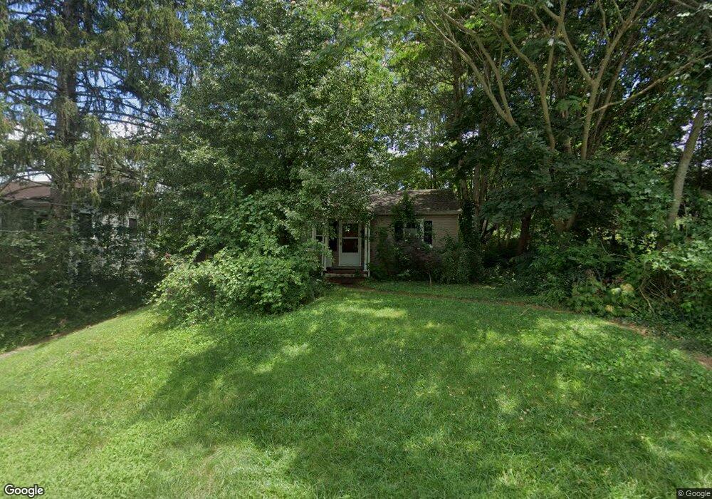
105 Blue Ridge Ave Asheville, NC 28806
West Asheville NeighborhoodEstimated Value: $331,678 - $375,000
2
Beds
1
Bath
750
Sq Ft
$481/Sq Ft
Est. Value
About This Home
This home is located at 105 Blue Ridge Ave, Asheville, NC 28806 and is currently estimated at $360,420, approximately $480 per square foot. 105 Blue Ridge Ave is a home located in Buncombe County with nearby schools including Hall Fletcher Elementary, Isaac Dickson Elementary, and Ira B Jones Elementary.
Ownership History
Date
Name
Owned For
Owner Type
Purchase Details
Closed on
Jun 17, 2024
Sold by
Allan Mitchell Douglas and Sharpe Cathie
Bought by
Mitchell Matthew Dylan
Current Estimated Value
Purchase Details
Closed on
May 14, 2010
Sold by
Mitchell John David and Mitchell Jennifer
Bought by
Mitchell Douglas Allan and Mitchell Cathie S
Purchase Details
Closed on
Nov 21, 2007
Sold by
Estate Of Ann Bowers Mitchell
Bought by
Mitchell Douglas Allan
Create a Home Valuation Report for This Property
The Home Valuation Report is an in-depth analysis detailing your home's value as well as a comparison with similar homes in the area
Home Values in the Area
Average Home Value in this Area
Purchase History
| Date | Buyer | Sale Price | Title Company |
|---|---|---|---|
| Mitchell Matthew Dylan | -- | None Listed On Document | |
| Mitchell Douglas Allan | -- | None Available | |
| Mitchell Douglas Allan | -- | None Available |
Source: Public Records
Tax History Compared to Growth
Tax History
| Year | Tax Paid | Tax Assessment Tax Assessment Total Assessment is a certain percentage of the fair market value that is determined by local assessors to be the total taxable value of land and additions on the property. | Land | Improvement |
|---|---|---|---|---|
| 2025 | $2,243 | $216,600 | $108,700 | $107,900 |
| 2024 | $2,243 | $216,600 | $108,700 | $107,900 |
| 2023 | $2,243 | $216,600 | $108,700 | $107,900 |
| 2022 | $2,160 | $216,600 | $108,700 | $107,900 |
| 2021 | $2,160 | $216,600 | $0 | $0 |
| 2020 | $1,961 | $181,900 | $0 | $0 |
| 2019 | $1,961 | $181,900 | $0 | $0 |
| 2018 | $1,961 | $181,900 | $0 | $0 |
| 2017 | $1,979 | $115,700 | $0 | $0 |
| 2016 | $1,422 | $115,700 | $0 | $0 |
| 2015 | $1,422 | $115,700 | $0 | $0 |
| 2014 | $1,405 | $115,700 | $0 | $0 |
Source: Public Records
Map
Nearby Homes
- 0000 New Leicester Hwy
- 5 Orrinel Way
- 23 Laurel Loop
- 20 Cloyes St
- 27 Mauricet Ln
- 31 Oakwood St
- 99999 Haywood Rd
- 7 Mauricet Ln
- 141 Louisiana Ave
- 55 Herron Ave
- 33 Wilshire Dr
- 30 Sand Hill Rd
- 18 Sand Hill Rd
- 155 Sulphur Springs Rd
- 197 Brucemont Cir
- 110 Providence Rd
- 32 Harnett St
- 74 Brucemont Cir
- 27 Ormond Ave
- 379 N Louisiana Ave
- 95 Blue Ridge Ave
- 107 Blue Ridge Ave
- 38 Pinellas Ave
- 36 Pinellas Ave
- 50 Pinellas Ave
- 34 Pinellas Ave
- 87 Blue Ridge Ave
- 54 Pinellas Ave
- 100 Blue Ridge Ave
- 30 & 38 Belleair Rd Unit Tracts 1 & 2
- 98 Blue Ridge Ave
- 20 Pinellas Ave
- 110 Blue Ridge Ave
- 96 Blue Ridge Ave
- 34 Belleair Rd Unit 2
- 34 Belleair Rd Unit Tracts 1,2,3
- 34 Belleair Rd Unit Tract 2
- 3 Belleair Rd
- 83 Blue Ridge Ave
- 15 Belleair Rd Unit 11