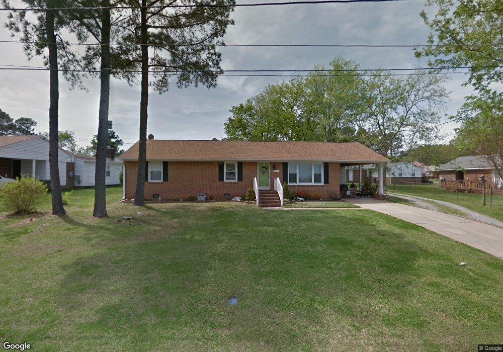
105 Briarcliff Cir Roanoke Rapids, NC 27870
Estimated Value: $225,000 - $301,000
3
Beds
2
Baths
2,215
Sq Ft
$114/Sq Ft
Est. Value
About This Home
This home is located at 105 Briarcliff Cir, Roanoke Rapids, NC 27870 and is currently estimated at $253,437, approximately $114 per square foot. 105 Briarcliff Cir is a home located in Halifax County with nearby schools including Roanoke Rapids High School, Gingerbread House, and Miracle Tabernacle Christian School.
Ownership History
Date
Name
Owned For
Owner Type
Purchase Details
Closed on
Jun 25, 2007
Sold by
Dickens Debra
Bought by
Allen Joseph S and Allen Cynthia P
Current Estimated Value
Home Financials for this Owner
Home Financials are based on the most recent Mortgage that was taken out on this home.
Original Mortgage
$142,000
Outstanding Balance
$100,224
Interest Rate
9.25%
Mortgage Type
Adjustable Rate Mortgage/ARM
Estimated Equity
$153,213
Purchase Details
Closed on
May 26, 2006
Sold by
Mccollough Gilbert L
Bought by
Dickens Debra
Home Financials for this Owner
Home Financials are based on the most recent Mortgage that was taken out on this home.
Original Mortgage
$92,800
Interest Rate
6.44%
Mortgage Type
New Conventional
Create a Home Valuation Report for This Property
The Home Valuation Report is an in-depth analysis detailing your home's value as well as a comparison with similar homes in the area
Home Values in the Area
Average Home Value in this Area
Purchase History
| Date | Buyer | Sale Price | Title Company |
|---|---|---|---|
| Allen Joseph S | $135,000 | None Available | |
| Dickens Debra | $116,000 | None Available |
Source: Public Records
Mortgage History
| Date | Status | Borrower | Loan Amount |
|---|---|---|---|
| Open | Allen Joseph S | $142,000 | |
| Previous Owner | Dickens Debra | $92,800 |
Source: Public Records
Tax History Compared to Growth
Tax History
| Year | Tax Paid | Tax Assessment Tax Assessment Total Assessment is a certain percentage of the fair market value that is determined by local assessors to be the total taxable value of land and additions on the property. | Land | Improvement |
|---|---|---|---|---|
| 2025 | $28 | $160,800 | $32,800 | $128,000 |
| 2024 | $28 | $160,800 | $32,800 | $128,000 |
| 2023 | $2,299 | $121,900 | $32,800 | $89,100 |
| 2022 | $2,319 | $121,900 | $32,800 | $89,100 |
| 2021 | $2,248 | $121,900 | $32,800 | $89,100 |
| 2020 | $2,258 | $121,900 | $32,800 | $89,100 |
| 2019 | $2,167 | $114,900 | $32,800 | $82,100 |
| 2018 | $2,120 | $114,900 | $32,800 | $82,100 |
| 2017 | $2,115 | $114,900 | $32,800 | $82,100 |
| 2016 | $2,176 | $114,900 | $32,800 | $82,100 |
| 2015 | $2,075 | $114,900 | $32,800 | $82,100 |
| 2014 | $2,158 | $125,630 | $37,890 | $87,740 |
Source: Public Records
Map
Nearby Homes
- 113 Briarcliff Cir
- 1103 E 7th St
- 1100 E 7th St
- 1111 E 7th St
- 785 Rivers Edge Pkwy
- 783 Rivers Edge Pkwy
- 792 Rivers Edge Pkwy
- 631 Arbutus Dr W
- 779 Rivers Edge Pkwy
- 786 Rivers Edge Pkwy
- 738 Rivers Edge Pkwy
- 784 Rivers Edge Pkwy
- LOT 14 Stoney Brook Dr
- 782 Rivers Edge Pkwy
- Taft Plan at Canal Walk
- Roosevelt Plan at Canal Walk
- Monroe Plan at Canal Walk
- Jefferson Plan at Canal Walk
- 780 Rivers Edge Pkwy
- 769 Rivers Edge Pkwy