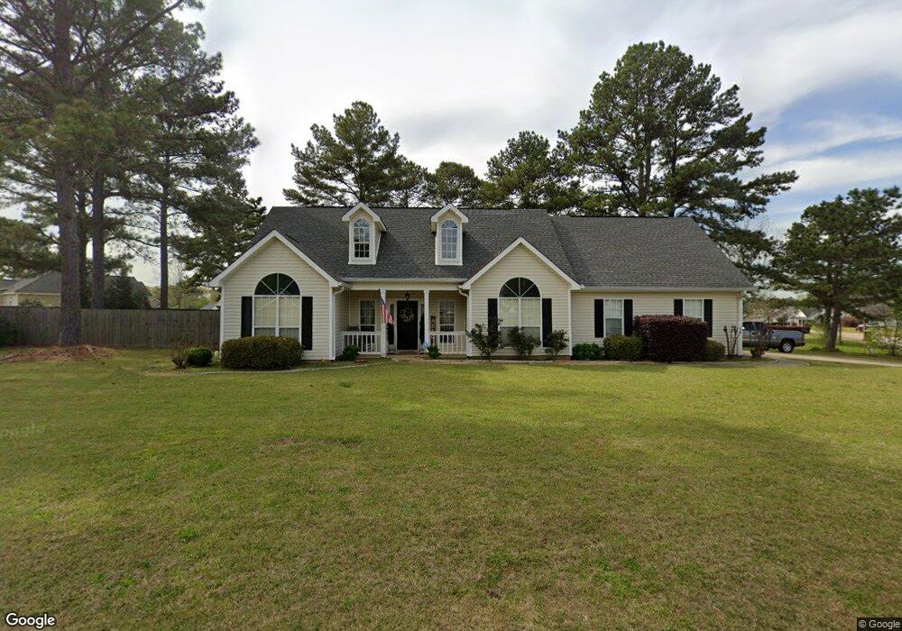
105 Brook Side Ln Unit Ln Warner Robins, GA 31088
Estimated Value: $295,262 - $326,000
3
Beds
3
Baths
1,910
Sq Ft
$161/Sq Ft
Est. Value
About This Home
This home is located at 105 Brook Side Ln Unit Ln, Warner Robins, GA 31088 and is currently estimated at $307,066, approximately $160 per square foot. 105 Brook Side Ln Unit Ln is a home located in Houston County with nearby schools including Lake Joy Primary School, Lake Joy Elementary School, and Feagin Mill Middle School.
Ownership History
Date
Name
Owned For
Owner Type
Purchase Details
Closed on
Jul 27, 2017
Sold by
Malcom Brett W and Malcom Natalic K
Bought by
Braun Steven W and Spears Jenna R
Current Estimated Value
Home Financials for this Owner
Home Financials are based on the most recent Mortgage that was taken out on this home.
Original Mortgage
$150,000
Outstanding Balance
$124,994
Interest Rate
3.91%
Mortgage Type
New Conventional
Estimated Equity
$182,072
Purchase Details
Closed on
Jul 3, 2001
Sold by
Jones Carl R
Bought by
Malcom Brett W and Natalie K*
Purchase Details
Closed on
Dec 14, 2000
Sold by
Hawthorne Group Llc
Bought by
Jones Carl R
Purchase Details
Closed on
Mar 1, 2000
Bought by
Hawthorne Group Llc
Create a Home Valuation Report for This Property
The Home Valuation Report is an in-depth analysis detailing your home's value as well as a comparison with similar homes in the area
Home Values in the Area
Average Home Value in this Area
Purchase History
| Date | Buyer | Sale Price | Title Company |
|---|---|---|---|
| Braun Steven W | $164,000 | None Available | |
| Malcom Brett W | $141,900 | -- | |
| Jones Carl R | -- | -- | |
| Hawthorne Group Llc | -- | -- |
Source: Public Records
Mortgage History
| Date | Status | Borrower | Loan Amount |
|---|---|---|---|
| Open | Braun Steven W | $150,000 |
Source: Public Records
Tax History Compared to Growth
Tax History
| Year | Tax Paid | Tax Assessment Tax Assessment Total Assessment is a certain percentage of the fair market value that is determined by local assessors to be the total taxable value of land and additions on the property. | Land | Improvement |
|---|---|---|---|---|
| 2024 | $2,916 | $89,120 | $12,400 | $76,720 |
| 2023 | $2,555 | $77,480 | $12,400 | $65,080 |
| 2022 | $1,697 | $73,800 | $12,400 | $61,400 |
| 2021 | $1,516 | $65,560 | $12,400 | $53,160 |
| 2020 | $1,515 | $65,200 | $12,400 | $52,800 |
| 2019 | $1,515 | $65,200 | $12,400 | $52,800 |
| 2018 | $1,524 | $65,600 | $12,400 | $53,200 |
| 2017 | $1,398 | $60,120 | $12,400 | $47,720 |
| 2016 | $1,400 | $60,120 | $12,400 | $47,720 |
| 2015 | $0 | $60,120 | $12,400 | $47,720 |
| 2014 | -- | $60,120 | $12,400 | $47,720 |
| 2013 | -- | $66,040 | $12,400 | $53,640 |
Source: Public Records
Map
Nearby Homes
- 105 Brook Side Ln
- 103 Brook Side Ln
- 207 Laurelbrook Dr
- 205 Laurelbrook Dr
- 106 Brook Side Ln
- 204 Sage Dr
- 103 Sage Dr
- 104 Brook Side Ln
- 201 Sage Dr
- 101 Brook Side Ln
- 209 Laurelbrook Dr
- 901 Bay Laurel Cir
- 206 Sage Dr
- 101 Sage Dr
- 203 Sage Dr
- 0 Sage Dr Unit 3194870
- 102 Brook Side Ln
- 903 Bay Laurel Cir
- 206 Laurelbrook Dr
- 102 White Pond Ln