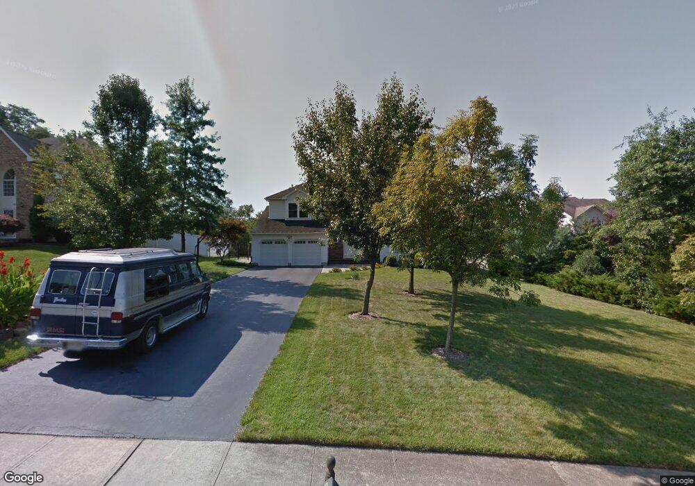
105 Bryce Ct Manalapan, NJ 07726
Estimated Value: $887,000 - $1,031,000
4
Beds
2
Baths
2,830
Sq Ft
$336/Sq Ft
Est. Value
About This Home
This home is located at 105 Bryce Ct, Manalapan, NJ 07726 and is currently estimated at $952,237, approximately $336 per square foot. 105 Bryce Ct is a home located in Monmouth County with nearby schools including Taylor Mills Elementary School, Manalapan-Englishtown Middle School, and Pine Brook Elementary School.
Ownership History
Date
Name
Owned For
Owner Type
Purchase Details
Closed on
Sep 2, 1999
Sold by
Oakwood Homes Inc
Bought by
Coughlin Thomas and Coughlin Laura
Current Estimated Value
Home Financials for this Owner
Home Financials are based on the most recent Mortgage that was taken out on this home.
Original Mortgage
$105,000
Outstanding Balance
$31,201
Interest Rate
7.85%
Estimated Equity
$921,036
Create a Home Valuation Report for This Property
The Home Valuation Report is an in-depth analysis detailing your home's value as well as a comparison with similar homes in the area
Home Values in the Area
Average Home Value in this Area
Purchase History
| Date | Buyer | Sale Price | Title Company |
|---|---|---|---|
| Coughlin Thomas | $290,000 | -- |
Source: Public Records
Mortgage History
| Date | Status | Borrower | Loan Amount |
|---|---|---|---|
| Open | Coughlin Thomas | $105,000 |
Source: Public Records
Tax History Compared to Growth
Tax History
| Year | Tax Paid | Tax Assessment Tax Assessment Total Assessment is a certain percentage of the fair market value that is determined by local assessors to be the total taxable value of land and additions on the property. | Land | Improvement |
|---|---|---|---|---|
| 2025 | $12,933 | $777,600 | $268,400 | $509,200 |
| 2024 | $12,549 | $766,200 | $268,400 | $497,800 |
| 2023 | $12,549 | $754,600 | $268,400 | $486,200 |
| 2022 | $12,080 | $681,300 | $218,400 | $462,900 |
| 2021 | $12,080 | $580,200 | $168,400 | $411,800 |
| 2020 | $11,923 | $578,800 | $168,400 | $410,400 |
| 2019 | $11,852 | $574,500 | $168,400 | $406,100 |
| 2018 | $11,634 | $560,400 | $168,400 | $392,000 |
| 2017 | $11,278 | $543,500 | $168,400 | $375,100 |
| 2016 | $11,250 | $547,700 | $168,400 | $379,300 |
| 2015 | $11,258 | $542,300 | $168,400 | $373,900 |
| 2014 | $11,447 | $537,400 | $168,100 | $369,300 |
Source: Public Records
Map
Nearby Homes
- 38 Wilson Ave
- 57 Chestnut Way
- 0 Private St Unit 22508862
- 28 Whittier Dr
- 21 Lone Star Ln
- 15 Lone Star Ln
- 51 Dortmunder Dr
- 21 Harrison Ave
- 56 Dortmunder Dr
- 34 Primrose Ct
- 36 Primrose Ct
- 24 Primrose Ct
- 22 Primrose Ct
- 16 Primrose Ct
- 32 Primrose Ct
- 20 Primrose Ct
- 163 Longwood Dr
- 39 Crimson Dr
- 52 Crimson Dr
- 83 Crimson Dr
- 107 Bryce Ct
- 103 Bryce Ct
- 10 Gordons Corner Rd
- 104 Bryce Ct
- 101 Bryce Ct
- 106 Bryce Ct
- 102 Bryce Ct
- 3 Pension Rd
- 1 Pension Rd
- 100 Bryce Ct
- 11 Gordons Corner Rd
- 15 Gordons Corner Rd
- 2 Pension Rd
- 9 Gordons Corner Rd
- 9 Sanford St
- 15 Pension Rd
- 5 Gordons Corner Rd
- 1 Vail Valley Dr
- 4 Pension Rd
- 17 Pension Rd