105 Canton St North Easton, MA 02356
Estimated Value: $450,000 - $1,112,000
--
Bed
--
Bath
--
Sq Ft
1.48
Acres
About This Home
This home is located at 105 Canton St, North Easton, MA 02356 and is currently estimated at $822,883. 105 Canton St is a home located in Bristol County with nearby schools including Easton Middle School.
Ownership History
Date
Name
Owned For
Owner Type
Purchase Details
Closed on
Oct 9, 2008
Sold by
Kelley Patrick B
Bought by
Kelley Kathy Cardarell and Kelley Patrick B
Current Estimated Value
Purchase Details
Closed on
Jan 19, 1995
Sold by
Kelley Patrick B
Bought by
Johnson Paul H
Home Financials for this Owner
Home Financials are based on the most recent Mortgage that was taken out on this home.
Original Mortgage
$36,734
Interest Rate
9.16%
Mortgage Type
Purchase Money Mortgage
Create a Home Valuation Report for This Property
The Home Valuation Report is an in-depth analysis detailing your home's value as well as a comparison with similar homes in the area
Home Values in the Area
Average Home Value in this Area
Purchase History
| Date | Buyer | Sale Price | Title Company |
|---|---|---|---|
| Kelley Kathy Cardarell | -- | -- | |
| Kelley Kathy Cardarell | -- | -- | |
| Johnson Paul H | $70,000 | -- | |
| Johnson Paul H | $70,000 | -- |
Source: Public Records
Mortgage History
| Date | Status | Borrower | Loan Amount |
|---|---|---|---|
| Previous Owner | Johnson Paul H | $36,734 |
Source: Public Records
Tax History Compared to Growth
Tax History
| Year | Tax Paid | Tax Assessment Tax Assessment Total Assessment is a certain percentage of the fair market value that is determined by local assessors to be the total taxable value of land and additions on the property. | Land | Improvement |
|---|---|---|---|---|
| 2025 | $4,596 | $368,300 | $368,300 | $0 |
| 2024 | $4,638 | $347,400 | $347,400 | $0 |
| 2023 | $5,069 | $347,400 | $347,400 | $0 |
| 2022 | $4,365 | $283,600 | $283,600 | $0 |
| 2021 | $4,000 | $258,400 | $258,400 | $0 |
| 2020 | $3,822 | $248,500 | $248,500 | $0 |
| 2019 | $3,966 | $248,500 | $248,500 | $0 |
| 2018 | $4,028 | $248,500 | $248,500 | $0 |
| 2017 | $4,031 | $248,500 | $248,500 | $0 |
| 2016 | $4,023 | $248,500 | $248,500 | $0 |
| 2015 | $3,391 | $202,100 | $202,100 | $0 |
| 2014 | $3,412 | $204,900 | $204,900 | $0 |
Source: Public Records
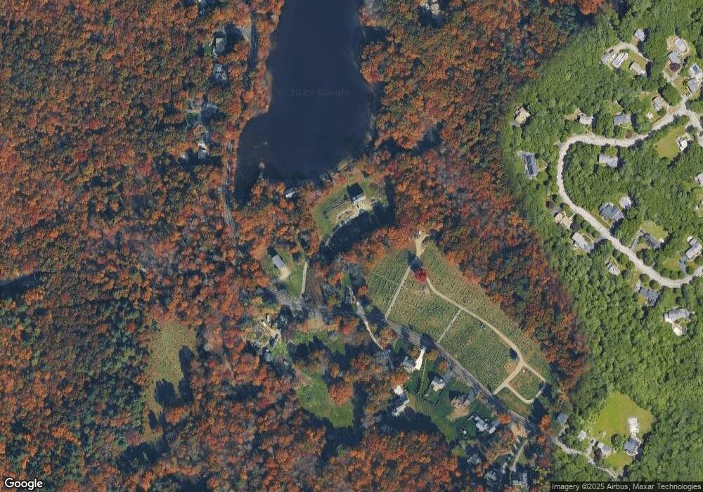
Map
Nearby Homes
- 175 N Main St
- 12 Holmes St
- 15 King Ave
- 93 Palisades Cir
- 8 Hobart Way
- 11 Olde Stable Ln
- 1 Whittier Ln Unit 1
- 18 Prudence Crandall Ln Unit 18
- 1600 West St
- 4 Eagle Rock Rd
- 67 Center St
- 224 Main St
- 225 Main St
- 56 Williams St
- Lot 8 Cooper Ln
- 32 Spooner St
- 334-336 Main St
- 14 Marshall Rd
- 280 Washington St
- 37 Kingsley Rd
- 101 Canton St
- 109 Canton St
- 109 Canton St Unit 1
- 113 Canton St
- 113 Canton St Unit 1
- 113 Canton St Unit 2
- 117 Canton St
- 98 Canton St
- 96 Canton St
- 96 Canton St Unit 1
- 96 Canton St Unit 2
- 96 Canton St Unit 5
- 96 Canton St
- 100 Canton St
- 92 Canton St
- 136 Canton St
- 15 Vineyard Place
- 19 Vineyard Place
- 19 Vineyard Place Unit 19
- 80 Canton St