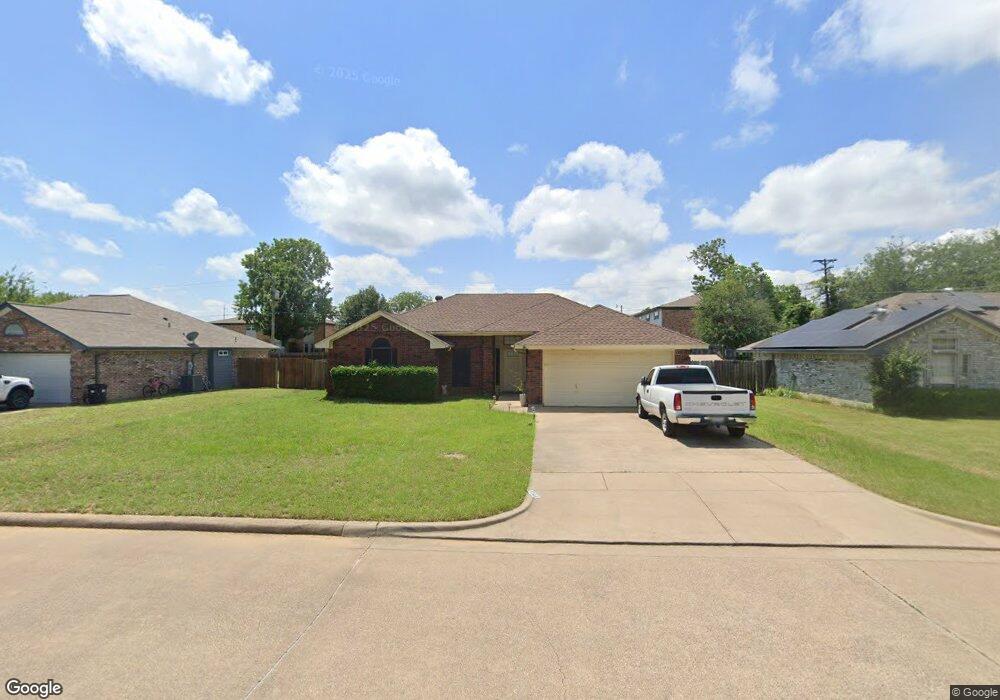
105 Catie Ln Joshua, TX 76058
Estimated Value: $251,000 - $272,000
3
Beds
2
Baths
1,349
Sq Ft
$193/Sq Ft
Est. Value
About This Home
This home is located at 105 Catie Ln, Joshua, TX 76058 and is currently estimated at $260,514, approximately $193 per square foot. 105 Catie Ln is a home located in Johnson County with nearby schools including A.G. Elder Elementary School, Joshua High School, and Joshua High School - 9th Grade Campus.
Ownership History
Date
Name
Owned For
Owner Type
Purchase Details
Closed on
Dec 2, 2019
Sold by
Deleon Juan G
Bought by
Deleon Juan G
Current Estimated Value
Purchase Details
Closed on
Feb 7, 2005
Sold by
Jennings Theresa Kay and Jennings Greg Alan
Bought by
Deleon Juan G and Deleon Graciela
Home Financials for this Owner
Home Financials are based on the most recent Mortgage that was taken out on this home.
Original Mortgage
$97,470
Interest Rate
5.8%
Mortgage Type
FHA
Create a Home Valuation Report for This Property
The Home Valuation Report is an in-depth analysis detailing your home's value as well as a comparison with similar homes in the area
Home Values in the Area
Average Home Value in this Area
Purchase History
| Date | Buyer | Sale Price | Title Company |
|---|---|---|---|
| Deleon Juan G | -- | Jim Ross Law Group Pc | |
| Deleon Juan G | -- | None Available |
Source: Public Records
Mortgage History
| Date | Status | Borrower | Loan Amount |
|---|---|---|---|
| Previous Owner | Deleon Juan G | $97,470 |
Source: Public Records
Tax History Compared to Growth
Tax History
| Year | Tax Paid | Tax Assessment Tax Assessment Total Assessment is a certain percentage of the fair market value that is determined by local assessors to be the total taxable value of land and additions on the property. | Land | Improvement |
|---|---|---|---|---|
| 2025 | $2,243 | $222,219 | $25,000 | $197,219 |
| 2024 | $3,639 | $149,503 | $0 | $0 |
| 2023 | $1,823 | $151,401 | $25,000 | $126,401 |
| 2022 | $3,100 | $151,401 | $25,000 | $126,401 |
| 2021 | $2,843 | $151,401 | $25,000 | $126,401 |
| 2020 | $2,796 | $102,113 | $25,000 | $77,113 |
| 2019 | $3,022 | $105,041 | $25,000 | $80,041 |
| 2018 | $3,106 | $105,041 | $25,000 | $80,041 |
| 2017 | $3,104 | $105,041 | $25,000 | $80,041 |
| 2016 | $2,926 | $99,031 | $15,000 | $84,031 |
| 2015 | $2,432 | $99,031 | $15,000 | $84,031 |
| 2014 | $2,432 | $99,031 | $15,000 | $84,031 |
Source: Public Records
Map
Nearby Homes
- 312 Comanche Walk
- 520 Palo Duro Dr
- 414 Dakota Dr
- 304 Comanche Walk
- 108 Sally St
- 527 Lone Star St
- 200 Wayside St
- 608 W Sheila Cir
- 613 W Sheila Cir
- 628 E Sheila Cir
- 205 Greenhill Dr
- 629 E Sheila Cir
- 107 E 10th St
- 102 Carlock St
- 209 E 8th St
- 401 Eddy Ave
- 601 Eddy Ave
- 307 Gregory St
- 408 Eddy Ave
- 500 N Main St
- 103 Catie Ln
- 107 Catie Ln
- 101 Catie Ln
- 104 Catie Ln
- 102 Catie Ln
- 106 Catie Ln
- 208 Lone Star St
- 206 Lone Star St
- 405 McMillain St
- 210 Lone Star St
- 100 Catie Ln
- 204 Lone Star St
- 214 Lone Star St
- 501 Palo Duro Dr
- 500 Casa Linda St
- 202 Lone Star St
- 216 Lone Star St
- 605 Dakota Dr
- 603 Dakota Dr
- 607 Dakota Dr