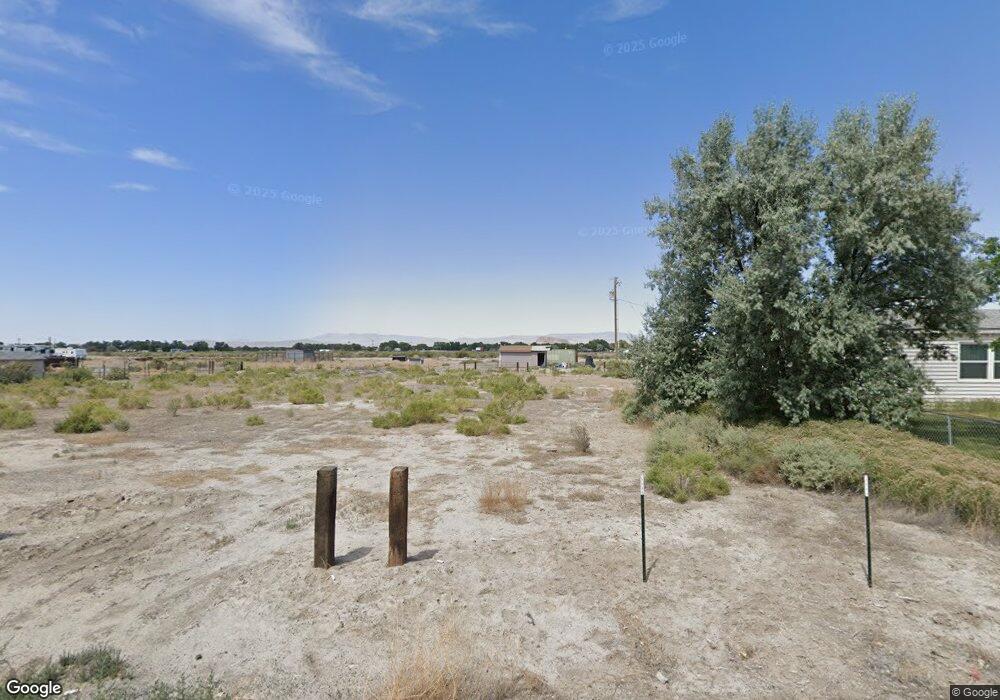
105 Cessna Ln Unit 11 Lovelock, NV 89419
Estimated Value: $19,000 - $105,000
--
Bed
--
Bath
--
Sq Ft
0.36
Acres
About This Home
This home is located at 105 Cessna Ln Unit 11, Lovelock, NV 89419 and is currently estimated at $62,000. 105 Cessna Ln Unit 11 is a home located in Pershing County with nearby schools including Pershing County Middle School and Pershing County High School.
Ownership History
Date
Name
Owned For
Owner Type
Purchase Details
Closed on
Sep 9, 2025
Sold by
Tillman Tile & Stone Inc
Bought by
Peterson Megan Danae
Current Estimated Value
Purchase Details
Closed on
Mar 21, 2023
Sold by
House Of Lithe Dragons Llc
Bought by
Tillman Tile & Stone Inc
Purchase Details
Closed on
Jan 4, 2023
Sold by
Kennerson Robert R
Bought by
House Of Lithe Dragons Llc
Purchase Details
Closed on
Jul 22, 2016
Sold by
Casey Michael A and Casey Claudia C
Bought by
Shriners Hosp For Chldrn
Create a Home Valuation Report for This Property
The Home Valuation Report is an in-depth analysis detailing your home's value as well as a comparison with similar homes in the area
Home Values in the Area
Average Home Value in this Area
Purchase History
| Date | Buyer | Sale Price | Title Company |
|---|---|---|---|
| Peterson Megan Danae | $46,000 | Core Title Group Llc | |
| Tillman Tile & Stone Inc | $37,000 | -- | |
| House Of Lithe Dragons Llc | $234,000 | -- | |
| Shriners Hosp For Chldrn | -- | Western Title Inc |
Source: Public Records
Tax History Compared to Growth
Tax History
| Year | Tax Paid | Tax Assessment Tax Assessment Total Assessment is a certain percentage of the fair market value that is determined by local assessors to be the total taxable value of land and additions on the property. | Land | Improvement |
|---|---|---|---|---|
| 2025 | $141 | $5,250 | $5,250 | -- |
| 2024 | $141 | $5,250 | $5,250 | $0 |
| 2023 | $141 | $5,250 | $5,250 | $0 |
| 2022 | $121 | $3,906 | $3,906 | $0 |
| 2021 | $121 | $3,906 | $3,906 | $0 |
| 2020 | $121 | $3,906 | $3,906 | $0 |
| 2019 | $121 | $3,906 | $3,906 | $0 |
| 2018 | $121 | $3,906 | $3,906 | $0 |
| 2017 | $130 | $4,200 | $4,200 | $0 |
| 2016 | $130 | $4,200 | $4,200 | $0 |
| 2015 | $130 | $4,200 | $4,200 | $0 |
| 2014 | $130 | $4,200 | $4,200 | $0 |
Source: Public Records
Map
Nearby Homes
- 135 Cessna Ln
- 58 River Banks Ct
- 68 River Banks Ct
- 200 Raymond Rd
- 750 Airport Rd
- 0 Airport Rd
- 2515 Upper Valley Rd
- 5105 N Meridian Rd
- 1645 Central Ave
- 1605 Central Ave
- 750 16th St
- 1465 Central Ave
- 1070 Cornell Ave
- APN 14th St
- T28 R31 Sec 27
- T33 R37 Sec 3
- 595 Taylor Place
- 0 None Unit 250052017
- 0 None Unit 250052015
- 815 16th St
- 105 Cessna Ln
- 101,105 Cessna Ln
- 0 Cessna Ln Unit 200003220
- 0 Cessna Ln Unit 90001146
- 0 Cessna Ln Unit 60015517
- 0 Cessna Ln Unit 190012353
- 0 Cessna Ln Unit 220013507
- 0 Cessna Ln Unit 100011132
- 0 Cessna Ln Unit 10 200003220
- 95 Cessna Ln
- 110 Cessna Ln
- 90 Cessna Ln
- 85 Cessna Ln
- 85 Cessna Ln Unit 8
- 120 Cessna Ln
- 80 Cessna Ln
- 140 Cessna Ln
- 125 Cessna Ln
- 130 Cessna Ln
- 70 Cessna Ln