105 Columbine Dr South Fork, CO 81154
Estimated Value: $650,000 - $979,000
3
Beds
3
Baths
1,824
Sq Ft
$419/Sq Ft
Est. Value
About This Home
This home is located at 105 Columbine Dr, South Fork, CO 81154 and is currently estimated at $764,258, approximately $419 per square foot. 105 Columbine Dr is a home located in Mineral County with nearby schools including Creede Middle/High School.
Ownership History
Date
Name
Owned For
Owner Type
Purchase Details
Closed on
Nov 22, 2017
Sold by
Rogers William J and Rogers Sue E
Bought by
Richard Ramie B and Hale Patricia K
Current Estimated Value
Home Financials for this Owner
Home Financials are based on the most recent Mortgage that was taken out on this home.
Original Mortgage
$100,000
Interest Rate
6%
Mortgage Type
New Conventional
Purchase Details
Closed on
Jul 12, 2011
Bought by
Rogers William J and Rogers Sue E
Create a Home Valuation Report for This Property
The Home Valuation Report is an in-depth analysis detailing your home's value as well as a comparison with similar homes in the area
Home Values in the Area
Average Home Value in this Area
Purchase History
| Date | Buyer | Sale Price | Title Company |
|---|---|---|---|
| Richard Ramie B | $260,100 | -- | |
| Rogers William J | $220,000 | -- |
Source: Public Records
Mortgage History
| Date | Status | Borrower | Loan Amount |
|---|---|---|---|
| Closed | Richard Ramie B | $100,000 |
Source: Public Records
Tax History Compared to Growth
Tax History
| Year | Tax Paid | Tax Assessment Tax Assessment Total Assessment is a certain percentage of the fair market value that is determined by local assessors to be the total taxable value of land and additions on the property. | Land | Improvement |
|---|---|---|---|---|
| 2024 | $1,856 | $30,865 | $1,964 | $28,901 |
| 2023 | $1,836 | $27,181 | $1,730 | $25,451 |
| 2022 | $1,669 | $24,268 | $1,819 | $22,449 |
| 2021 | $1,763 | $24,966 | $1,871 | $23,095 |
| 2020 | $1,290 | $18,419 | $1,871 | $16,548 |
| 2019 | $1,290 | $18,419 | $1,871 | $16,548 |
| 2018 | $1,294 | $18,405 | $1,742 | $16,663 |
| 2017 | $1,298 | $18,405 | $1,742 | $16,663 |
| 2016 | $1,377 | $19,591 | $1,926 | $17,665 |
| 2015 | $1,322 | $18,833 | $1,926 | $16,907 |
| 2014 | $1,322 | $18,621 | $1,926 | $16,695 |
| 2012 | $1,000 | $223,818 | $22,000 | $201,818 |
Source: Public Records
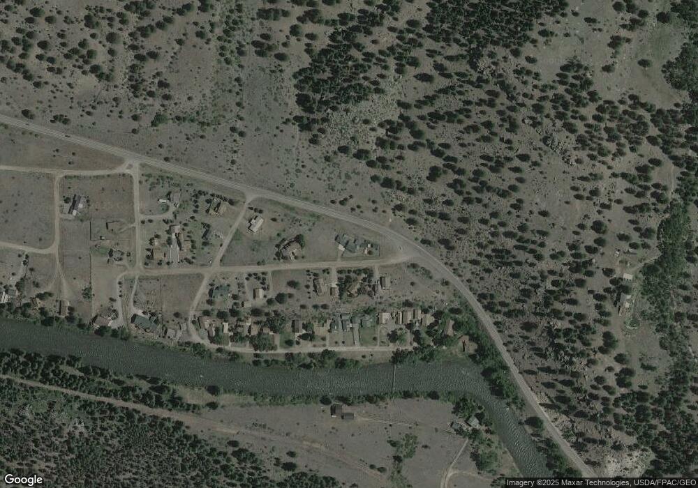
Map
Nearby Homes
- 106 Lupine Dr
- 271 Master's Place
- 170 Ford Ln
- 164 Woodchuck Dr
- 120 East St
- 1128 Rio Grande Trail
- 545 Timberline Trail
- TBD Colorado 149
- 65 Timberline Trail
- 0 Ellingwood Dr Unit 829439
- 59 Spruce Dr W
- TBD Little Bear Circle Lot 54
- TBD Little Bear Circle Lot 55
- 44 Hopi Ct
- 7 Cottonwood Dr
- 254 Timberline Trail
- 550 Rio Grande Club Trail
- 11 Blanca Vista Dr
- 7 Blanca Vista Dr
- 580 Blanca Vista Dr
- 107 Columbine Dr
- 104 Columbine Dr
- 0 Columbine Dr
- 0 Columbinedrive
- 102 Columbine Dr
- 106 Columbine Dr
- 11672 State Highway 149
- 109 Columbine Dr
- 301 Riverside Ranch Rd
- 275 Riverside Ranch Rd
- 315 Riverside Ranch Rd
- 317 Riverside Ranch Rd
- 259 Riverside Ranch Rd
- 323 Riverside Ranch Rd
- 106 Lupine Ln
- 247 Riverside Ranch Rd
- 227 Riverside Ranch Rd
- 112 Columbine Dr
- 205 Riverside Ranch Rd
- 205 Riverside Ranch Rd