105 Deer Ridge Dr West Bend, WI 53095
Estimated Value: $384,000 - $441,000
2
Beds
3
Baths
2,526
Sq Ft
$164/Sq Ft
Est. Value
About This Home
This home is located at 105 Deer Ridge Dr, West Bend, WI 53095 and is currently estimated at $414,842, approximately $164 per square foot. 105 Deer Ridge Dr is a home located in Washington County with nearby schools including McLane Elementary School, Silverbrook Intermediate School, and East High School.
Ownership History
Date
Name
Owned For
Owner Type
Purchase Details
Closed on
Aug 28, 2019
Sold by
Wise David R
Bought by
Brummond William M and Brummond Donna M
Current Estimated Value
Home Financials for this Owner
Home Financials are based on the most recent Mortgage that was taken out on this home.
Original Mortgage
$224,000
Outstanding Balance
$149,312
Interest Rate
3.8%
Mortgage Type
New Conventional
Estimated Equity
$265,530
Purchase Details
Closed on
May 15, 2013
Sold by
Wise Virginia H
Bought by
Virginia H Wise Living Trust
Create a Home Valuation Report for This Property
The Home Valuation Report is an in-depth analysis detailing your home's value as well as a comparison with similar homes in the area
Home Values in the Area
Average Home Value in this Area
Purchase History
| Date | Buyer | Sale Price | Title Company |
|---|---|---|---|
| Brummond William M | $280,000 | Priority Title Corporation | |
| Virginia H Wise Living Trust | -- | None Available |
Source: Public Records
Mortgage History
| Date | Status | Borrower | Loan Amount |
|---|---|---|---|
| Open | Brummond William M | $224,000 |
Source: Public Records
Tax History Compared to Growth
Tax History
| Year | Tax Paid | Tax Assessment Tax Assessment Total Assessment is a certain percentage of the fair market value that is determined by local assessors to be the total taxable value of land and additions on the property. | Land | Improvement |
|---|---|---|---|---|
| 2024 | $5,227 | $400,700 | $55,000 | $345,700 |
| 2023 | $4,655 | $266,600 | $40,000 | $226,600 |
| 2022 | $4,693 | $266,600 | $40,000 | $226,600 |
| 2021 | $4,819 | $266,600 | $40,000 | $226,600 |
| 2020 | $4,732 | $266,600 | $40,000 | $226,600 |
| 2019 | $4,581 | $266,600 | $40,000 | $226,600 |
| 2018 | $4,445 | $266,600 | $40,000 | $226,600 |
| 2017 | $3,498 | $189,800 | $40,000 | $149,800 |
| 2016 | $3,518 | $189,800 | $40,000 | $149,800 |
| 2015 | $3,509 | $189,800 | $40,000 | $149,800 |
| 2014 | $3,601 | $189,800 | $40,000 | $149,800 |
| 2013 | $3,893 | $189,800 | $40,000 | $149,800 |
Source: Public Records
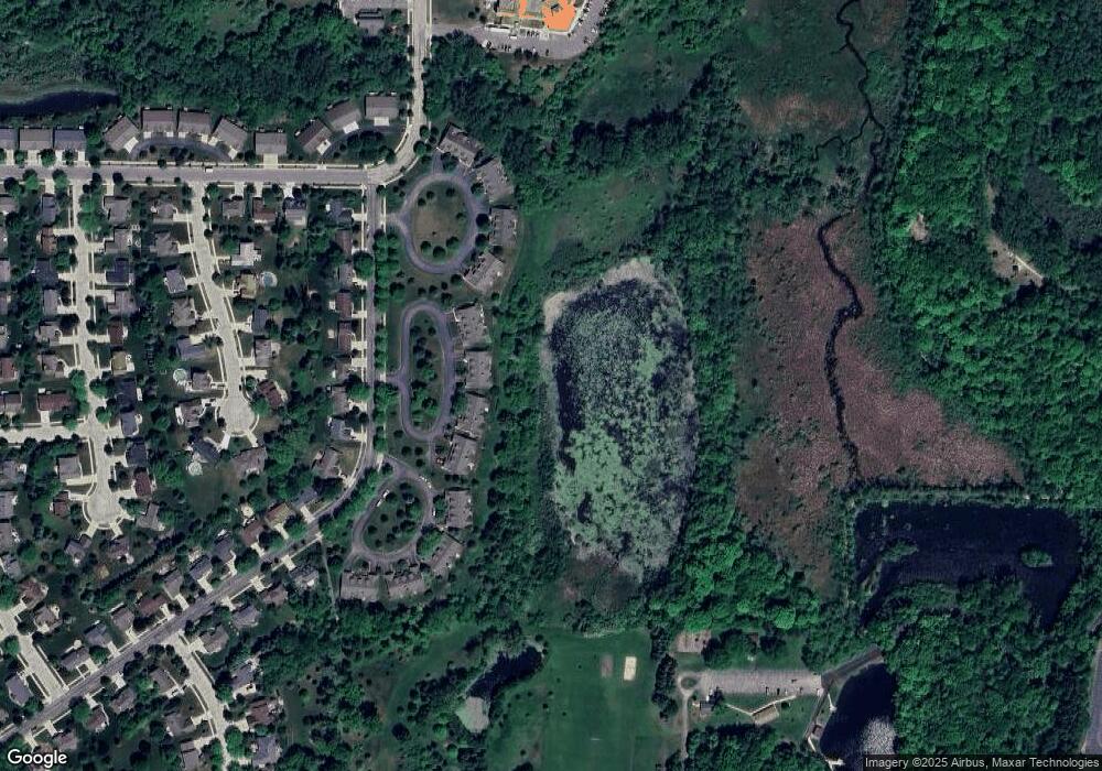
Map
Nearby Homes
- 125 N University Dr Unit 220
- 125 N University Dr Unit 314
- 2346 W Washington St
- 4000 W Washington St
- 810 Rockingham Ct Unit D
- 2106 Chestnut St
- 1925 Hilltop Dr
- 1803 Hilltop Dr
- 3316 Mediterranean Ave
- 3218 Windsor Place
- 1103 Squire Ln
- 2124 Willowbrook Dr
- 2110 Hollow Cir
- 625 Westridge Dr Unit 2
- 2606 Park Forest Dr
- 707 Tamarack Dr E
- 213 S 15th Ave
- 1370 Chestnut St
- 1208 N Glenwood Cir
- 653 S 15th Ave
- 107 Deer Ridge Dr
- 103 Deer Ridge Dr
- 109 Deer Ridge Dr
- 111 Deer Ridge Dr
- 113 Deer Ridge Dr
- 2722 Valley Ave
- 2724 Valley Ave
- 100 Deer Ridge Dr
- 117 Deer Ridge Dr
- 2726 Valley Ave
- 119 Deer Ridge Dr
- 2728 Valley Ave
- 108 Deer Ridge Dr
- 2800 Valley Ave
- 2802 Valley Ave
- 116 Deer Ridge Dr
- 121 Deer Ridge Dr
- 121 Deer Ridge Dr Unit B2-A
- 123 Deer Ridge Dr
- 2805 Valley Ave