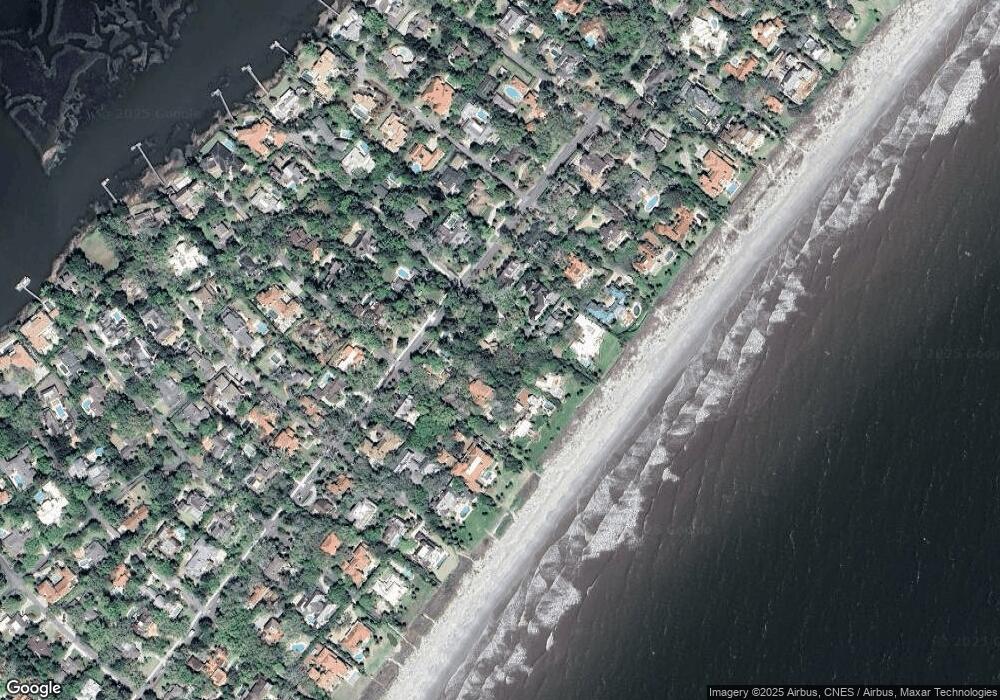
105 E 10th St Sea Island, GA 31561
Sea Island NeighborhoodEstimated Value: $4,774,000 - $6,781,000
4
Beds
5
Baths
5,137
Sq Ft
$1,071/Sq Ft
Est. Value
About This Home
This home is located at 105 E 10th St, Sea Island, GA 31561 and is currently estimated at $5,500,255, approximately $1,070 per square foot. 105 E 10th St is a home with nearby schools including Oglethorpe Point Elementary School, Glynn Middle School, and Glynn Academy.
Ownership History
Date
Name
Owned For
Owner Type
Purchase Details
Closed on
Mar 31, 2011
Sold by
Fickling William A
Bought by
The William A Fickling Iii Family Reside
Current Estimated Value
Create a Home Valuation Report for This Property
The Home Valuation Report is an in-depth analysis detailing your home's value as well as a comparison with similar homes in the area
Home Values in the Area
Average Home Value in this Area
Purchase History
| Date | Buyer | Sale Price | Title Company |
|---|---|---|---|
| The William A Fickling Iii Family Reside | $900,244 | -- | |
| The Jane Dru Fickling Skinner Family Res | $900,244 | -- | |
| The Julia Claudia Fickling Tiller Family | $900,244 | -- | |
| The Roy H Fickling Family Residence Trus | $900,244 | -- |
Source: Public Records
Tax History Compared to Growth
Tax History
| Year | Tax Paid | Tax Assessment Tax Assessment Total Assessment is a certain percentage of the fair market value that is determined by local assessors to be the total taxable value of land and additions on the property. | Land | Improvement |
|---|---|---|---|---|
| 2025 | $89,033 | $3,527,600 | $2,656,520 | $871,080 |
| 2024 | $61,918 | $2,453,280 | $1,747,280 | $706,000 |
| 2023 | $60,804 | $2,453,280 | $1,747,280 | $706,000 |
| 2022 | $48,260 | $2,503,400 | $1,747,280 | $756,120 |
| 2021 | $49,864 | $1,907,160 | $1,533,520 | $373,640 |
| 2020 | $44,713 | $1,693,440 | $1,319,800 | $373,640 |
| 2019 | $44,686 | $1,692,400 | $1,319,800 | $372,600 |
| 2018 | $44,562 | $1,687,680 | $1,319,800 | $367,880 |
| 2017 | $42,254 | $1,600,040 | $1,234,280 | $365,760 |
| 2016 | $33,147 | $1,363,400 | $1,020,520 | $342,880 |
| 2015 | $31,204 | $1,277,920 | $935,040 | $342,880 |
| 2014 | $31,204 | $1,277,920 | $935,040 | $342,880 |
Source: Public Records
Map
Nearby Homes
- 114 E 10th St
- 204 W 8th St Unit (Cottage 44)
- 261 W 10th St Unit (Cottage 565)
- 236 6th St Unit ,Cottage 465
- 0 Sea Island Dr
- 1704 Sea Island Dr
- 600 Beach Club Ln Unit 623/624
- 200 Beach Club Ln Unit 424
- 301 Black Banks Ln Unit 9
- 50 Dune Ave Unit 5, qtr. 3 (rms 111 &
- 50 Dune Ave Unit 9
- 10 Dune Ave Unit 16 (QTR INT 1)
- 10 Dune Ave
- 10 Dune Ave Unit (17, Room 142, 142P)
- 204 W Twenty Eighth St Unit (Cottage 204)
- 157 Shore Rush Dr
- 406 Palm Dr
- 228 Sea Palms Colony Unit 228C
- 122 Shore Rush Dr
- 280 Moss Oak Ln
- 224 E 10th St
- 114 E 10th St Unit C-82
- 114 E Tenth (Cottage 82) St
- 106 E 10th St
- 119 E 10th St
- 104 E 9th St
- 120 E 10th St
- 118 E 9th St
- 1006 Sea Island (Cottage 86) Dr
- 107 E 11th St
- 1006 E Sea Island Dr
- 135 E 10th St
- 1006 Sea Island Dr
- TRACT C Estate 9a Waverly Farms
- 121 E 11th St
- 000 9th St
- 1000 Sea Island Dr Unit 54
- 1000 Sea Island Dr Unit 6
- 1000 Sea Island Dr Unit 74
- 132 Ninth Street (Cottage 45)
