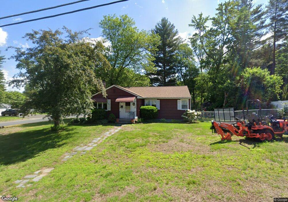
105 E Allen Ridge Rd Springfield, MA 01118
East Forest Park NeighborhoodEstimated Value: $257,000 - $323,000
3
Beds
1
Bath
1,222
Sq Ft
$243/Sq Ft
Est. Value
About This Home
This home is located at 105 E Allen Ridge Rd, Springfield, MA 01118 and is currently estimated at $296,467, approximately $242 per square foot. 105 E Allen Ridge Rd is a home located in Hampden County with nearby schools including Frederick Harris Elementary School, M Marcus Kiley Middle, and Springfield High School of Science and Technology.
Ownership History
Date
Name
Owned For
Owner Type
Purchase Details
Closed on
Apr 26, 1996
Sold by
Novack Naomi S
Bought by
Forni Debra M
Current Estimated Value
Home Financials for this Owner
Home Financials are based on the most recent Mortgage that was taken out on this home.
Original Mortgage
$76,534
Outstanding Balance
$4,285
Interest Rate
7.81%
Mortgage Type
Purchase Money Mortgage
Estimated Equity
$292,182
Create a Home Valuation Report for This Property
The Home Valuation Report is an in-depth analysis detailing your home's value as well as a comparison with similar homes in the area
Home Values in the Area
Average Home Value in this Area
Purchase History
| Date | Buyer | Sale Price | Title Company |
|---|---|---|---|
| Forni Debra M | $76,250 | -- |
Source: Public Records
Mortgage History
| Date | Status | Borrower | Loan Amount |
|---|---|---|---|
| Open | Forni Debra M | $76,534 |
Source: Public Records
Tax History
| Year | Tax Paid | Tax Assessment Tax Assessment Total Assessment is a certain percentage of the fair market value that is determined by local assessors to be the total taxable value of land and additions on the property. | Land | Improvement |
|---|---|---|---|---|
| 2025 | $4,072 | $259,700 | $50,600 | $209,100 |
| 2024 | $4,094 | $254,900 | $50,600 | $204,300 |
| 2023 | $4,211 | $247,000 | $48,200 | $198,800 |
| 2022 | $3,527 | $187,400 | $48,200 | $139,200 |
| 2021 | $3,364 | $178,000 | $43,800 | $134,200 |
| 2020 | $3,220 | $164,900 | $43,800 | $121,100 |
| 2019 | $3,068 | $155,900 | $43,800 | $112,100 |
| 2018 | $3,050 | $155,000 | $43,800 | $111,200 |
| 2017 | $2,862 | $145,600 | $43,800 | $101,800 |
| 2016 | $2,768 | $140,800 | $43,800 | $97,000 |
| 2015 | $2,679 | $136,200 | $43,800 | $92,400 |
Source: Public Records
Map
Nearby Homes
- 125 Manor Ct Unit 125
- 119 Powell Ave
- 46 Hadley St
- 19 Manor Ct Unit 19
- 206 Treetop Ave
- 55 Allen St
- 1088 Sumner Ave
- 13 Bither St
- 17 Pebble Mill Rd
- 79 Roosevelt Ave
- 79 Arvilla St
- 101 Regal St
- 161 Dorset St
- 34 Castle St
- 509 Plumtree Rd
- 134 Eddywood St
- 7 Ashbrook St
- 77 Dorset St
- 86 Talmadge Dr
- 85 Talmadge Dr
- 0 Gifford St
- 117 E Allen Ridge Rd
- 373 Gifford St
- 91 E Allen Ridge Rd
- 108 E Allen Ridge Rd
- 378 Gifford St
- 381 Gifford St
- 125 E Allen Ridge Rd
- 118 E Allen Ridge Rd
- 83 E Allen Ridge Rd
- 387 Gifford St
- 335 Gifford St
- 14 Amos Dr
- 90 E Allen Ridge Rd
- 134 Canterbury Rd
- 128 E Allen Ridge Rd
- 135 E Allen Ridge Rd
- 140 Canterbury Rd
- 128 Canterbury Rd
- 148 Canterbury Rd
Your Personal Tour Guide
Ask me questions while you tour the home.