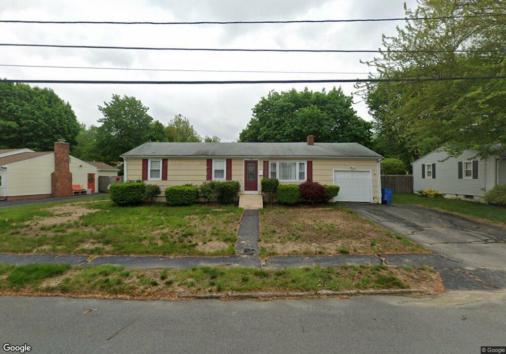
105 Eagle Rd Cranston, RI 02920
Thornton NeighborhoodEstimated Value: $440,125 - $502,000
3
Beds
2
Baths
2,120
Sq Ft
$222/Sq Ft
Est. Value
About This Home
This home is located at 105 Eagle Rd, Cranston, RI 02920 and is currently estimated at $471,531, approximately $222 per square foot. 105 Eagle Rd is a home located in Providence County with nearby schools including Stone Hill School, Western Hills Middle School, and Cranston High School West.
Ownership History
Date
Name
Owned For
Owner Type
Purchase Details
Closed on
Jul 28, 2006
Sold by
Huller Herbert and Huller Florinda
Bought by
Sanabach Christopher and Sanabach Kim
Current Estimated Value
Home Financials for this Owner
Home Financials are based on the most recent Mortgage that was taken out on this home.
Original Mortgage
$289,900
Outstanding Balance
$168,637
Interest Rate
6.67%
Mortgage Type
Purchase Money Mortgage
Estimated Equity
$302,894
Create a Home Valuation Report for This Property
The Home Valuation Report is an in-depth analysis detailing your home's value as well as a comparison with similar homes in the area
Home Values in the Area
Average Home Value in this Area
Purchase History
| Date | Buyer | Sale Price | Title Company |
|---|---|---|---|
| Sanabach Christopher | $290,000 | -- |
Source: Public Records
Mortgage History
| Date | Status | Borrower | Loan Amount |
|---|---|---|---|
| Open | Sanabach Christopher | $289,900 | |
| Previous Owner | Sanabach Christopher | $6,000 | |
| Previous Owner | Sanabach Christopher | $99,300 |
Source: Public Records
Tax History
| Year | Tax Paid | Tax Assessment Tax Assessment Total Assessment is a certain percentage of the fair market value that is determined by local assessors to be the total taxable value of land and additions on the property. | Land | Improvement |
|---|---|---|---|---|
| 2025 | $5,080 | $366,000 | $123,800 | $242,200 |
| 2024 | $4,981 | $366,000 | $123,800 | $242,200 |
| 2023 | $5,044 | $266,900 | $89,000 | $177,900 |
| 2022 | $4,940 | $266,900 | $89,000 | $177,900 |
| 2021 | $4,804 | $266,900 | $89,000 | $177,900 |
| 2020 | $4,476 | $215,500 | $89,000 | $126,500 |
| 2019 | $4,476 | $215,500 | $89,000 | $126,500 |
| 2018 | $4,372 | $215,500 | $89,000 | $126,500 |
| 2017 | $4,086 | $178,100 | $71,200 | $106,900 |
| 2016 | $3,998 | $178,100 | $71,200 | $106,900 |
| 2015 | $3,998 | $178,100 | $71,200 | $106,900 |
| 2014 | $4,091 | $179,100 | $71,200 | $107,900 |
Source: Public Records
Map
Nearby Homes
- 244 Stony Acre Dr
- 46 Lake Garden Dr
- 51 Janet Dr
- 72 Westfield Dr
- 44 Village Ave
- 71 Elite Dr
- 105 Amy Dr
- 65 Traymore St
- 74 Woodside St
- 1757 Plainfield Pike
- 0 Macera Dr
- 1603 Plainfield Pike Unit G8
- 27 Nardolillo St
- 333 Phenix Ave
- 11 Bellevue Dr
- 0 Phenix Ave Unit 1408504
- 60 Imperial Ave
- 9 Baker St
- 93 Elena St
- 00 Burton St
- 115 Eagle Rd
- 101 Eagle Rd
- 174 Pheasant Dr
- 164 Pheasant Dr
- 106 Eagle Rd
- 125 Eagle Rd
- 116 Eagle Rd
- 100 Eagle Rd
- 15 Starling Dr
- 180 Pheasant Dr
- 5 Starling Dr
- 120 Eagle Rd
- 27 Starling Dr
- 196 Pheasant Dr
- 115 Quail Hollow Rd
- 123 Quail Hollow Rd
- 128 Eagle Rd
- 109 Quail Hollow Rd
- 129 Quail Hollow Rd
- 173 Pheasant Dr
Your Personal Tour Guide
Ask me questions while you tour the home.