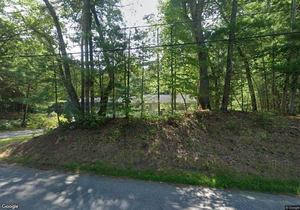
105 Jackman St Georgetown, MA 01833
Estimated Value: $697,000 - $795,000
3
Beds
2
Baths
1,554
Sq Ft
$477/Sq Ft
Est. Value
About This Home
This home is located at 105 Jackman St, Georgetown, MA 01833 and is currently estimated at $740,994, approximately $476 per square foot. 105 Jackman St is a home located in Essex County with nearby schools including Perley Elementary School, Penn Brook School, and Georgetown High School.
Ownership History
Date
Name
Owned For
Owner Type
Purchase Details
Closed on
Mar 27, 2003
Sold by
Taft Michael
Bought by
Taft Michael
Current Estimated Value
Create a Home Valuation Report for This Property
The Home Valuation Report is an in-depth analysis detailing your home's value as well as a comparison with similar homes in the area
Home Values in the Area
Average Home Value in this Area
Purchase History
| Date | Buyer | Sale Price | Title Company |
|---|---|---|---|
| Taft Michael | -- | -- |
Source: Public Records
Mortgage History
| Date | Status | Borrower | Loan Amount |
|---|---|---|---|
| Open | Taft Michael | $20,000 | |
| Previous Owner | Taft Michael | $147,000 | |
| Previous Owner | Taft Michael | $66,500 |
Source: Public Records
Tax History
| Year | Tax Paid | Tax Assessment Tax Assessment Total Assessment is a certain percentage of the fair market value that is determined by local assessors to be the total taxable value of land and additions on the property. | Land | Improvement |
|---|---|---|---|---|
| 2025 | $8,372 | $757,000 | $310,300 | $446,700 |
| 2024 | $7,294 | $581,200 | $214,800 | $366,400 |
| 2023 | $7,573 | $583,400 | $214,800 | $368,600 |
| 2022 | $7,179 | $509,900 | $187,100 | $322,800 |
| 2021 | $8,102 | $509,900 | $187,100 | $322,800 |
| 2020 | $7,720 | $484,900 | $187,100 | $297,800 |
| 2019 | $7,496 | $475,000 | $183,500 | $291,500 |
| 2018 | $6,452 | $406,300 | $183,500 | $222,800 |
| 2017 | $6,586 | $406,300 | $183,500 | $222,800 |
| 2016 | $6,448 | $406,300 | $183,500 | $222,800 |
| 2015 | $5,776 | $360,300 | $183,500 | $176,800 |
| 2014 | $5,062 | $360,300 | $183,500 | $176,800 |
Source: Public Records
Map
Nearby Homes
- 66 Parish Rd Unit 8
- 66 Parish Rd Unit 4
- 11 Main St
- 13 Main St
- 34 Central St
- 38 Main St
- 38 Pearson Dr
- 36 Caldwell Farm Rd
- 17 Church St
- 304-312 Wethersfield St
- 308 & 312 Wethersfield St
- 55 Pearson Dr Unit 9 - ALDER
- 55 Pearson Dr Unit 8-Dogwood
- 55 Pearson Dr Unit 11-Chestnut
- 55 Pearson Dr Unit 3 - ALDER
- 55 Pearson Dr Unit 6-Dogwood
- 18 Forest St
- 5 Oak Terrace
- Lot 6 Osprey Ct
- 1 Osprey Ct
Your Personal Tour Guide
Ask me questions while you tour the home.