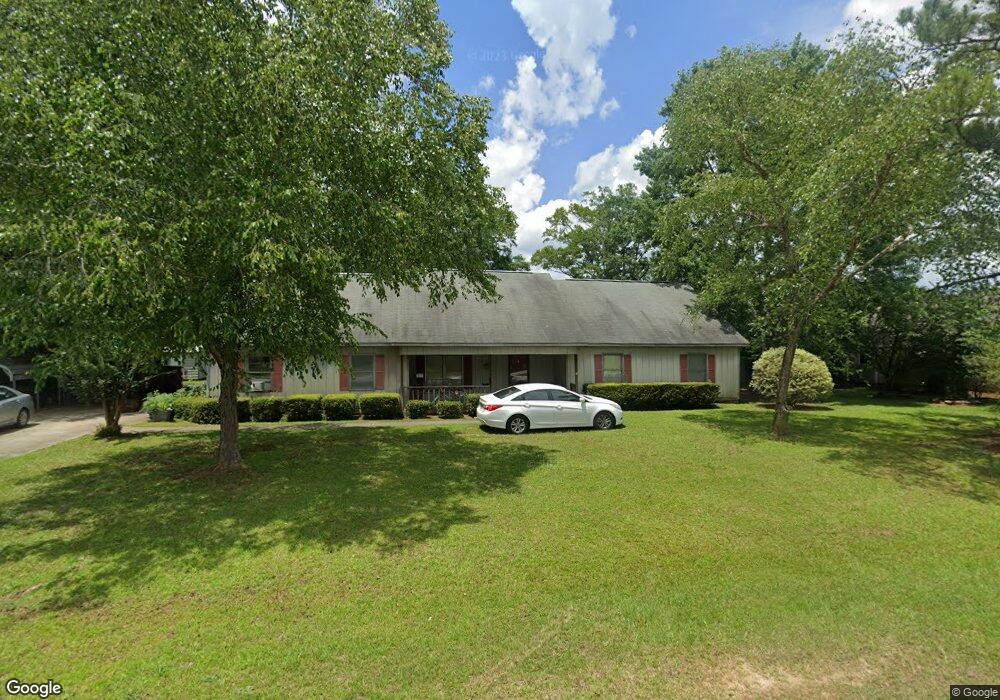
105 Lenox Dr Bonaire, GA 31005
Estimated Value: $235,000 - $289,000
--
Bed
1
Bath
1,815
Sq Ft
$143/Sq Ft
Est. Value
About This Home
This home is located at 105 Lenox Dr, Bonaire, GA 31005 and is currently estimated at $259,704, approximately $143 per square foot. 105 Lenox Dr is a home located in Houston County with nearby schools including Bonaire Elementary School, Bonaire Middle School, and Veterans High School.
Ownership History
Date
Name
Owned For
Owner Type
Purchase Details
Closed on
Aug 8, 2014
Sold by
Hardin Richard T
Bought by
Hardin Barbara Earle
Current Estimated Value
Purchase Details
Closed on
Apr 30, 2004
Sold by
Goode Samuel and Goode Susan V
Bought by
Denney Mark T and Denney Kelley L
Purchase Details
Closed on
Jul 31, 1992
Bought by
Goode Samuel
Purchase Details
Closed on
Jul 10, 1989
Create a Home Valuation Report for This Property
The Home Valuation Report is an in-depth analysis detailing your home's value as well as a comparison with similar homes in the area
Home Values in the Area
Average Home Value in this Area
Purchase History
| Date | Buyer | Sale Price | Title Company |
|---|---|---|---|
| Hardin Barbara Earle | -- | -- | |
| Denney Mark T | $126,300 | -- | |
| Goode Samuel | $89,700 | -- | |
| -- | $7,000 | -- |
Source: Public Records
Tax History Compared to Growth
Tax History
| Year | Tax Paid | Tax Assessment Tax Assessment Total Assessment is a certain percentage of the fair market value that is determined by local assessors to be the total taxable value of land and additions on the property. | Land | Improvement |
|---|---|---|---|---|
| 2024 | $1,769 | $73,960 | $9,000 | $64,960 |
| 2023 | $1,367 | $56,560 | $9,000 | $47,560 |
| 2022 | $1,225 | $50,680 | $9,000 | $41,680 |
| 2021 | $1,149 | $47,280 | $9,000 | $38,280 |
| 2020 | $1,145 | $46,920 | $9,000 | $37,920 |
| 2019 | $1,145 | $46,920 | $9,000 | $37,920 |
| 2018 | $1,145 | $46,920 | $9,000 | $37,920 |
| 2017 | $1,171 | $47,920 | $9,000 | $38,920 |
| 2016 | $1,173 | $47,920 | $9,000 | $38,920 |
| 2015 | $1,175 | $47,920 | $9,000 | $38,920 |
| 2014 | -- | $47,920 | $9,000 | $38,920 |
| 2013 | -- | $47,920 | $9,000 | $38,920 |
Source: Public Records
Map
Nearby Homes
- 506 Toccoa Ct
- 507 Toccoa Ct
- Brunswick Plan at Riverbend North
- Grayson Plan at Riverbend North
- 508 Toccoa Ct
- Sullivan Plan at Riverbend North
- Camden Plan at Riverbend North
- 204 Flat Shoal Dr
- 206 Flat Shoal Dr
- 224 Flat Shoal Dr
- 226 Flat Shoal Dr
- 500 Greenview Ct
- 102 Waterford Dr
- 207 Wedgewood Dr
- 2001 Pin Oak Terrace
- 642 McCarley Downs Dr
- Belmont Plan at Magnolia Flats
- Delilah Plan at Magnolia Flats
- Harrison Plan at Magnolia Flats
- Hawthorne Plan at Magnolia Flats
- 000 Lenox Dr
- 107 Lenox Dr
- 103 Lenox Dr
- 102 Lenox Dr
- 101 Wedgewood Dr
- 109 Lenox Dr
- 534 Thompson Mill Rd
- 108 Lenox Dr
- 111 Lenox Dr
- 536 Thompson Mill Rd
- 532 Thompson Mill Rd
- 103 Wedgewood Dr
- 526 Thompson Mill Rd
- 538 Thompson Mill Rd
- 530 Thompson Mill Rd
- 110 Lenox Dr
- 104 Wedgewood Dr
- 113 Lenox Dr
- 105 Wedgewood Dr
- 540 Thompson Mill Rd