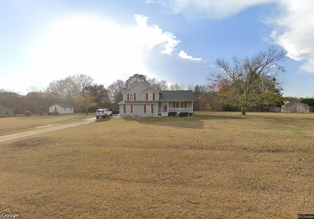
105 Millbrook Way McDonough, GA 30252
Estimated Value: $264,786 - $329,000
3
Beds
3
Baths
1,776
Sq Ft
$167/Sq Ft
Est. Value
About This Home
This home is located at 105 Millbrook Way, McDonough, GA 30252 and is currently estimated at $297,447, approximately $167 per square foot. 105 Millbrook Way is a home located in Henry County with nearby schools including New Hope Elementary School, Ola Middle School, and Ola High School.
Ownership History
Date
Name
Owned For
Owner Type
Purchase Details
Closed on
Jun 19, 2023
Sold by
Mallett Raymond G
Bought by
Mallett Kimberly A
Current Estimated Value
Purchase Details
Closed on
Nov 10, 1993
Sold by
T Archit G
Bought by
Mallett Raymond G Kimberly
Home Financials for this Owner
Home Financials are based on the most recent Mortgage that was taken out on this home.
Original Mortgage
$95,778
Interest Rate
7%
Mortgage Type
VA
Create a Home Valuation Report for This Property
The Home Valuation Report is an in-depth analysis detailing your home's value as well as a comparison with similar homes in the area
Home Values in the Area
Average Home Value in this Area
Purchase History
| Date | Buyer | Sale Price | Title Company |
|---|---|---|---|
| Mallett Kimberly A | -- | -- | |
| Mallett Raymond G Kimberly | $93,900 | -- |
Source: Public Records
Mortgage History
| Date | Status | Borrower | Loan Amount |
|---|---|---|---|
| Previous Owner | Mallett Raymond G Kimberly | $95,778 |
Source: Public Records
Tax History Compared to Growth
Tax History
| Year | Tax Paid | Tax Assessment Tax Assessment Total Assessment is a certain percentage of the fair market value that is determined by local assessors to be the total taxable value of land and additions on the property. | Land | Improvement |
|---|---|---|---|---|
| 2025 | $2,893 | $105,560 | $14,000 | $91,560 |
| 2024 | $2,893 | $105,040 | $14,000 | $91,040 |
| 2023 | $2,433 | $103,640 | $14,000 | $89,640 |
| 2022 | $2,269 | $75,320 | $14,000 | $61,320 |
| 2021 | $2,147 | $70,160 | $14,000 | $56,160 |
| 2020 | $1,942 | $61,480 | $12,000 | $49,480 |
| 2019 | $1,864 | $58,200 | $12,000 | $46,200 |
| 2018 | $1,854 | $57,760 | $10,800 | $46,960 |
| 2016 | $1,736 | $52,760 | $10,000 | $42,760 |
| 2015 | $1,129 | $34,840 | $8,000 | $26,840 |
| 2014 | $1,008 | $31,560 | $8,000 | $23,560 |
Source: Public Records
Map
Nearby Homes
- 136 Crown Forest Dr
- 1891 Highway 81 E
- 153 Hilda Way
- 1926 King Mill Rd
- 1916 King Mill Rd
- 1936 King Mill Rd
- 125 Chardonnay Oaks Dr
- 275 S Bethany Rd
- 136 Hilda Way
- 242 Old Jackson Rd
- 469 Kimberly Ct
- 315 S Bethany Rd
- 461 Old Jackson Rd
- 405 Cynthia Ln
- 239 Darwish Dr
- 2563 Highway 81 E
- 812 Graeme Dr
- 125 Allie Dr
- 767 Old Jackson Rd
- 1616 King Mill Rd
- 115 Millbrook Way
- 95 Millbrook Way
- 307 Mill Glen Ct
- 110 Millbrook Way
- 100 Millbrook Way
- 125 Millbrook Way
- 200 Millstone Ct
- 1975 Highway 81 E
- 2043 Highway 81 E
- 201 Millstone Ct
- 20 Bethany Woods Ct
- 210 Millstone Ct
- 308 Mill Glen Ct
- 130 Millbrook Way
- 2057 Highway 81 E
- 302 Mill Glen Ct
- 221 Millstone Ct
- 300 Mill Glen Ct
- 304 Mill Glen Ct
- 312 Mill Glen Ct