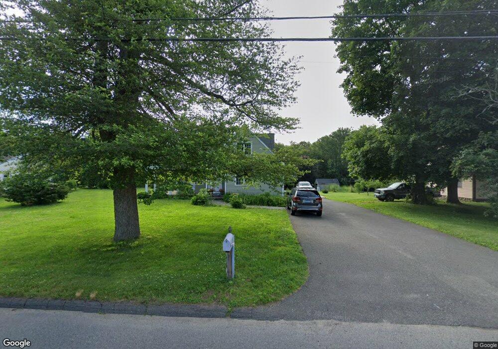
105 Mountain Rd Seymour, CT 06483
Estimated Value: $470,000 - $517,000
4
Beds
3
Baths
1,537
Sq Ft
$314/Sq Ft
Est. Value
About This Home
This home is located at 105 Mountain Rd, Seymour, CT 06483 and is currently estimated at $483,034, approximately $314 per square foot. 105 Mountain Rd is a home located in New Haven County with nearby schools including Bungay Elementary School, Seymour Middle School, and Seymour High School.
Ownership History
Date
Name
Owned For
Owner Type
Purchase Details
Closed on
Mar 15, 2004
Sold by
Cronin Ellen A
Bought by
Cronin Jeffrey A and Cronin Aimee S
Current Estimated Value
Home Financials for this Owner
Home Financials are based on the most recent Mortgage that was taken out on this home.
Original Mortgage
$40,000
Interest Rate
5.67%
Mortgage Type
Purchase Money Mortgage
Create a Home Valuation Report for This Property
The Home Valuation Report is an in-depth analysis detailing your home's value as well as a comparison with similar homes in the area
Home Values in the Area
Average Home Value in this Area
Purchase History
| Date | Buyer | Sale Price | Title Company |
|---|---|---|---|
| Cronin Jeffrey A | $40,000 | -- | |
| Cronin Jeffrey A | $40,000 | -- |
Source: Public Records
Mortgage History
| Date | Status | Borrower | Loan Amount |
|---|---|---|---|
| Closed | Cronin Jeffrey A | $179,425 | |
| Closed | Cronin Jeffrey A | $235,625 | |
| Closed | Cronin Jeffrey A | $260,000 | |
| Closed | Cronin Jeffrey A | $40,000 |
Source: Public Records
Tax History Compared to Growth
Tax History
| Year | Tax Paid | Tax Assessment Tax Assessment Total Assessment is a certain percentage of the fair market value that is determined by local assessors to be the total taxable value of land and additions on the property. | Land | Improvement |
|---|---|---|---|---|
| 2025 | $7,828 | $282,380 | $53,200 | $229,180 |
| 2024 | $7,868 | $213,570 | $54,880 | $158,690 |
| 2023 | $7,684 | $213,570 | $54,880 | $158,690 |
| 2022 | $7,601 | $213,570 | $54,880 | $158,690 |
| 2021 | $7,413 | $213,570 | $54,880 | $158,690 |
| 2020 | $6,726 | $186,830 | $64,400 | $122,430 |
| 2019 | $6,726 | $186,830 | $64,400 | $122,430 |
| 2018 | $6,726 | $186,830 | $64,400 | $122,430 |
| 2017 | $6,726 | $186,830 | $64,400 | $122,430 |
| 2016 | $6,726 | $186,830 | $64,400 | $122,430 |
| 2015 | $6,639 | $191,940 | $67,760 | $124,180 |
| 2014 | $6,534 | $191,940 | $67,760 | $124,180 |
Source: Public Records
Map
Nearby Homes
- 42 Greenwood Cir
- 6 Stanley Dr
- 41 Balance Rock Rd Unit 16
- 93 Balance Rock Rd Unit 1
- 37-14, 49-1, 79-2, 7 Balance Rock Rd
- 98 Great Hill Rd
- 26 Edgewood Rd
- 11 Oxford Rd
- 3 Deer Run Dr
- 68 New St
- 30 Fairfield Rd
- 0 Hill East Rd Unit 24131331
- 50 Bissell Place
- 106 Botsford Rd
- 55 Tram Dr
- 6 Park Rd
- 61 Pershing Ave
- 22 Brookfield Rd
- 169 Derby Ave
- 132 Botsford Rd
- 107 Mountain Rd
- 103 Mountain Rd
- 109 Mountain Rd
- 110 Mountain Rd
- 111 Mountain Rd
- 99 Mountain Rd
- 108 Mountain Rd
- 100 Mountain Rd
- 101 Mountain Rd
- 95 Mountain Rd
- 115 Mountain Rd
- 5 Summit Dr
- 117 Mountain Rd
- 116 Mountain Rd
- 96 Mountain Rd
- 93 Mountain Rd
- 7 Summit Dr
- 26 Sagamore Dr
- 8 Mannweiler Rd
- 4 Summit Dr